 Robbo – The Blog of Andrew Robertson
From: Yarrawonga
To: Near Barooga
Distance: 42km
Distance to Go: 1945km
Today started off so well. I got up early and walked into town (about 1km) to visit the bakery and Yarrawonga’s excellent coffee shop (Harduck Coffee Co.). I figured since these places were open at 6.30am I might as well have a good breakfast before starting my 6 day paddle to Echuca.
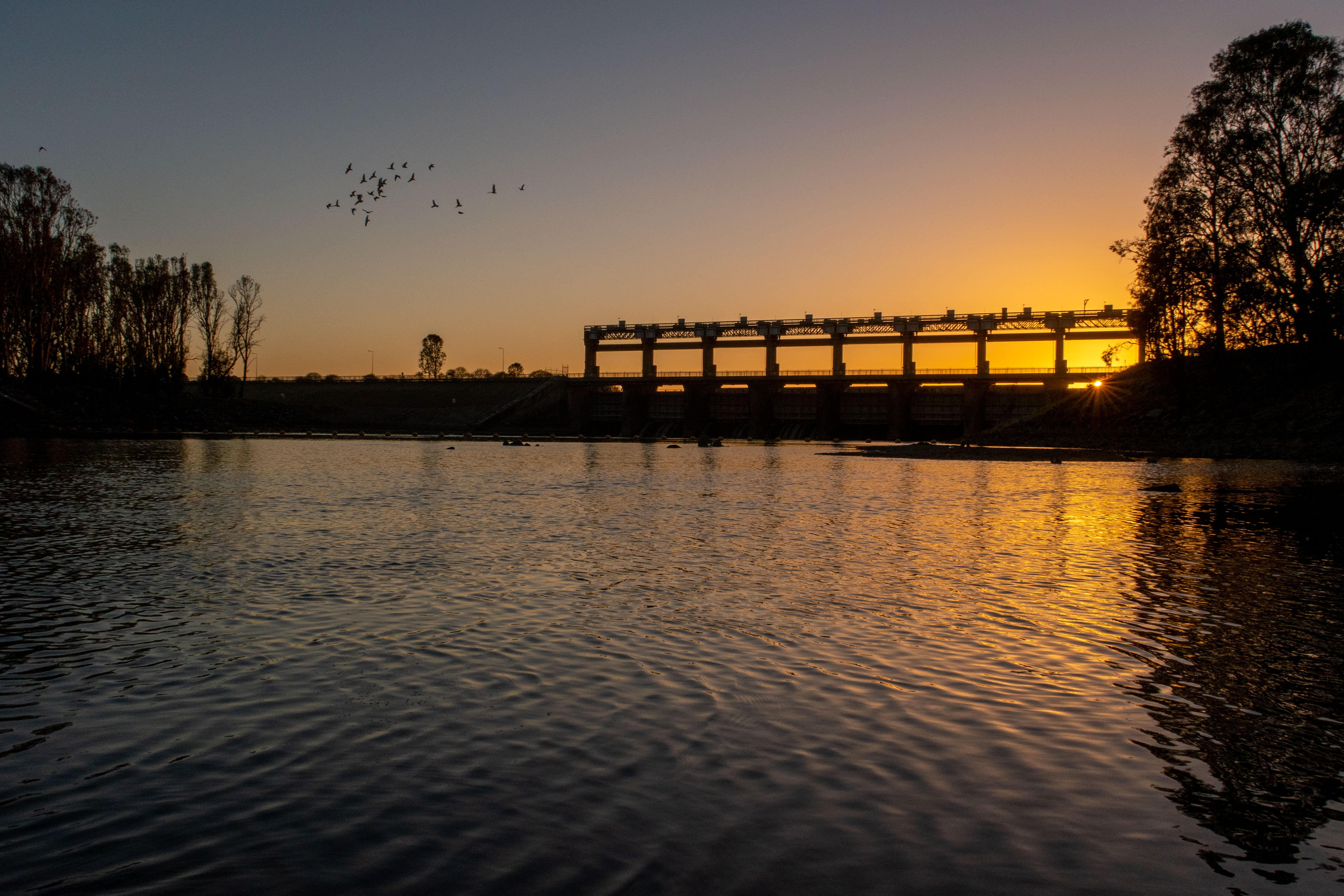
It looked like it was going to be a good day. The sky was clear and there was only a gentle headwind. Despite heading into town for food and coffee, I was still down by the water, below the Yarrawonga Weir, at sunrise and paddling soon after.
It was a good day. The water was deep, there was a slight flow from the water being released from the weir and the weather was nice. My body was feeling good, I was motivated and paddling well.
At lunch time, while I was sitting on the bank eating cheese and cabana on crackers, the clouds came over and it started to get really cold. So I put all my warm gear on again and started paddling again.
And then…
At 1.20pm I got a message from Kath saying “Victoria is going into a 7 day lockdown”.
Shit.
They have apparently had a run of covid cases (I am a bit out of touch from the news and reality) and they were going to go into lockdown from midnight. More importantly for me, I could not enter Victoria (the lefthand bank) after 4pm or I would have to go into self quarantine at home. As mentioned in previous posts and videos, the river itself is in NSW, so I was fine as long as I did not step foot on the Victoria (left) side of the river.
So with a lot of calls and chat with Kath, Mum and Dad, we came up with a plan. Mum and Dad would drive down from their place at Binalong (about 4 hours away) with the trailer and pick me up. I will then go to Binalong and wait there for the lockdown to end.
The first challenge was that I was in the middle of nowhere and it was already early afternoon. As (also) previously mentioned, all of the camping sites and access points are generally on the Victorian side. The NSW side is mostly private property. Also, knowing that it would be dark by the time Mum and Dad got to me, I needed to find somewhere that would not require too much crazy bush bashing to get to me. After some intense studying of Google Maps, I found a part of the river (which happened to almost be across the river from where I was planning to camp) that looked like it had a track to a road. My only fear was the bank would be too high to scramble up with all the gear.
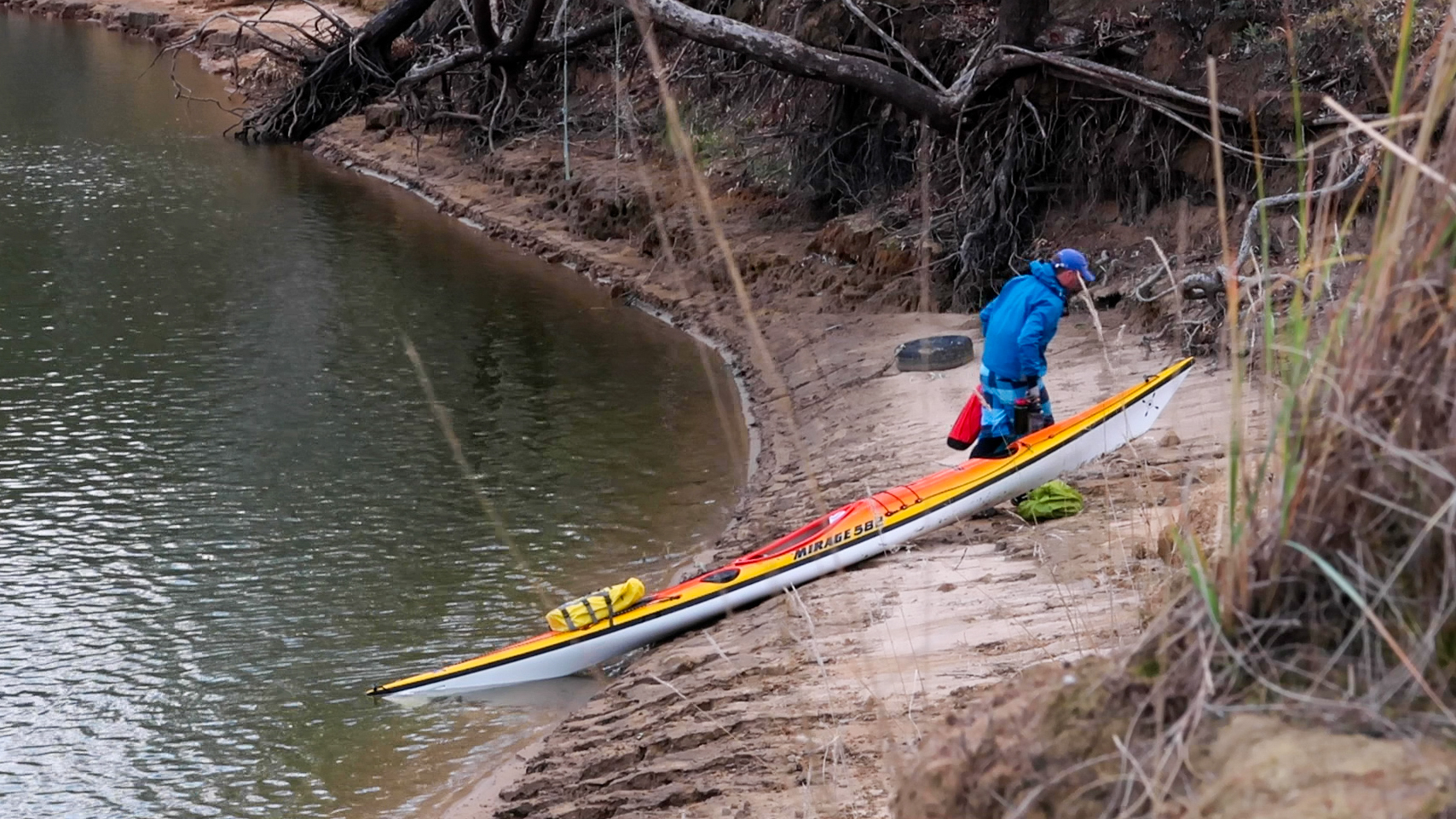
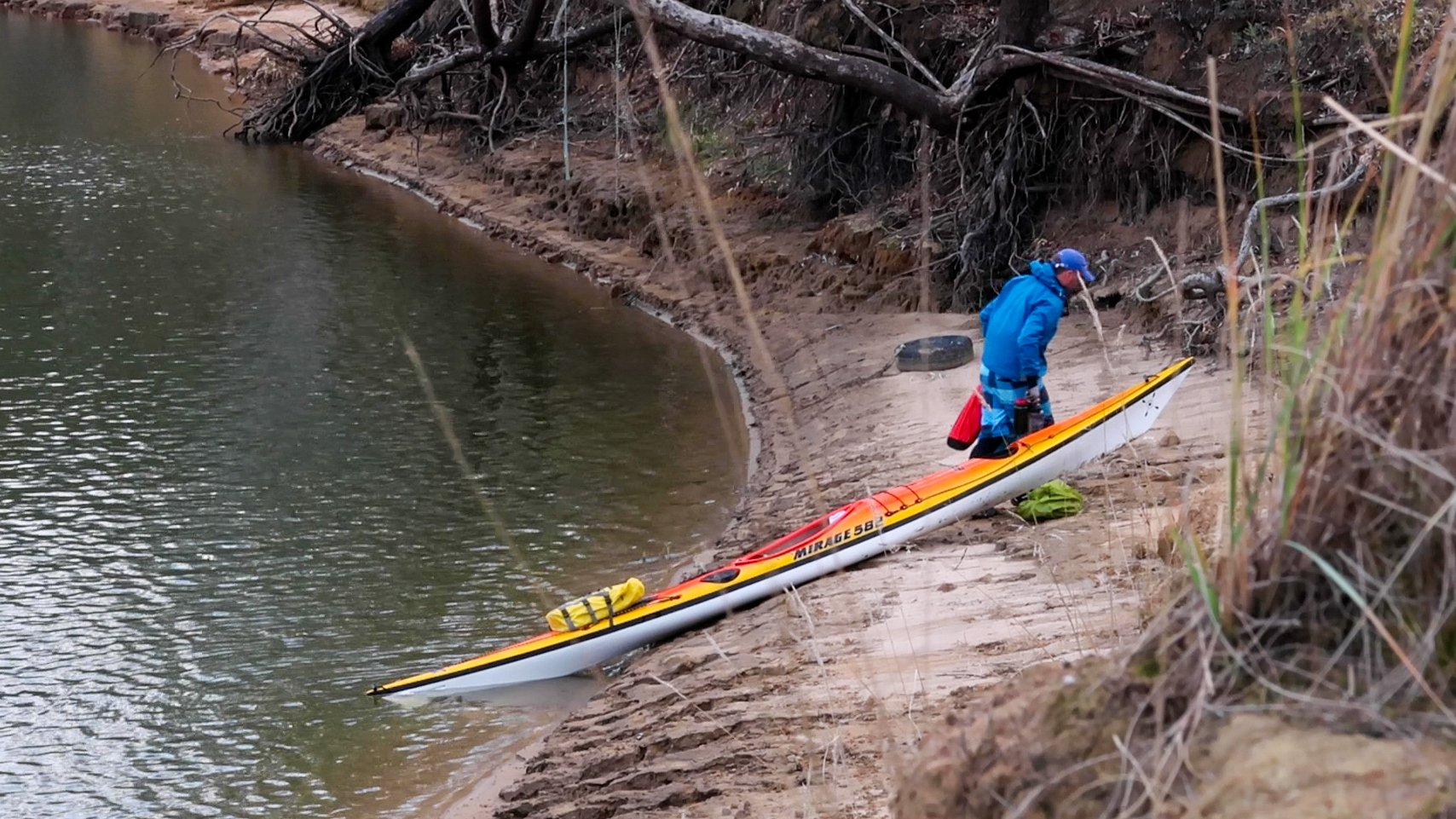
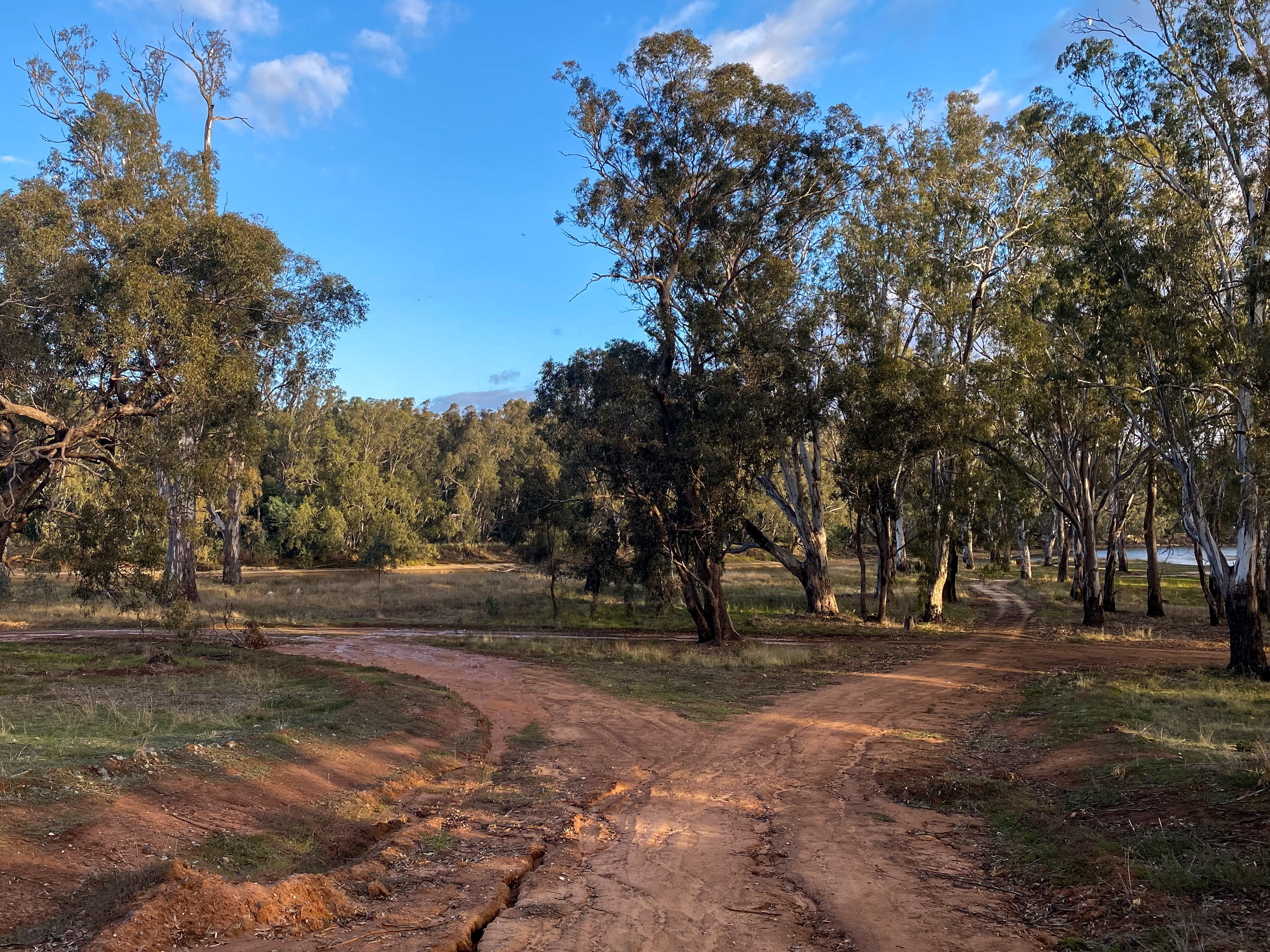
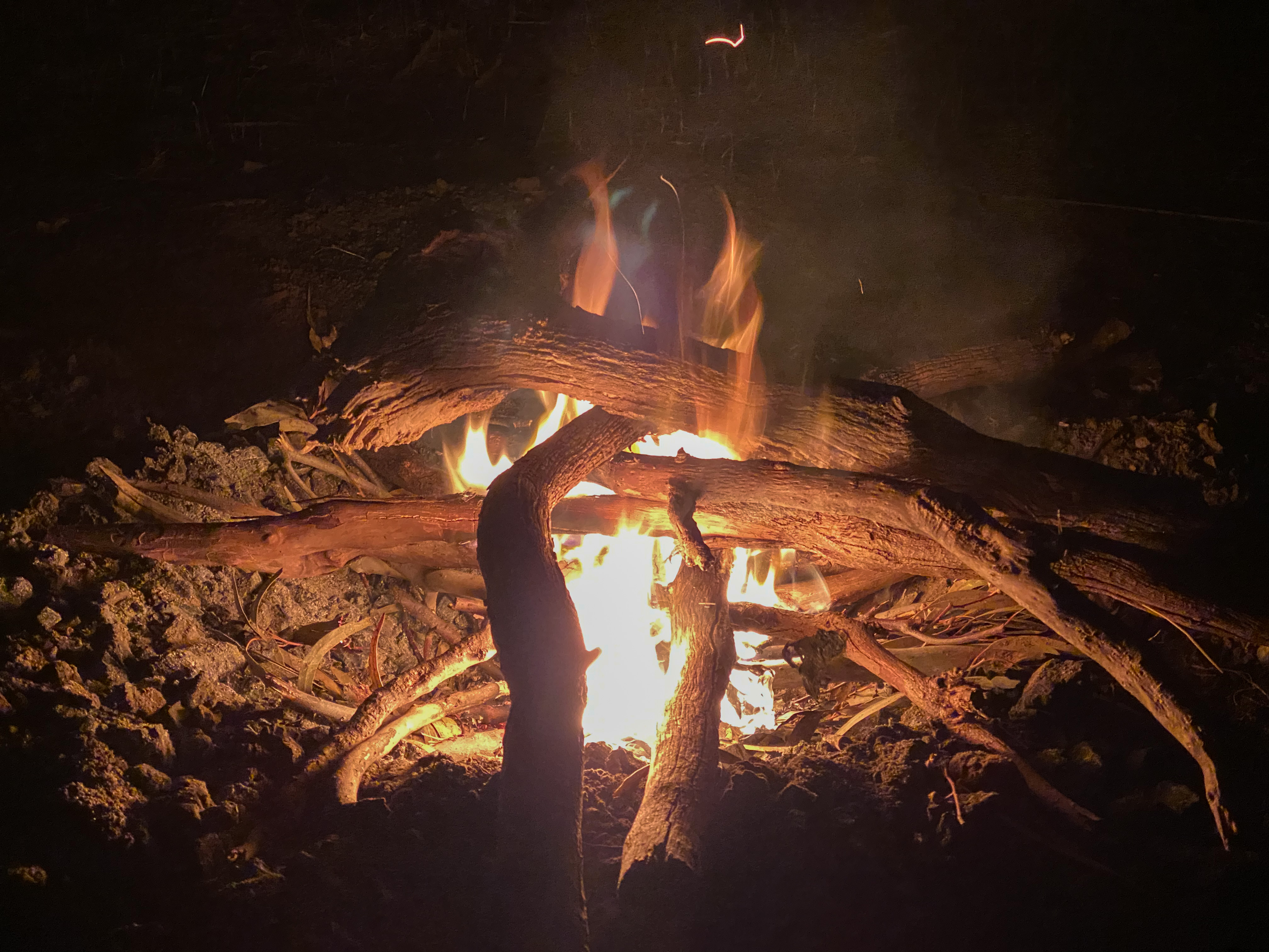
So at about 3.45pm, I rounded the last bend and saw that there was a lower part in the bank that I would be able to get up and I was able to land. The spot ended up being quite a nice little camp site right on the edge of the Murray Valley Regional Park. Someone had even left some firewood so I could have a small fire, to keep warm and to keep the mozzies away, while waiting for my folks to arrive.
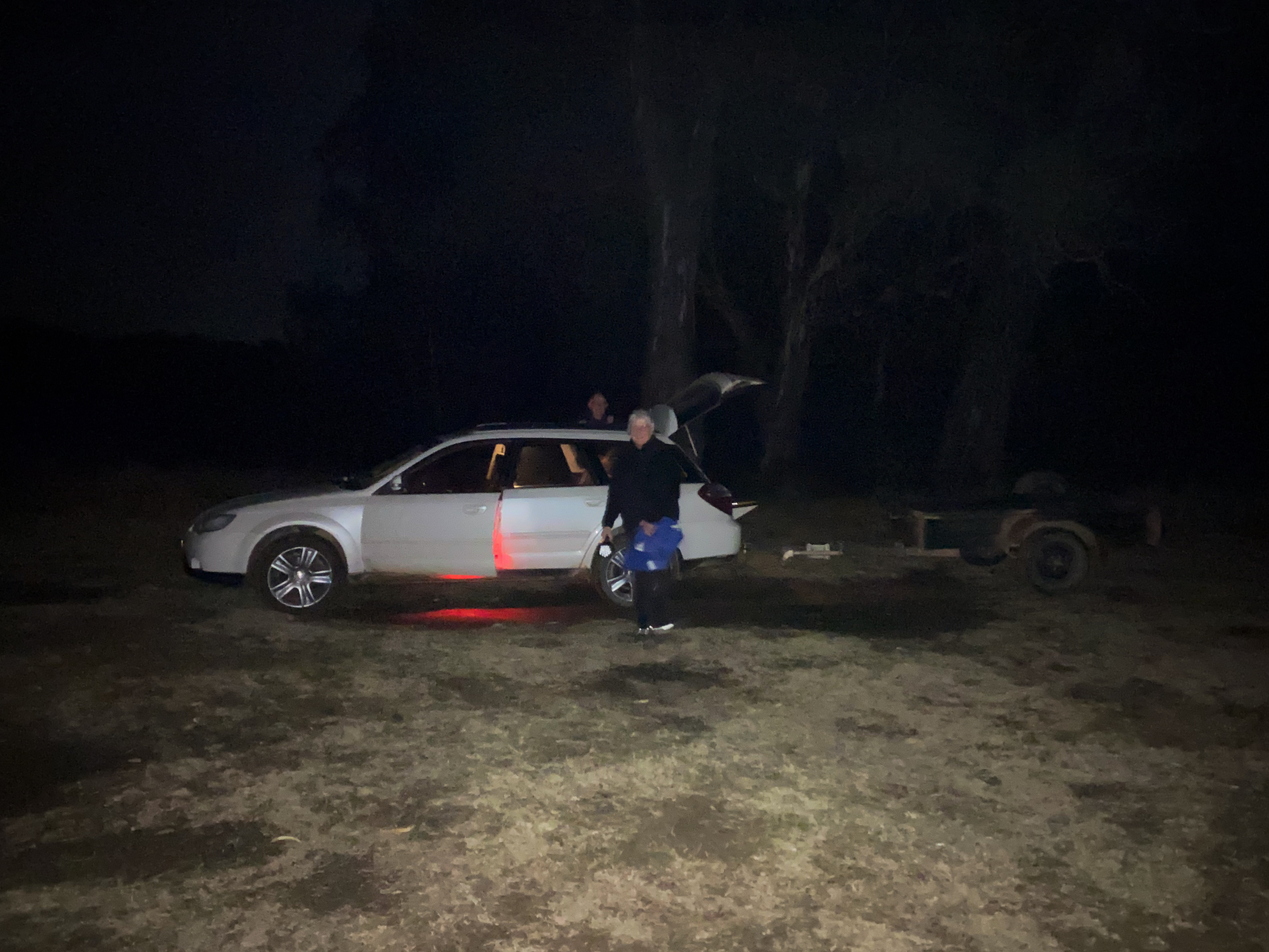
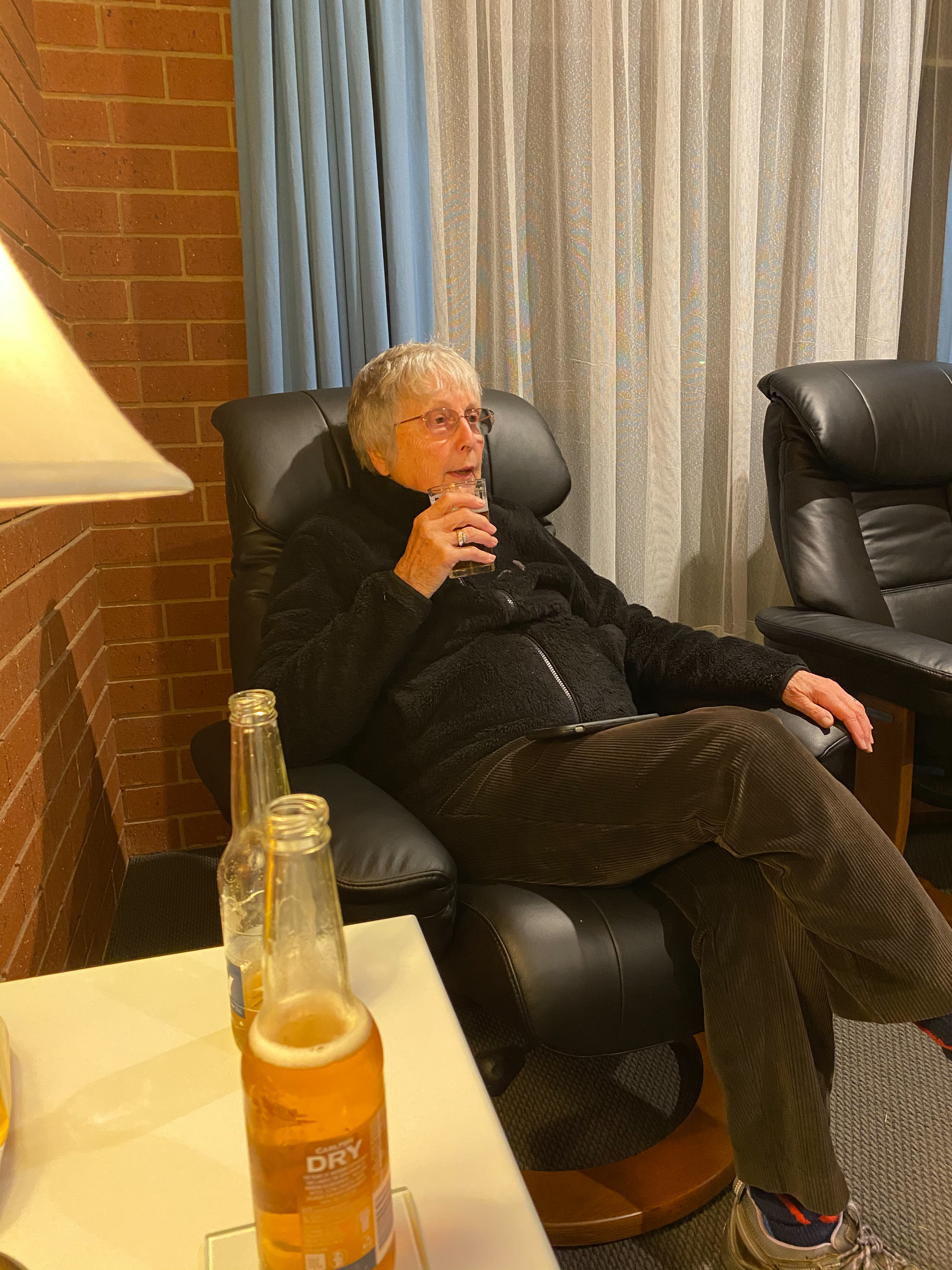
Mum and Dad showed up at around 7.45pm. We packed all the gear into the car and lashed the kayak to the trailer (it sort of fits). We then headed into the nearest (NSW) town called Barooga (which I had never heard of before) and checked into the motel.
It is obviously pretty disappointing that I have to push pause on the trip, but we knew there was the risk it may happen. We have been watching the borders “slam shut” for the last 18 months and even though things looked like they were better, it was always possible it would happen at some point. Fortunately there is no rush and we can just roll with it.
I have had a few suggestions from people about how I can continue in the current scenario, such as technically you can camp below the high water line of the Victoria bank, or just camp on the NSW side, or you can still get food from supermarkets during lockdown. Now that I have had a night to think about it, I wanted to address the reason I have decided not to do these things and I why I am pausing the trip for a week.
Basically I am here to enjoy the river and river life… the whole river. I don’t want to skip visiting the towns, the shops, the bars etc. in Victoria. I was going to be arriving in Echuca later in the week and I did not want to miss all the history and paddle steamers there. Also, I was meeting my family for a few days in Echuca and again this would not work. Plus, technically, if I stepped on to the Victoria bank, I would not be able to get onto the river again because on entering NSW I would have to go into self-quarantine (at home) as I am not a border town resident.
With all of this sort of stuff hanging over the paddle like a big black cloud of ambiguity, it would not be enjoyable. I am not trying to rush to the end of the river, I am trying to experience the river. So the old cliche totally applies here, it is not about the destination, it is about the journey.
I will keep you posted on the plans as they develop.
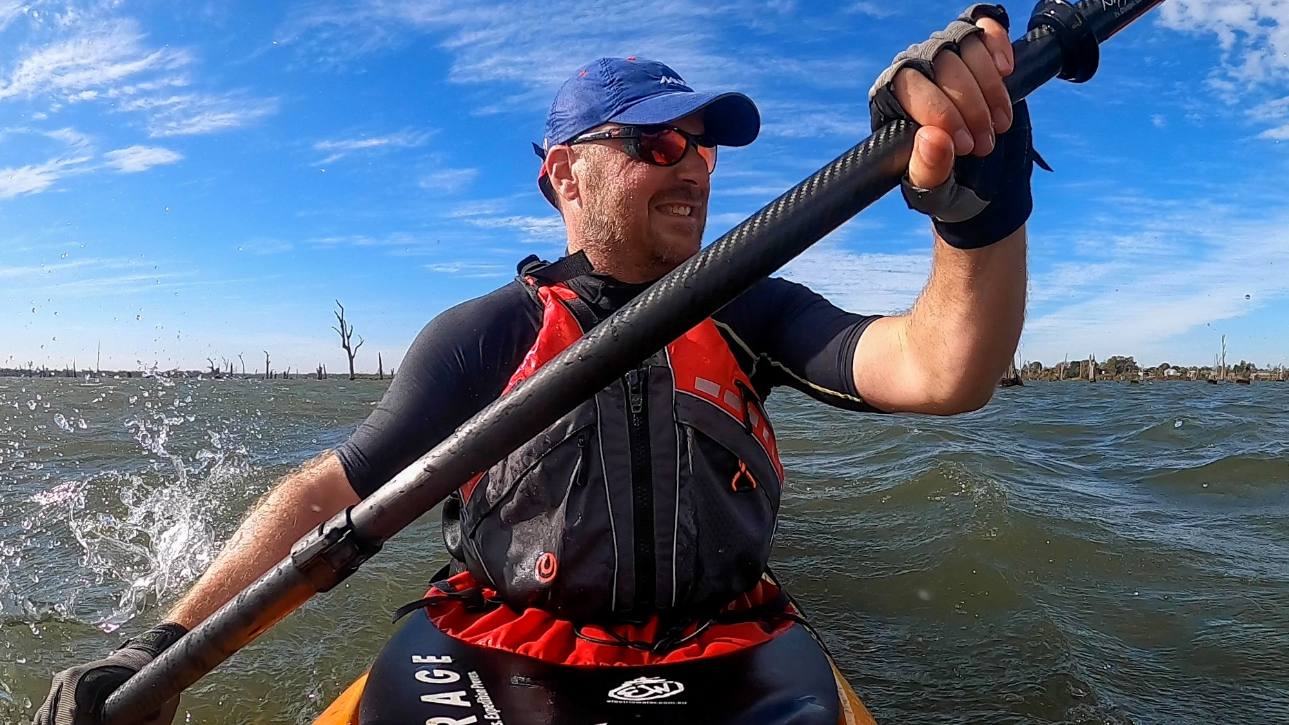
The beginning of the paddle leg of the Summit to Sea journey down the Murray River.
- Day 14 – 56km – Albury to Doolans Bend
- Day 15 – 60km – Doolans Bend to Corowa
- Day 16 – 34km – Corowa to Collendina
- Day 17 – 40km – Collendina to Yarrawonga (7km of which were on foot)
To read the blog posts, go to https://summittosea.live/category/blog/
Additional video content from Paul Baptist.
From: Collendina
To: Yarrawonga
Distance: 37km
Distance to Go: 1987km
This river is truly crazy. Every day has a different adventure and today was epic.
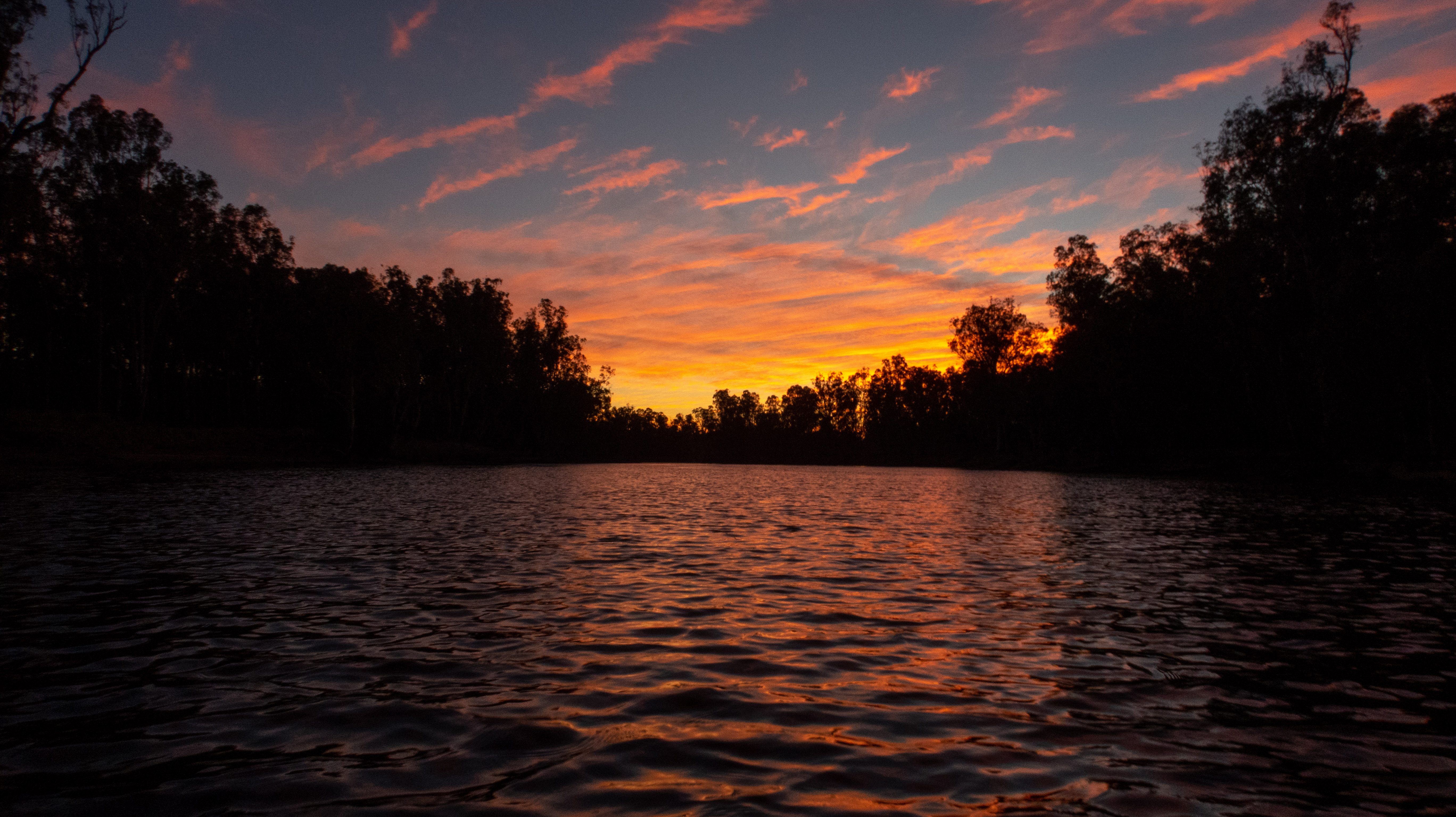
Today was all about crossing Lake Mulwala and getting to Yarrawonga. I managed to get a brief moment of phone reception last night and saw that a front was expected to come through at lunch time, so I decided leave early and get as far across the lake as I could before the front hit. I was so organised that I sitting the bank of the river waiting for it to be light enough to paddle. I was on the water as soon as the sun started to rise and was treated to a beautiful sunrise.
The first few hours of the paddle were lovely. There were lots of birds and the river started to widen as I got closer to Lake Mulwala. The forecasted winds were working in my favour and gave me fair bit of assistance as I paddled.
When I arrived at Bundalong, which is pretty much at the start of the lake system, the wind really started to pick up. While I was having a quick break at the Bundalong boat ramp, one of the local charter fishing operators said “geez… you’ll be able to surf across the lake today mate”. He wasn’t wrong.
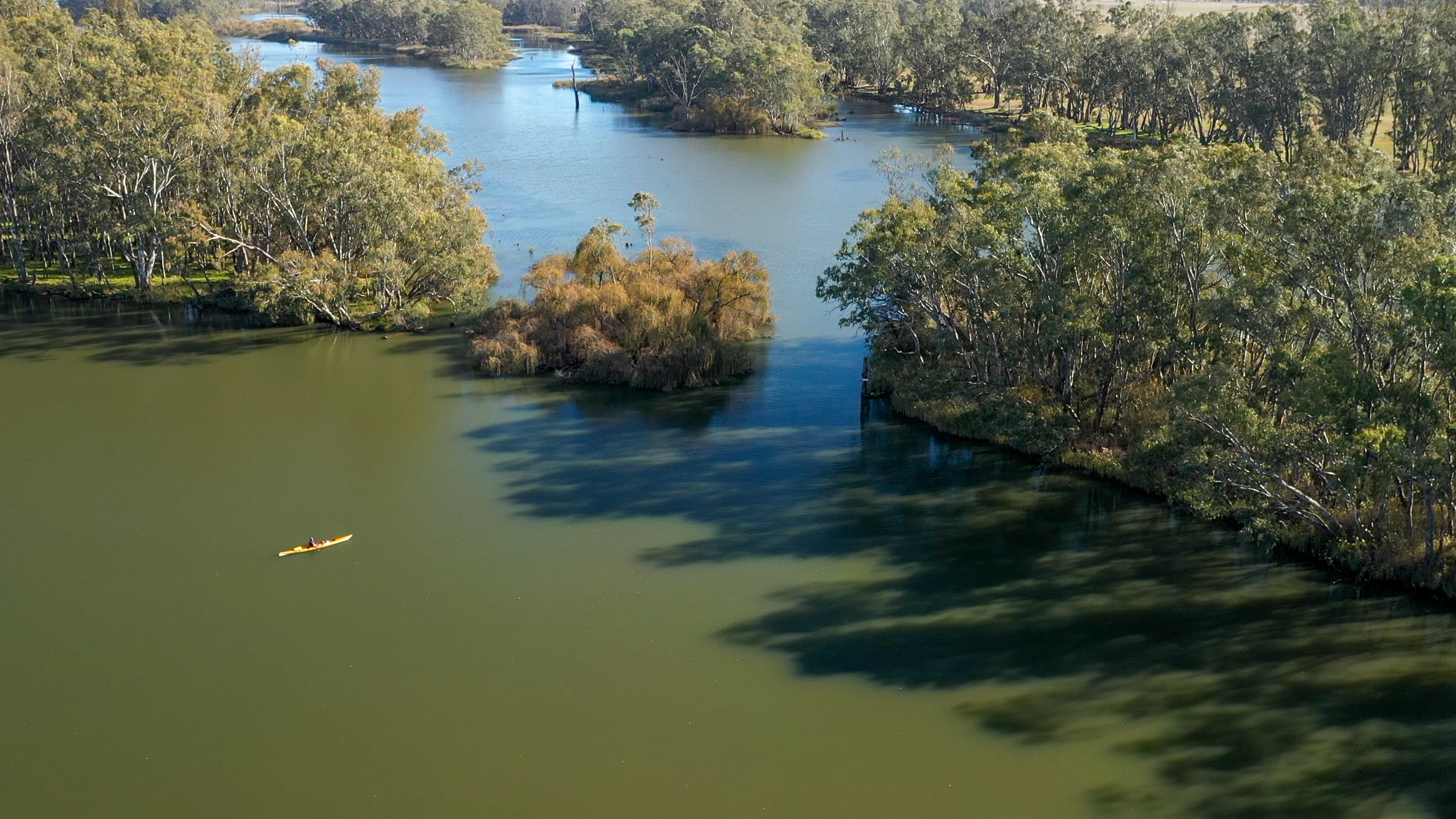
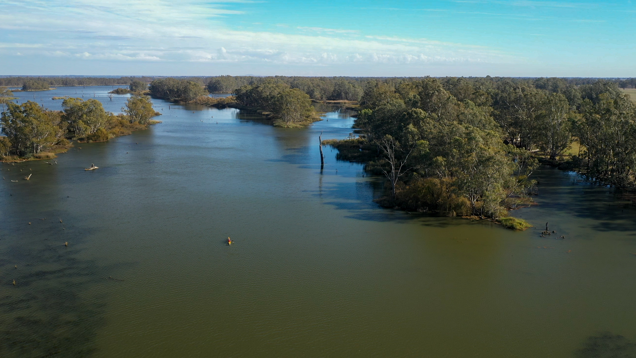
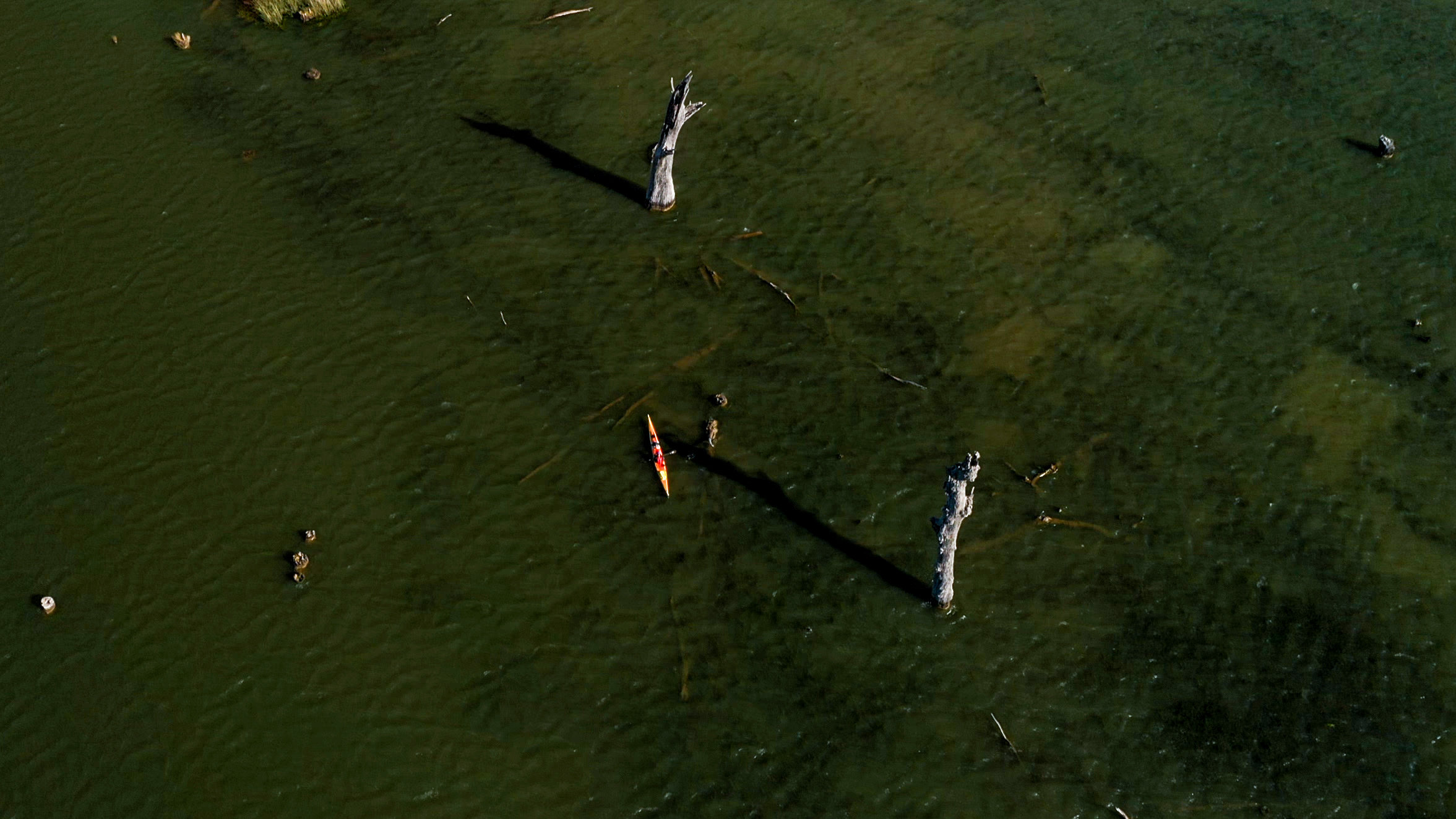
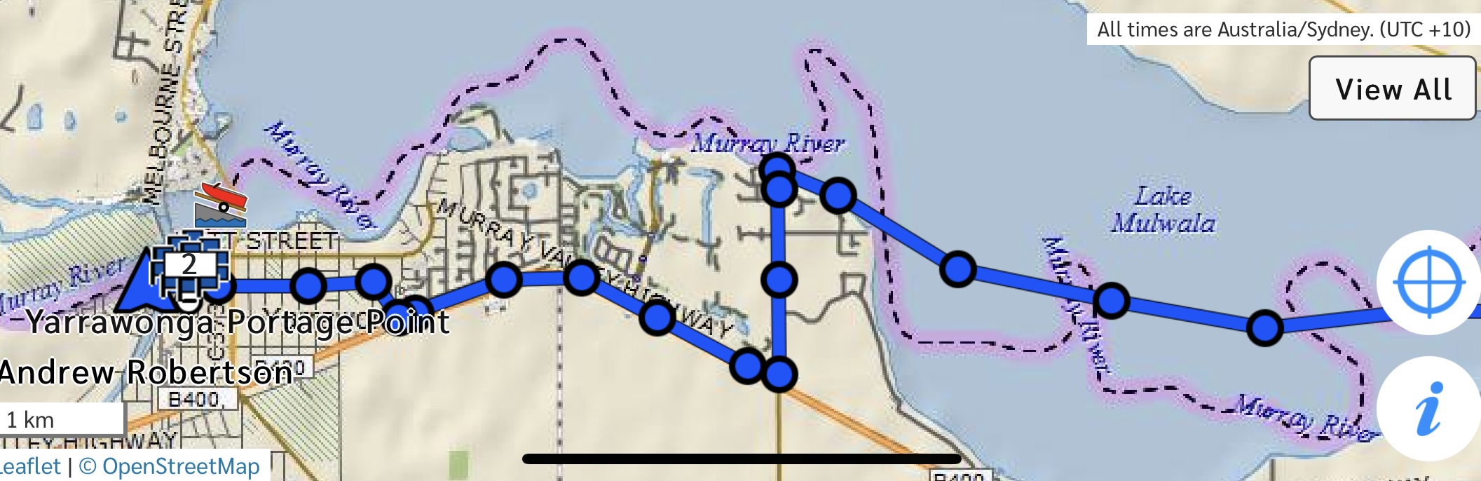
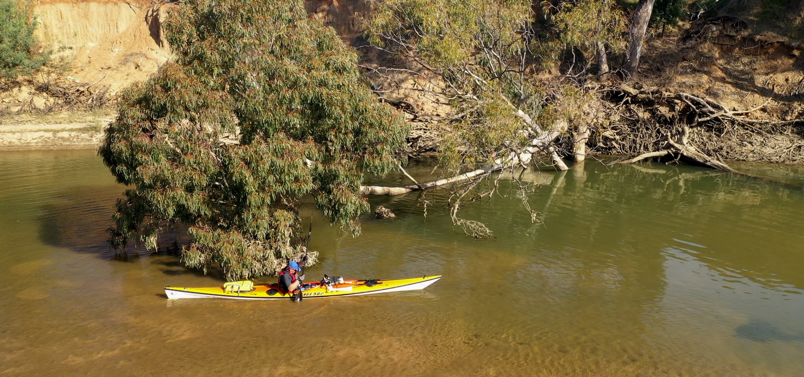
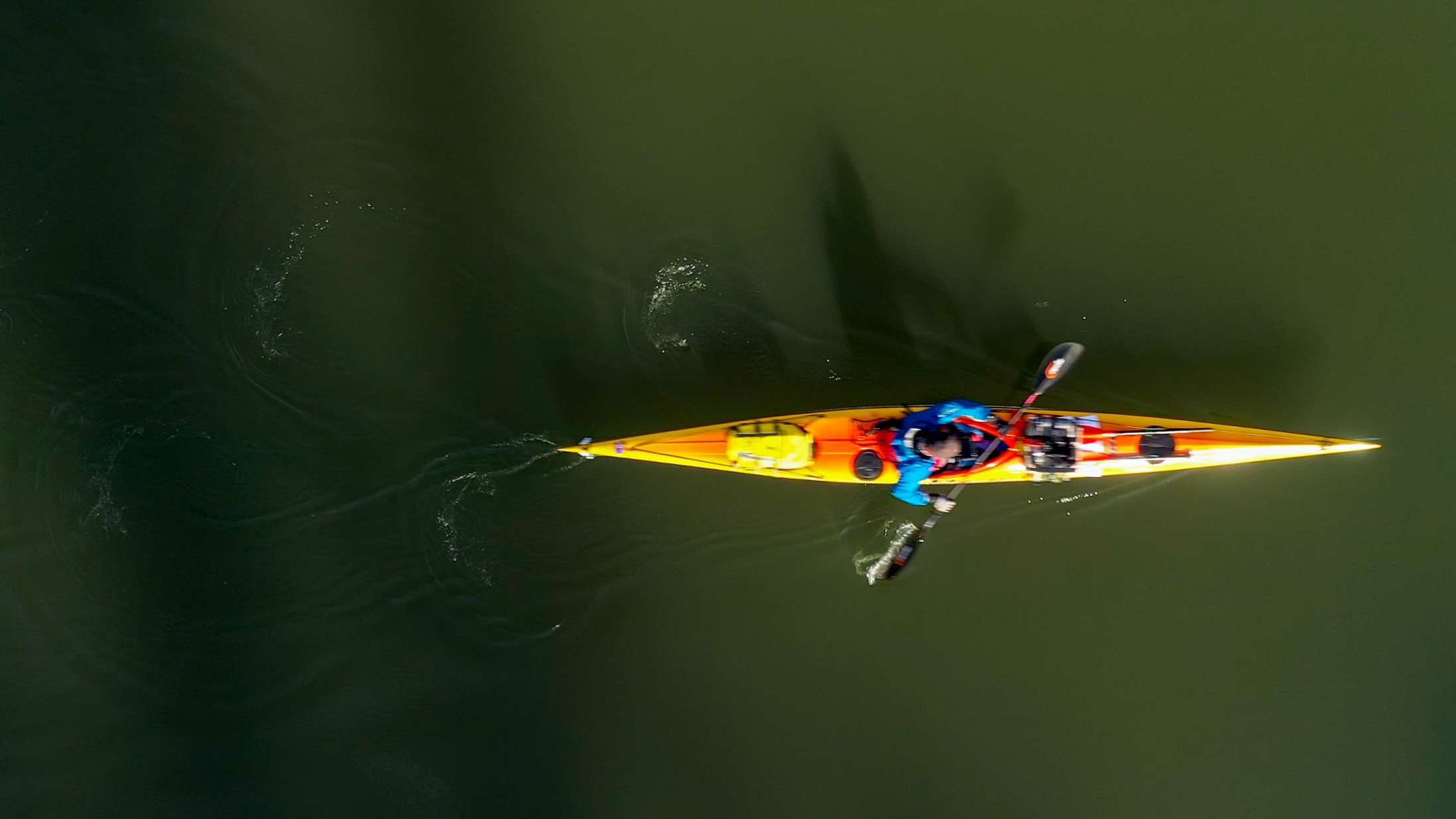
The upstream part of Lake Mulwala is made up of lots of lagoons, creeks and wrong turns. You can just follow the main river path, but there are plenty of short cuts. After yesterday’s wrong turn, I decided to send up the drone and check out the best path. That worked perfectly and I found a very direct path across the lake.
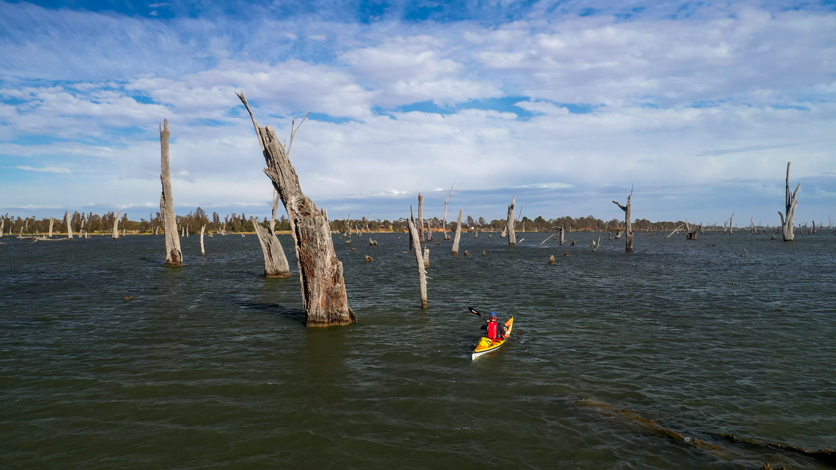
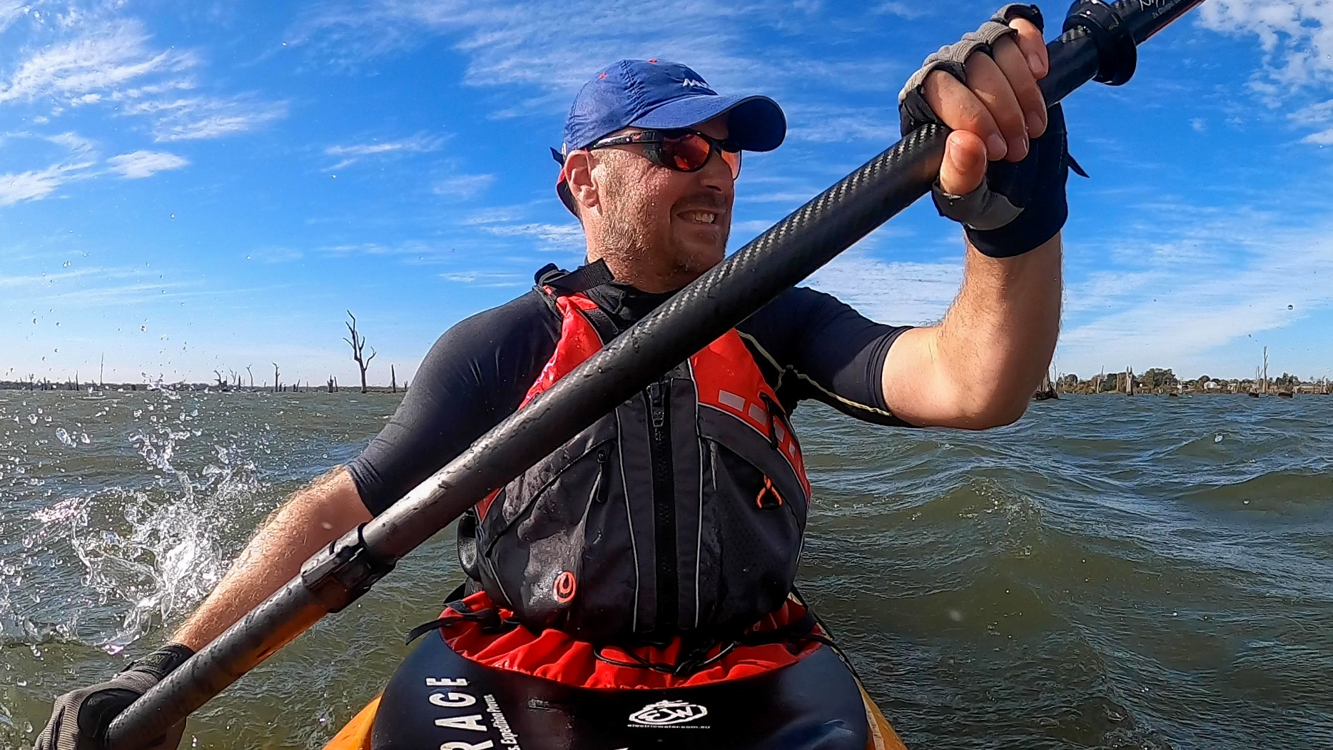
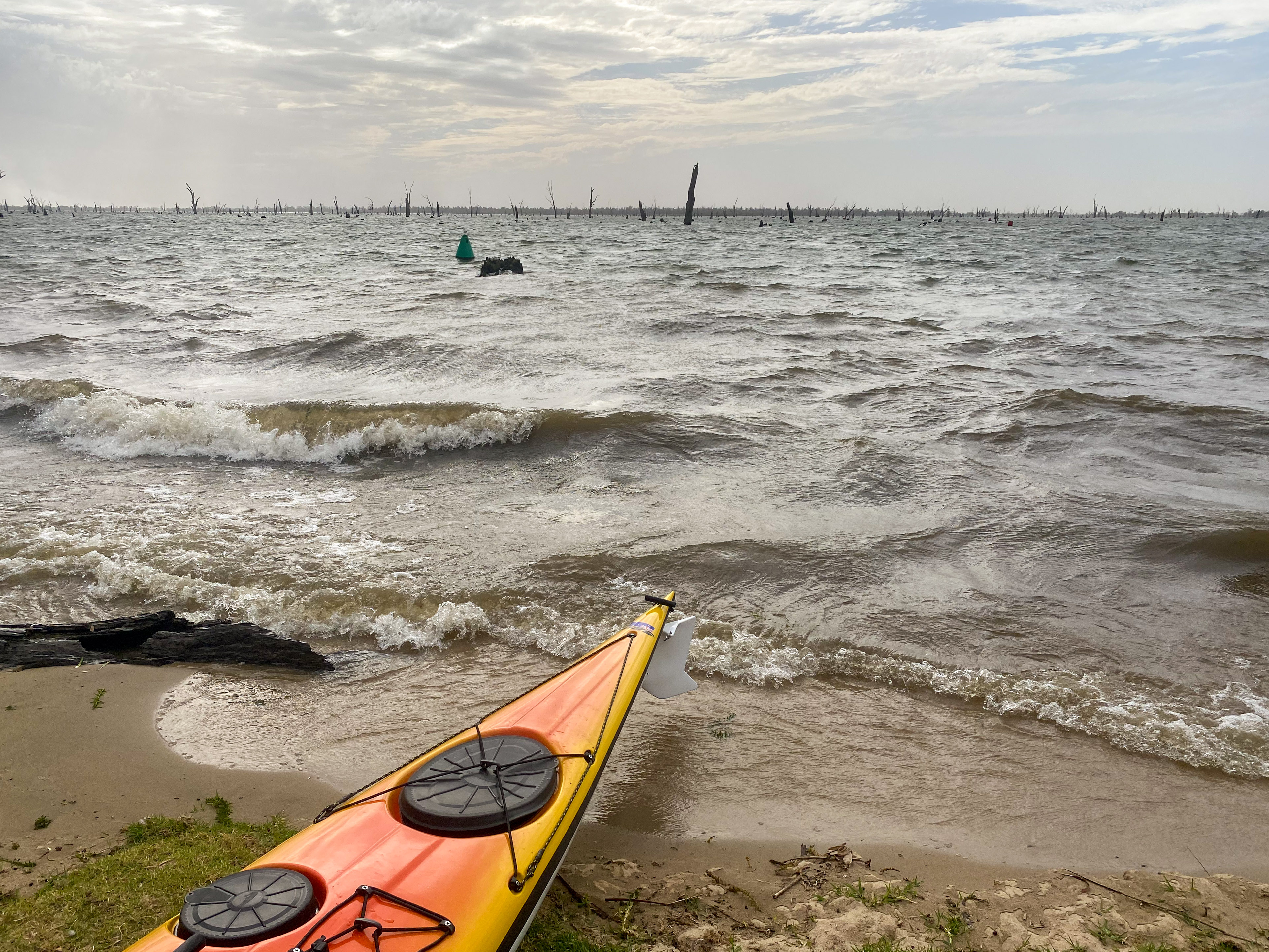
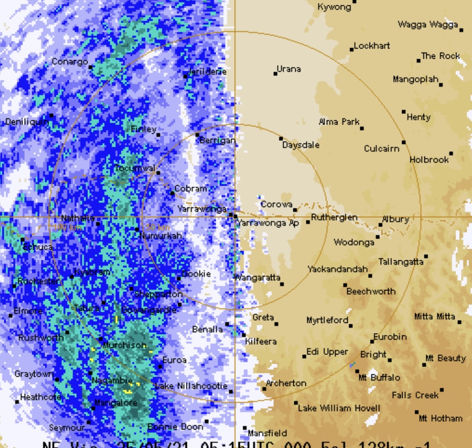
Once I got into the middle of the lake, I could see the frontal system forming on the horizon. The northerly wind started to really pick up and the water became very choppy. Soon the wind was gusting at 48kmh (I checked online afterwards) and the waves were starting to get up to 0.5m with the odd wave getting close to 1m (with white caps). I have paddled this sort of water a lot in Sydney’s harbours, but never with a fully loaded boat and definitely not while trying to also dodge logs and trees. The wind and the waves were coming from the side most of the time, so they were crashing over the deck of my boat and pushing be sideways toward the logs and dead trees. After about 5km (about an hour) of this carnage I decided it was getting a bit wild and I needed to get closer to the shore (about 2km away). I surfed the waves towards the shore and then the wind really picked up. I needed to head north west to get around the curve in the shore, which meant I started heading into the wind which was unpleasant to say the least.
I got to the point were I just needed to get off the water before I was rolled or smashed against something. Unfortunately the river bank was all residential homes that had concrete and brick retaining walls along the bank. The waves were crashing against them and there was no way I could get close to them. After about 20 minutes of fighting the wind I eventually found a small beach, so I charged at it and jumped out of the kayak before it got filled with water by the waves.
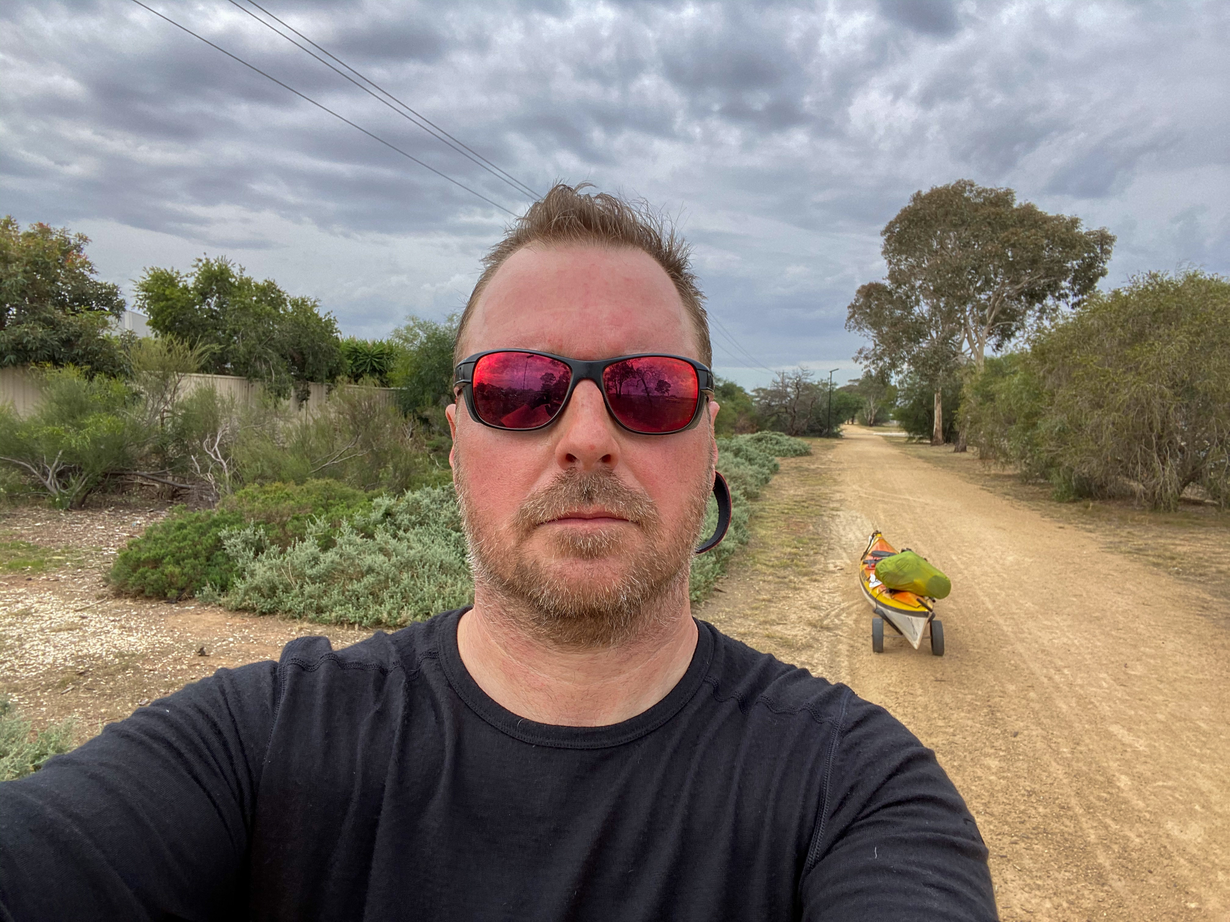
So I was now safe of the land, but I was still 5km (by lake) to where I was staying. So I decided it was time to embark on a massive portage. I repacked the boat into portage mode (all the weight at the front), created a shoulder sling out of some strapping I had and started walking up the road. I then looked at Google Maps and it was going to be a 7km hike. Oh boy.
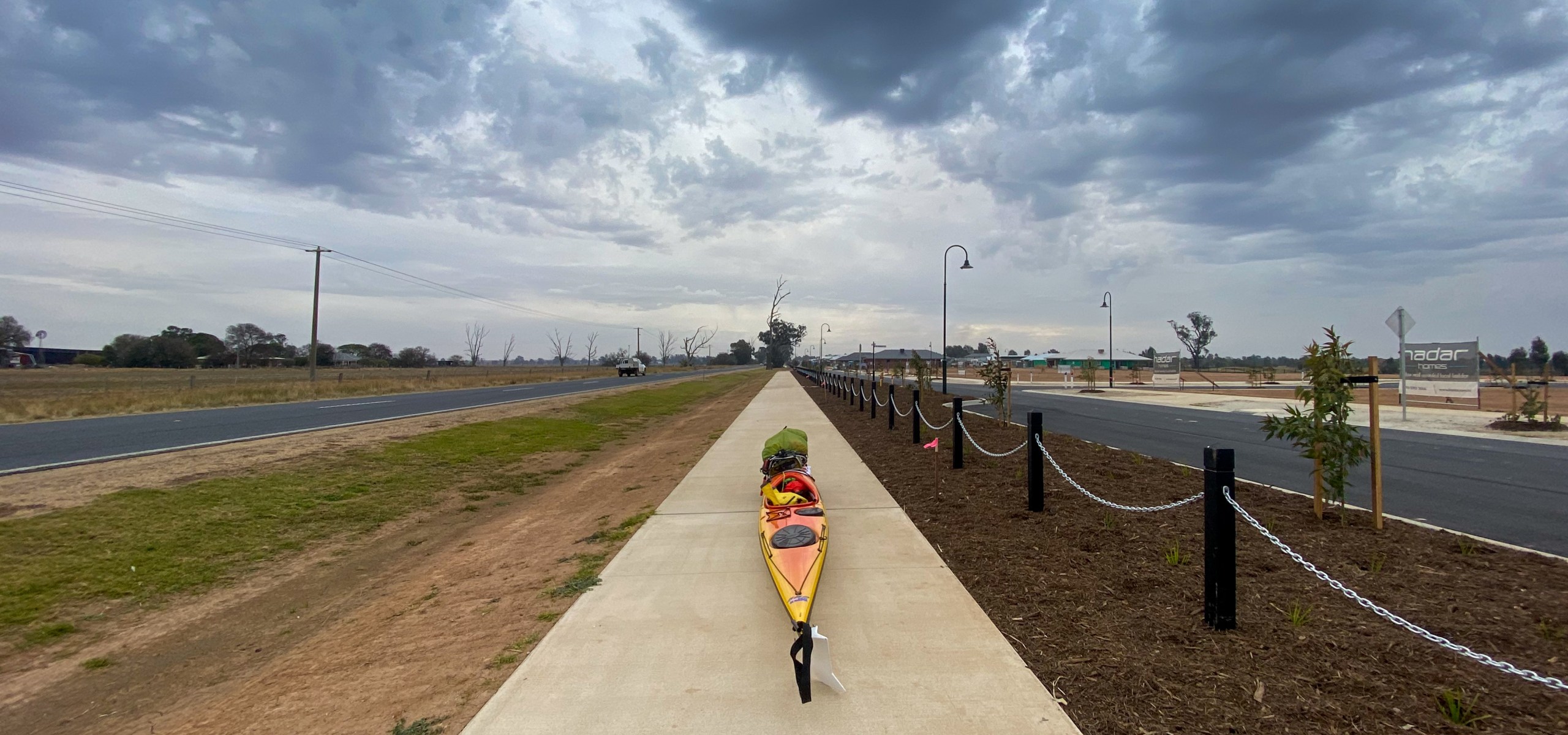
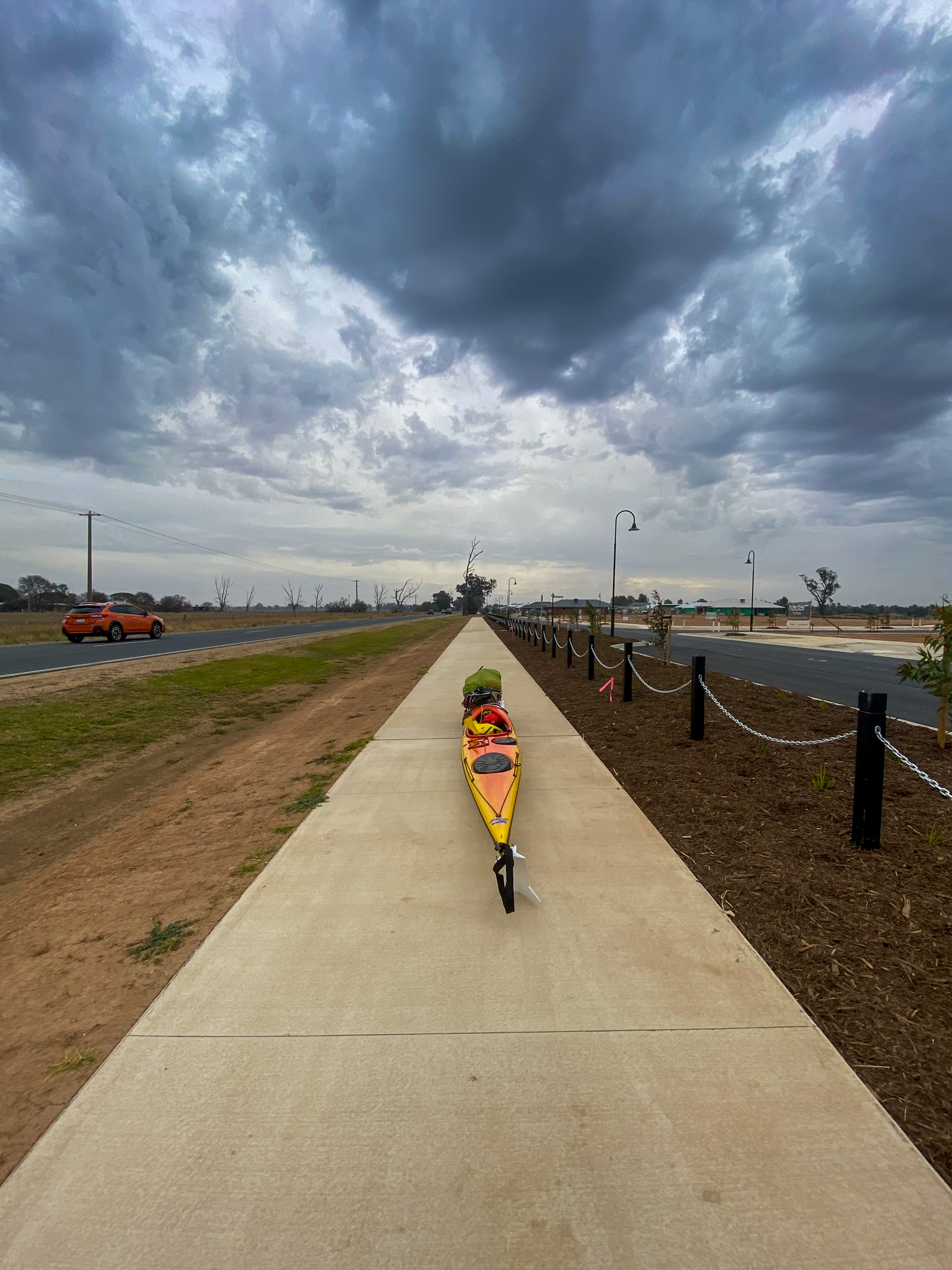
It was brutal. At Kath’s recommendation I took a pre-emptive anti-inflammatory knowing that it would destroy my back walking while pushing the boat. Fortunately, a small bit of relief was that I was walking through a new residential area that was being developed, and they had just finished a new concrete bike path that followed the road. This meant for most of the walk I had a smooth track and was well clear of the traffic on the highway.
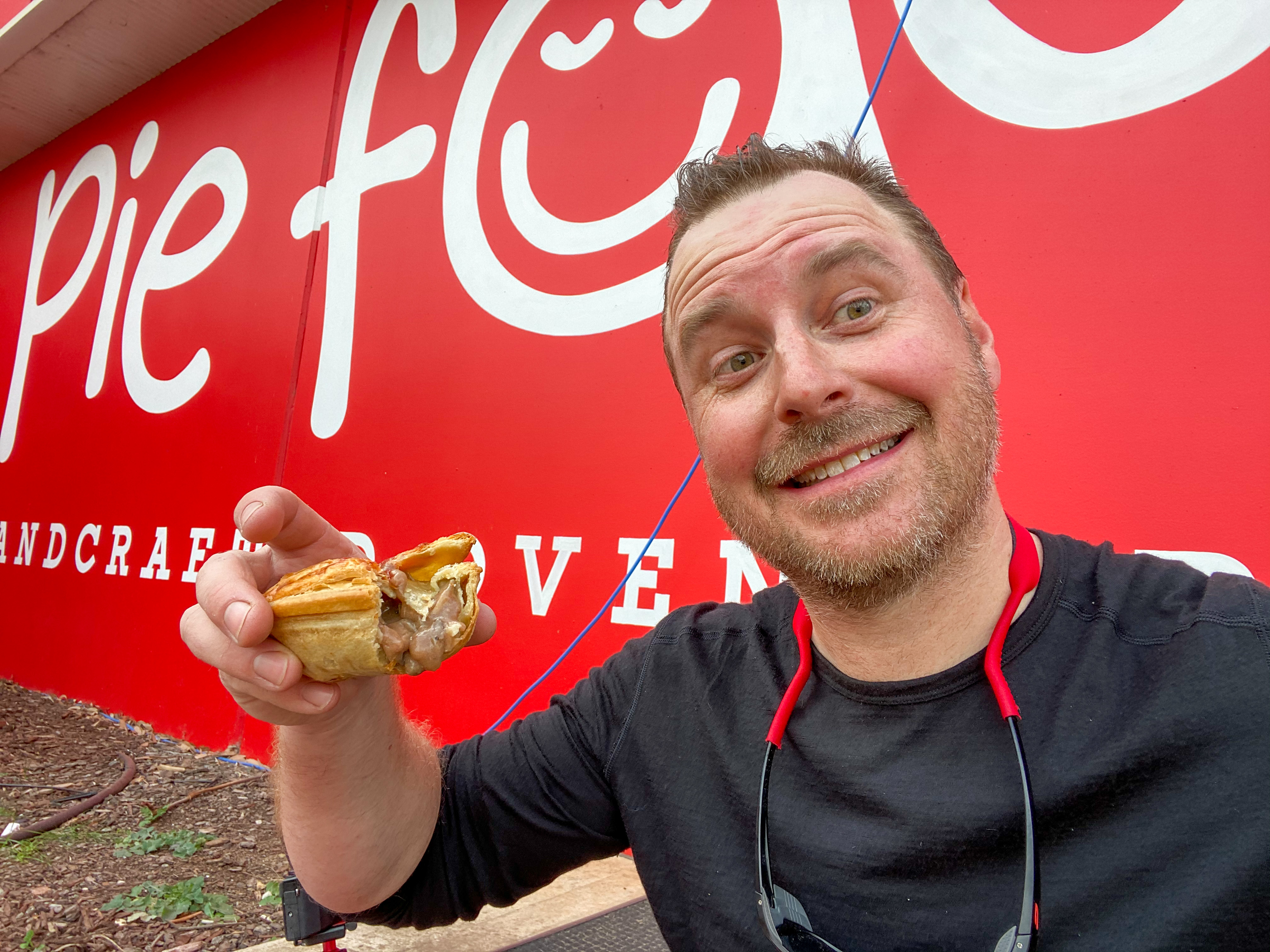
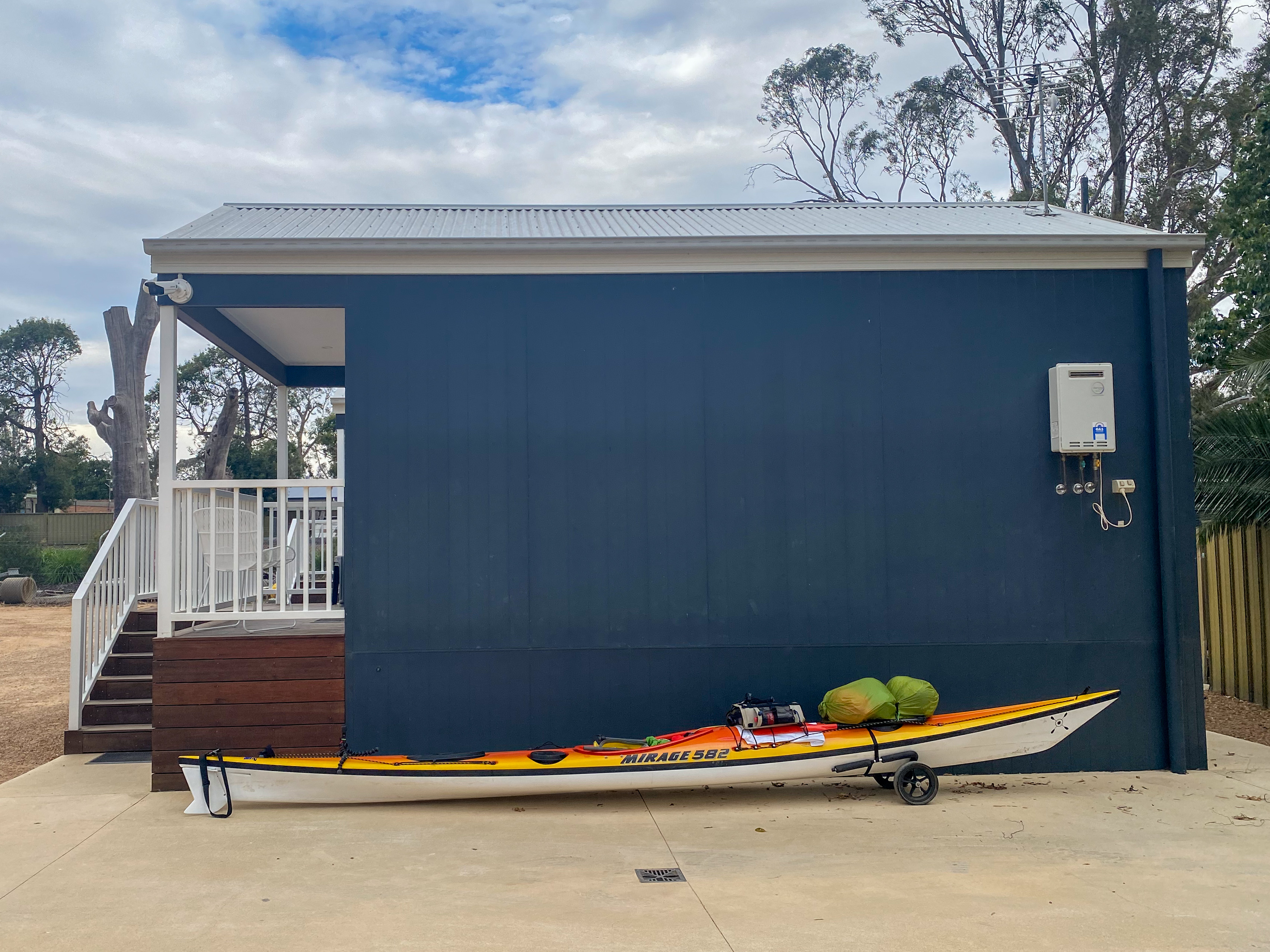
After 5km of walking along the highway I came across a petrol station that had a pie shop, so I was able to sit down and have lunch before continuing. With a new found, pie and donut induced, energy I pushed on through suburban Yarrawonga, across the main street (which attracted a lot of odd looks) and then down to the Yarrawonga Holiday Park. As I checked into my cabin, the skies opened up and the rain associated with the front started to pour. At least I missed out on getting wet… well until I had to walk to the pub for dinner.
I am now absolutely knackered. As a result and to allow for this weather system to move through, I have decided to bring forward my rest day (planned for 2 days time) and spend 2 nights in Yarrawonga. So tomorrow is a day of video editing and recuperating.
From: Corowa
To: Collendina
Distance: 34km
Distance to Go: 2046km
Note: This is posted a day late because I had no internet.
I think I found my mojo today. After a couple of days of being a bit down about the lack of water in the river, I decided this morning to suck it up and just start enjoying it… and I did.
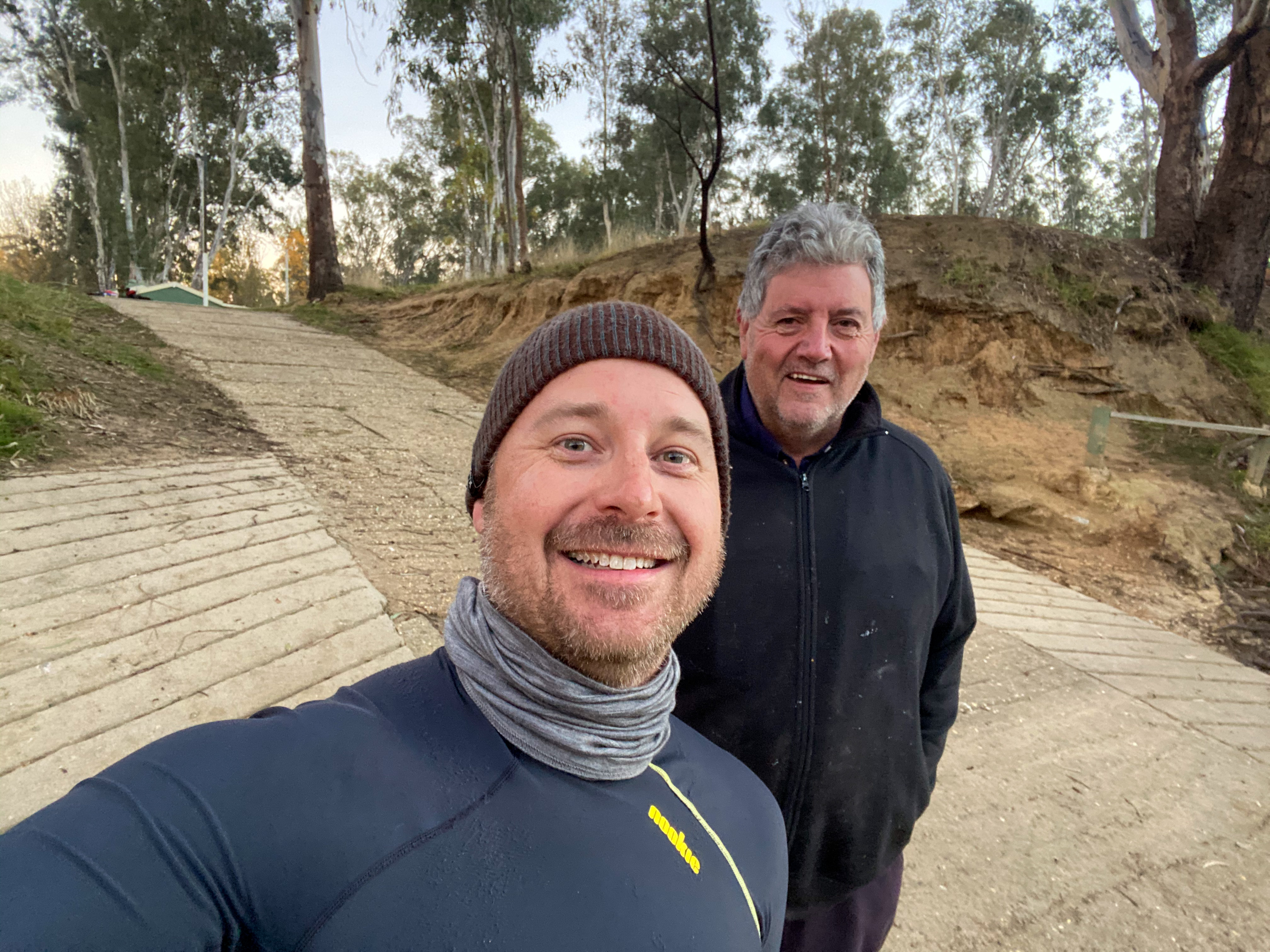
I woke up early (again) and trollied (not a word but I am using it) my gear down to the boat ramp to begin packing the boat. It was a lovely morning with the sun rising over the river. It was only -1 degree but I was running around in just a T-shirt, so I must be getting acclimatised to these cold conditions. As I was organising my gear, Ed (the caravan park owner) came down to check it all out and we had a good chat on the edge of the river. I was procrastinating a bit, so I was happy for the excuse not to start paddling.
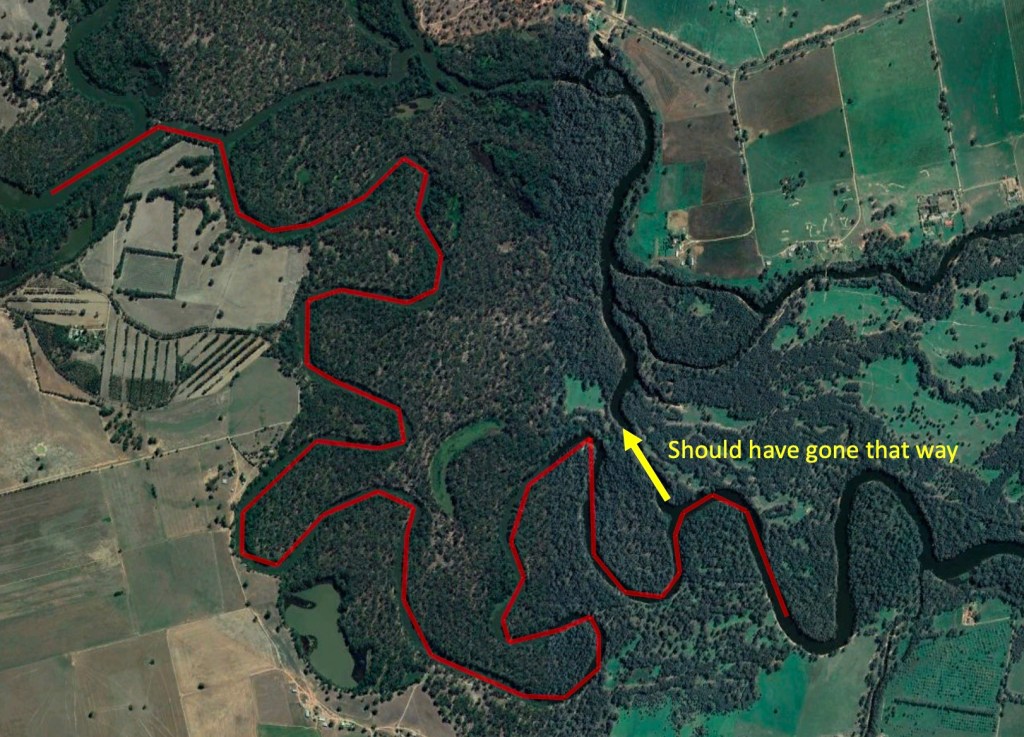
The first hour or so of the paddle was pretty straight forward, but then the river started getting shallower and shallower as the morning progressed. After a few hours I came to a point in the river where it split in two. Half the water went to the North down what looked like a creek full of trees, and the other half went to the South down what appeared to be the main river. On my paper map, the creek to the North barely showed up and Google satellite view did not provide much more helpful information, so I did the logical thing and followed the river as marked on the map.
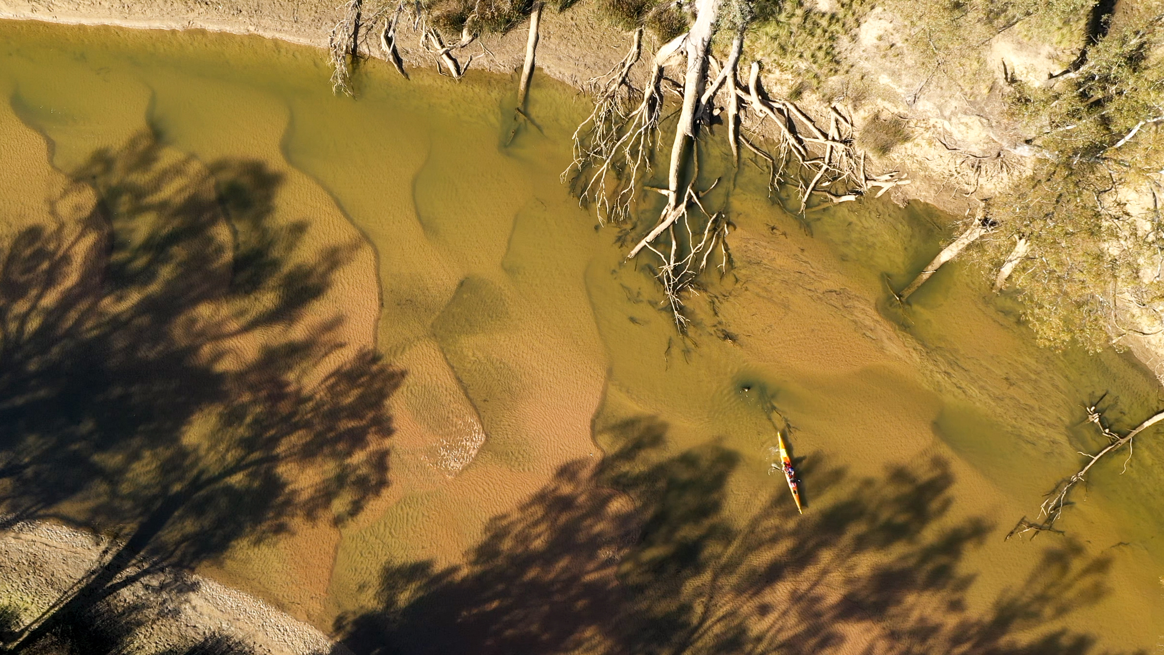
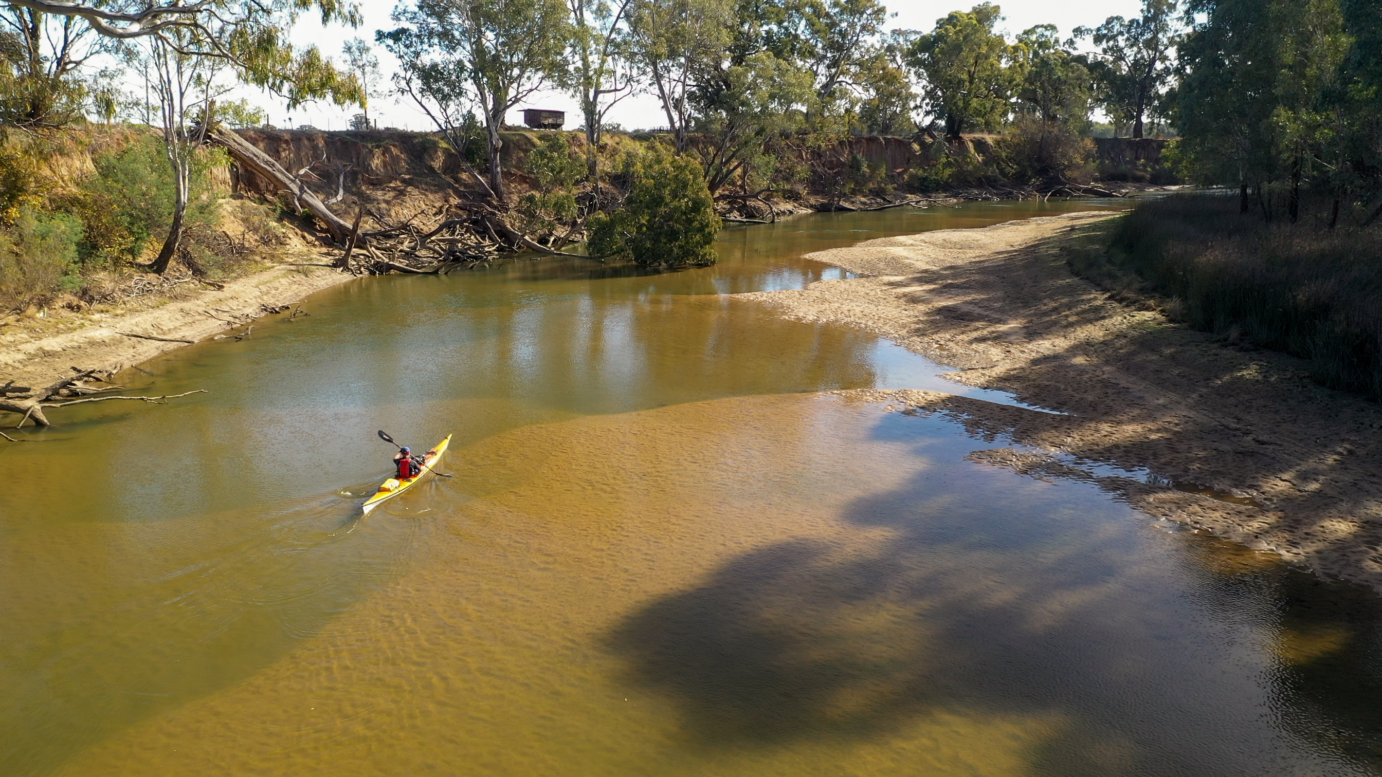
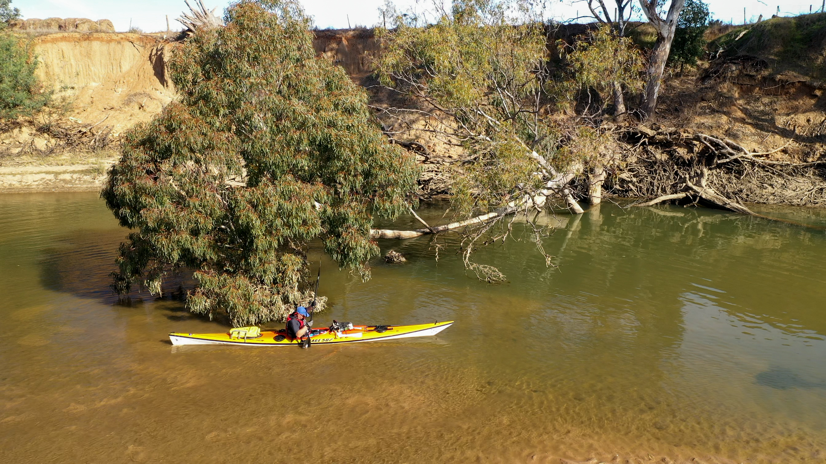
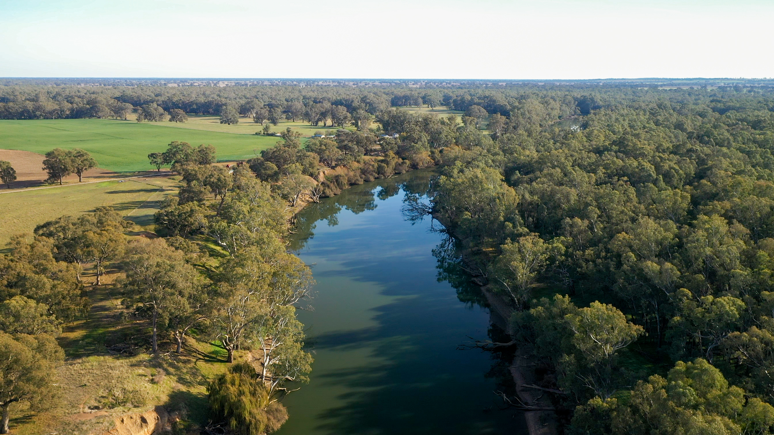
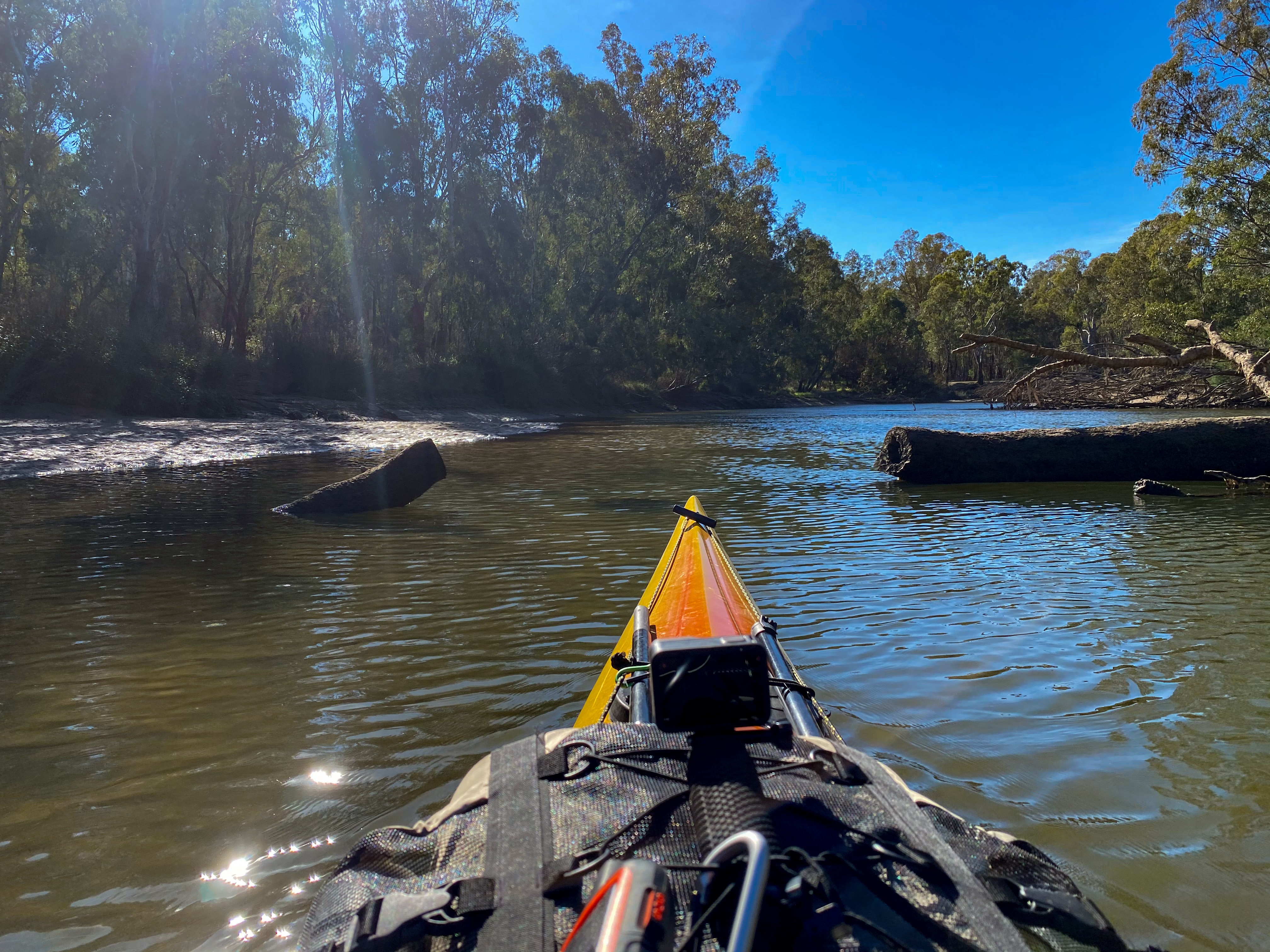
This ended up not being the right decision, because the river basically dried up. Most of the next 10km was less than 30cm deep and in parts the river was less than 5m wide. I spent a lot of the time scraping the bottom of the river with my boat and my paddle was hitting the ground with near every stroke. On numerous occasions I got completely beached and had to punt my way forward with my paddle in the sand. I had to go against my instincts and paddle over logs and under fallen trees. After some time of this, the river eventually joined up with what ended up being the other branch and became a massive wide river again. Crazy.
Around 2pm I decided I had done enough paddling. I knew there was a national park, the Murray Valley Regional Park, around the 35km mark. I got out a couple of times to find a good spot to put up a tent (clear of trees) and eventually found a nice spot on top of a high back with some little log stairs going up to it. The mud beach that I parked the kayak on was nice and solid, so it was the perfect spot. I am noticing (and getting reports form other paddlers) that the banks are getting very muddy and squishy. I experienced that a couple of times today, so my booties and the inside of my kayak are a bit muddy and wet now.
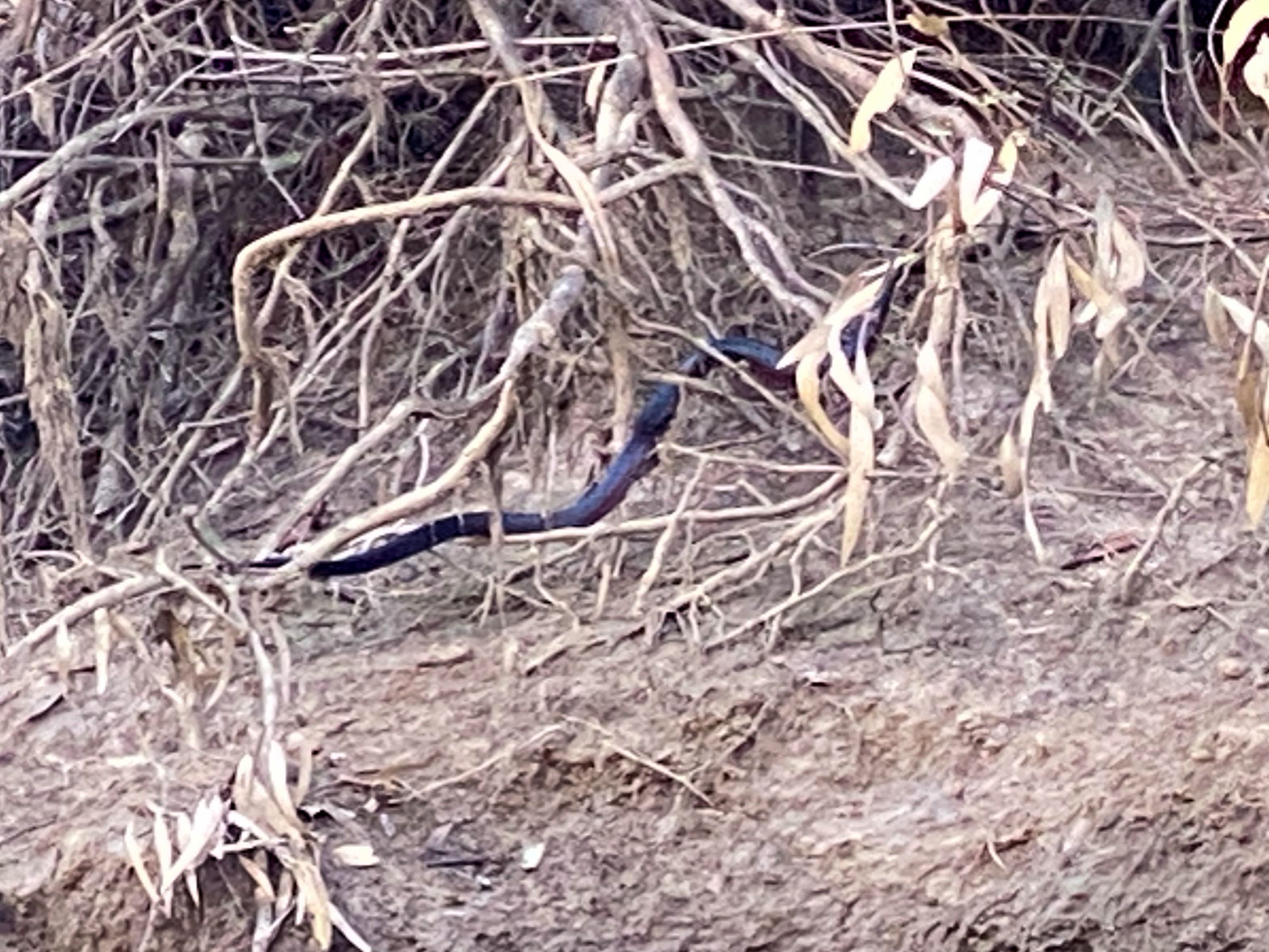
I saw lots of animals today. The first animal was a very curious fox, that trotted down the side of the river next to me. There were the usual cows and plenty of goats watching me go by. I also had my first snake experience around lunch time. A red belly black snake started swimming straight at me, so I had to jam on the brakes and it continued across the river and up onto the bank. There are also lots of kangaroos crashing around in the bush near my campsite.
Today I began the audio book of Sir David Attenborough’s called “A Life on Our Planet”. It is all about the impact humans have had on the environment and animal species. So it was no wonder that I started seeing parallels with what he was talking about and what is going on with the Murray River. It was kind of sad to see the impact humans have on this river by just turning the tap on and off (it is probably a button). Basically they decided they are closing the river for the winter and they just turn it pretty much off.
Tomorrow I have about 35km to get to Yarrawonga. I have a bit of winding down the river to do first and then paddling across Lake Mulwala. Yarrawonga has a weir that you need to walk around, so I have a bit of a portage tomorrow afternoon (about 1.5km through town) to the caravan park which is at the bottom of the weir.
From: Doolans Bend
To: Corowa
Distance: 60km
Distance to Go: 2080km
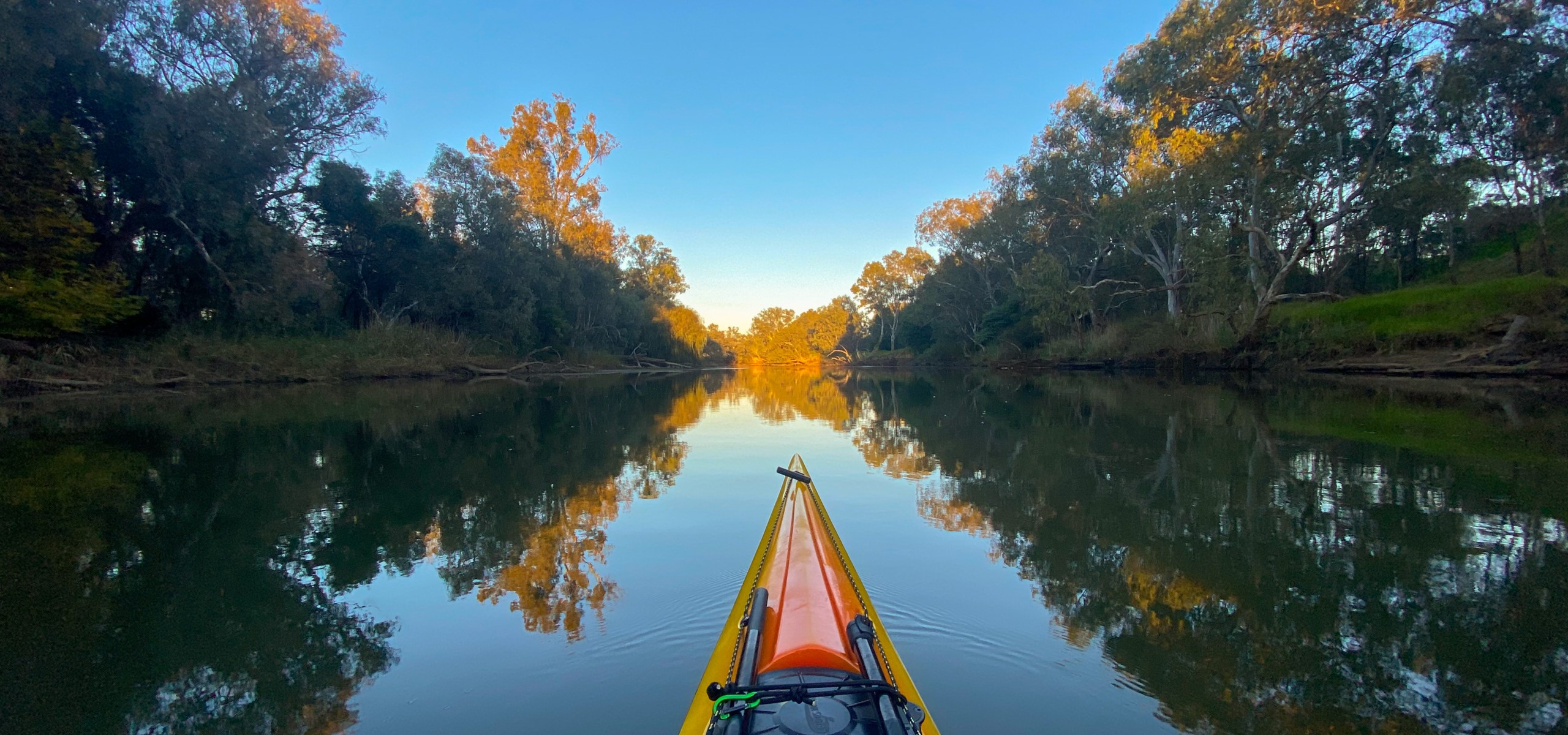
“I haven’t ever seen it this low”… If I hear that from a local again I think I will cry. I think I talked to about 5 people today, all of who were amazed at how low it was. Not only is it incredibly low it is also really slow. So today was another long day of solid paddling.
It was always going to be another epically long day, with 56km to cover in order to get to Corowa. I deliberately got on the water just before sunrise in order to maximise the number hours of daylight I would have. Unfortunately, once I was on the water, it took me a while to get motivated to actually start paddling. However, I put on an audio book and quickly got into “the zone”.
I did soon realise my body was tired and it wasn’t long until my lower back started to ache. By lunch time it was getting really sore and I was doing a lot of squirming in my seat to try to get comfortable. At lunchtime I took an anti-inflammatory and shoved a sponge between my lower back and the back of my seat which seemed to do the trick and my back was much better for the afternoon.
I actually don’t really remember much of the paddle today because I got so engrossed in the book I was listening to. So I will write about that instead. The book was one I had never read, but is apparently a classic, called “My Side of the Mountain” by Jean Craighead George. It was written in the 1950s and is actually aimed at children, but it is a great story and good for adults too. It is about a boy who runs away from home to go and live in the forest in the Catskill Mountains in New York. It is just a nice story of adventure and what it is like to live off the land and survive in the wild. It is a bit like a sanitised version of “Into The Wild” by Jon Krakauer (with a much happier ending). Thanks Paul for recommending this to me the other day.
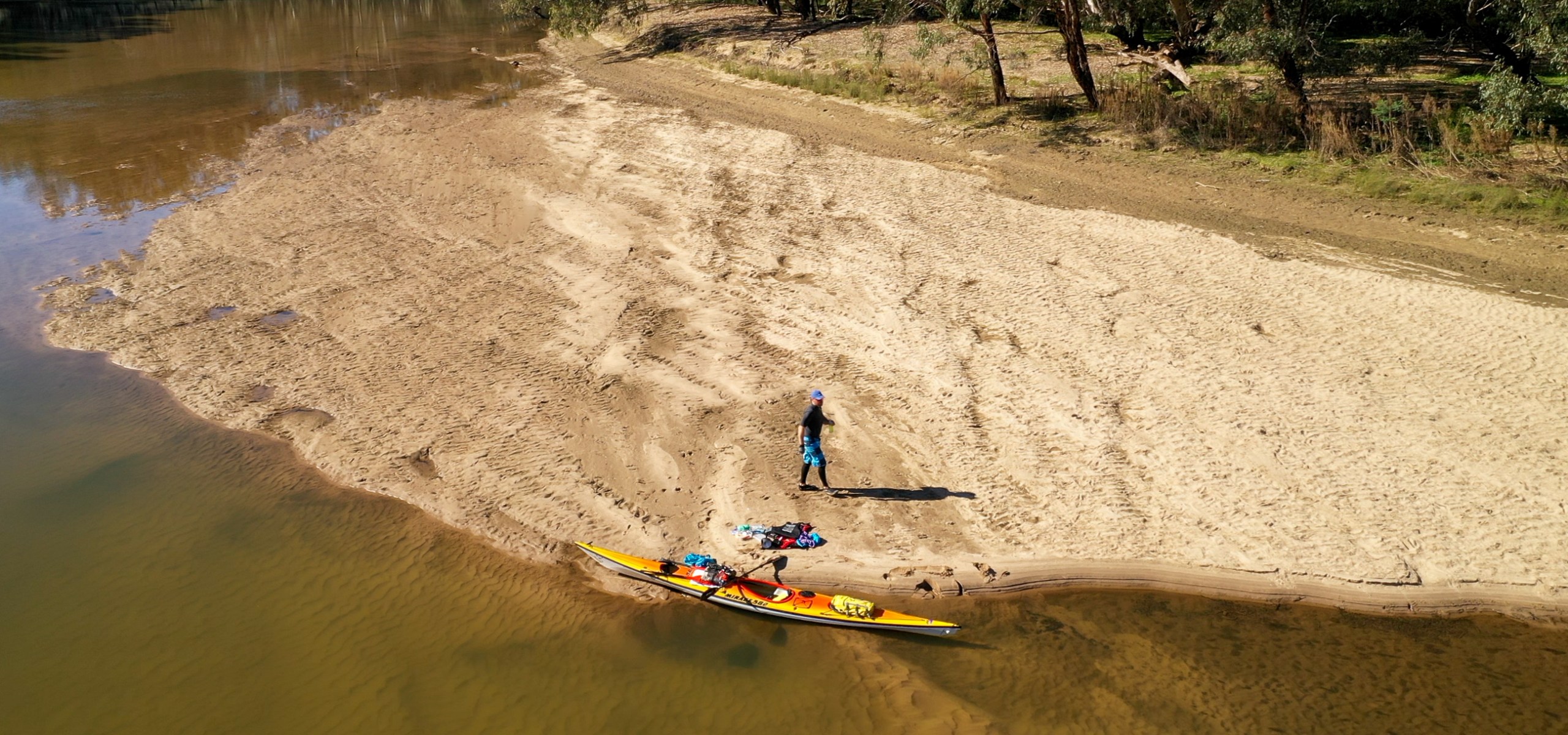
So after 9 hours of listening to my book (and paddling), I eventually arrived in Corowa at around 4pm. I am staying at the Corowa Caravan Park tonight. Unfortunately the boat ramp at the park was about a metre above the waterline, so I had to unpack all the gear and carry the boat out of the water. As I was walking up to reception to check in, Ed, the owner of the park appeared in his car with an empty trailer to give me a ride to the other end of the park. He had done the same for Amy, one of the other paddlers on the Murray, a couple of weeks ago. He was so keen to help, but I had to explain that one of the rules I have set for my journey is that I have to walk (with my kayak) if I am not paddling it.
Speaking of Amy, she took a photo of the boat ramp (with Ed standing on it) when she was here. Here is that photo and what it looks like today. Just a slight difference.
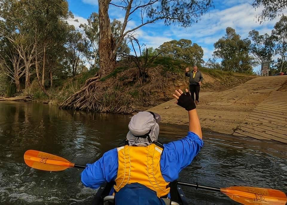
Amy arriving at Corowa 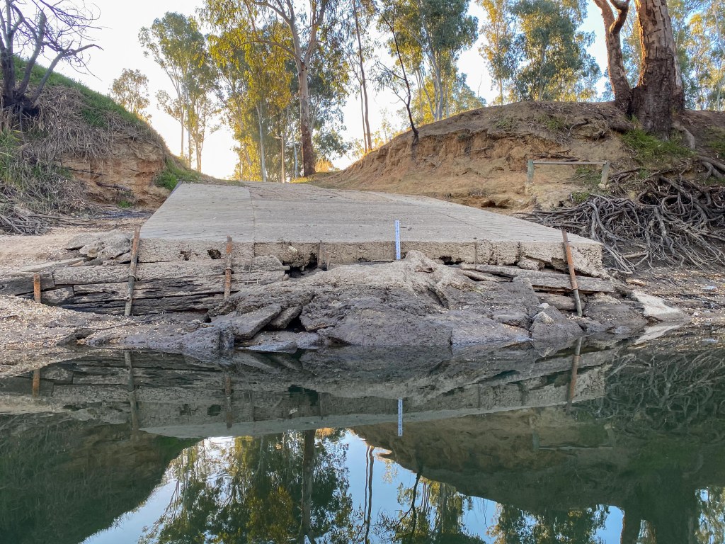
Me arriving at Corowa
You can view Amy’s videos on her YouTube channel “Amy Outdoors”
After checking in and dumping my gear, I walked into town to find that pretty much everything was closed (being a Sunday night in a country town), so I settled for a burger and milkshake at the local take away.
Tomorrow was planned to be another 50+ kilometre day, followed by a 20km day across Lake Mulwala to Yarrawonga the following day. I had structured it this way because I wanted give myself a shorter distance for the lake crossing as it would not have any flow to assist. However, since there is basically no flow on the river now, I am going re-adjust things to make the two days a little bit more even. So I will probably will end up camping somewhere near the Collendina State Forest tomorrow night.


From: Albury
To: Doolans Bend
Distance: 56km
Distance to Go: 2140km
Yesterday was a rest day, so I was able to spend two nights in a cheap motel in Albury. It was nice to have a day to finish the video (see previous post), sort out some gear and buy food. Around lunch time my friend Paul showed up to keep me company. He kindly took the day off from work and drove up from Melbourne (4 hours) to hang out and drink beer with me. He then joined me for the walk down to the river this morning and waved me off as I started the next leg of this journey.
The river is definitely lower. Apparently the irrigation season finished a few days ago and they are letting out a lot less water from the Hume Dam. For most of the paddle today I could see the bottom of the river. On three occasions I ended up getting stuck on the bottom. The noise of river rocks scraping across the bottom of the kevlar boat is a horrible sound but fortunately no damage was done.
Today’s paddle was fairly uneventful. Basically it was one of those days (which I am sure I will get a few) where I put my headphones, put on an audiobook and just paddle. The weather was fantastic, with barely any wind and it got up to about 20 degrees. The scenery was very pretty, but it quickly all started to be very much the same (trees, cows, ducks and logs). So there wasn’t much opportunity or reason to stop and film things.
I was a little bit worried about the distances over the next week, because I have three 50+ kilometre days in a row. With the water so low I was concerned I would simply not have enough hours of sunlight to make my planned campsites. Today I was averaging just under 8kmh but that required solid paddling. I ended up being on the water for about 8 hours and managed to do the 56km to my planned campsite at Doolans Bend Reserve.
Apparently it is Saturday today (I have lost track of the days) so the Doolans Bend campground is very busy with lots of caravans and clusters of tents. I did managed to find a small spot in between a couple of caravans.
While I was setting up my tent, I ended up chatting to the lady from one of the vans. She kindly offered me the use of their toilet and invited me to have pumpkin risotto for dinner. I would have accepted but I had the makings of beef tacos for dinner and the meat would not keep another day. In the end the tacos where a bit of a dud meal (too messy for camp food) but I am so tired after a long day of paddling I don’t think I would last until they were going to have dinner.
Tomorrow I have another 56km day. So I will be leaving early (before sunrise) and pushing pretty hard to make it to Corowa tomorrow night. I am staying at the caravan park, so that makes it a bit easier because I won’t need to allow for time to find a campsite and setup things before the sunsets.
Note: I apologise for my spelling today. I am very tired and not really in the mood to write..


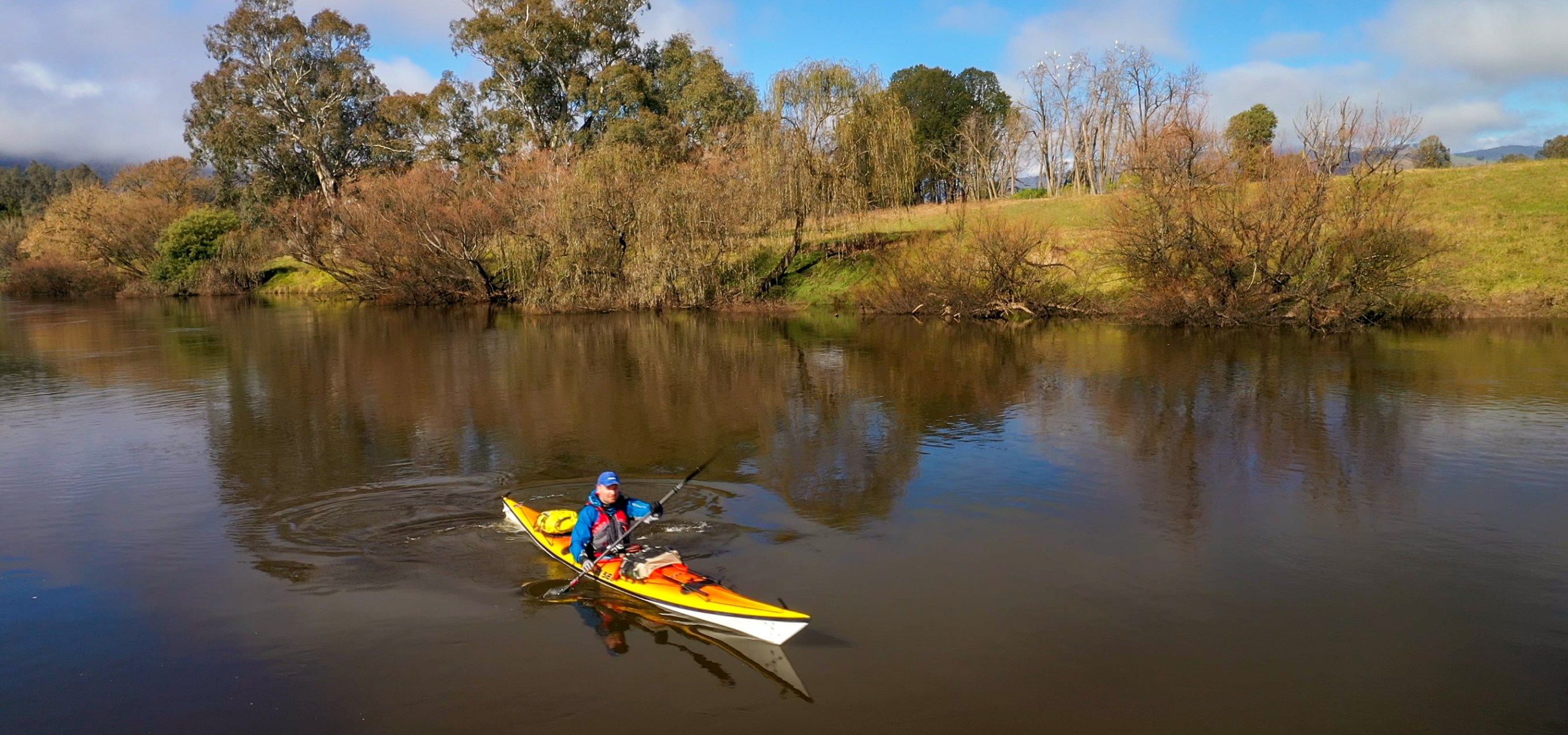
The beginning of the paddle leg of the Summit to Sea journey down the Murray River.
- Day 6 – 26km – Biggara to Bringenbrong Bridge
- Day 8 – 49km – Bringenbrong Bridge to Clarke Lagoon
- Day 9 – 33km – Clarke Lagoon to Jingellic Pub
- Day 10 – 63km – Jingellic Pub to Thologolong
- Day 11 – 40km – Thologolong to Hume Weir
- Day 12 – 29km – Hume Weir to Albury
Additional video content from my wife, Kathryn Soddy.
From: Hume Weir
To: Albury
Distance: 29km
Distance to Go: 2196km
Well I have finished the first leg of the kayaking part of the journey. I have made it to Albury and I am now enjoying a rest day and half.
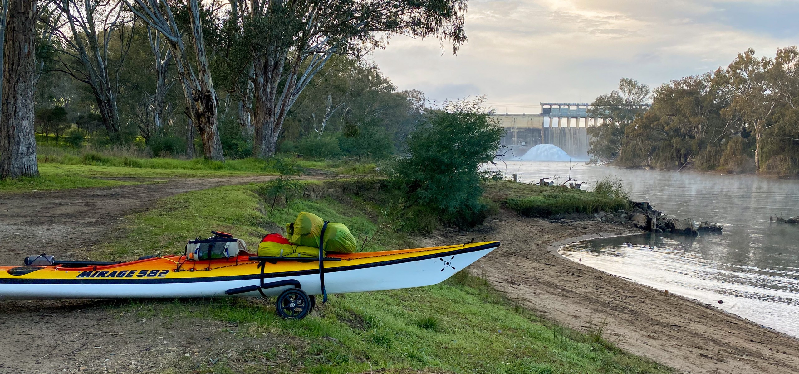
I woke up early (again) and enjoyed a slow breakfast and coffee while watching the sunrise over Lake Hume. I then packed up the gear, attached the trolly wheels and began the 1.6km walk around the Weir. This walk was not too bad because most of it was down hill and I took the time to correctly balance the boat. Basically you have to pile all the stuff from the back of the boat above the wheels at the front. You then have to push the boat like a very long wheelbarrow. Going down the paved road (Trout Farm Road) was a little treacherous because it was peak hour and there was not really any room on the side of the road.
Once I got to the bottom of the weir, it was pretty obvious that the water level and flow was a little low. It seems that they have started releasing less water from Hume Weir (which does not bode well). Once I had finished flaffing around with the gear, I eventually started paddling down the river at around 8.30am.
It was a beautiful start to the paddle. The water was glassy with a small amount of mist floating across the surface. There is an abundance of bird life just below the weir. More birds than I have seen all week. There were heaps of swans, grieves, ducks, pelicans, sea eagles, cormorants and all sorts of other water birds.
However… there was also a lot of duck weed. The water was really shallow and I soon found myself getting stuck on the duck weed or scrapping the bottom of my kayak on the rocky bottom of the river (such a horrible sound when you are in a kevlar boat). This pretty much became the theme of the day… negotiating snags and shallow water.
It was really nice to be paddling past some of the places along the river that I used to hang out when I lived in Albury in 1997. I was able to have a little bit of nostalgia between bumping into logs and scraping the river bed.
I did see by first blue river distance marker (2214). From this point on (in theory) there is a blue river marker showing the distance to the Murray mouth ever 1-2km. Funnily enough after I saw this one, there were no more to be seen for the next 18km. It just happened to be right next to the house (Waterworks) that my friends rented in the late 1990s and right where we used to spend a lot of time swimming and jumping off bridges.
At about 12.30pm I arrived at Noreuil Park Foreshore, which is the home of a great cafe and kiosk called “The River Deck”. It is also home of the Mitta Mitta Canoe Club, which meant it was reasonably friendly to get the gear up the bank (which I did after I had devoured a coffee and a burger).
After about 1.5 hours of sitting in the park, in the sun, drying all my gear, I walked across the road to the nearest motel which will be my home for the next 2 nights. I was lucky enough to get a ground floor, accessibility room so I could wheel my kayak straight in the door and then explode my gear around the room.
One of my projects over the next day, after I have edited this week’s video, is to recalculate some of my planned distances for next week. With the river so low and slow, I don’t think I am going to be able to achieve my average of 40-50km a day and still enjoy myself.
Ok. Enough writing… time to edit the video that I know everyone’s keen to see. It won’t be as dramatic as the bike ride but there is some beautiful scenery.


From: Thologolong
To: Hume Weir
Distance: 40km
Distance to Go: 2225km
Today was always going to be a pretty big day. I had 40km of Lake Hume to cross. It could have pretty much gone two ways… 1. It could have been a head wind and completely miserable, or 2. It could be a nice calm day or even a tail wind. Well I am very happy to report it was the latter. I had a fantastic day crossing this big body of water.
I woke up early again this morning. It seems like between 3.30am and 4am is my new wake up time, but that is probably because I am going to sleep around 8pm. The island proved to be a great camp site and the sheep and road nearby did not bother me at all.
When I woke up, the tent was shuddering in the wind. They had forecasted calm winds and fog, so the wind was a little intriguing. Not intriguing enough for me to open the tent door because it was absolutely freezing this morning. I eventually braved a look at around 5am and saw that it was windy and foggy. Windy fog is probably my least favourite of all conditions to paddle in… is cold on cold. The windy fog was happening because the island was between to big hills and the wind was funnelling through the valley and pushing the fog down towards the dam. Even though it was cold, it meant that I was going to have a tail wind for a lot of the paddle.
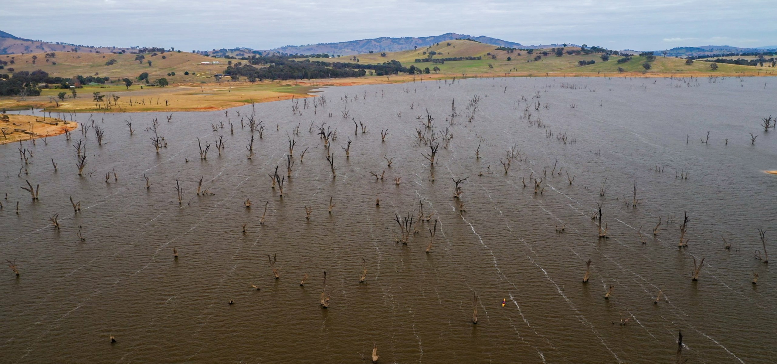
Knowing it was going to be a long day on non-flowing water and also because I was keen to get moving to warm up, I quickly packed up camp and hit the water. The tail wind was great. I was able to maintain a steady 9kmh when paddling and when drifting it was blowing me a long at 2.5kmh. You can see in one of the photos below the lines of foam across the lake that were created by this wind.
It was really creepy paddling amongst all the dead trees (killed when they built the dam in 1936 and flooded the valley) in the fog. I also had great fun flying the drone around and was able to get some interesting photos and video footage.
After about 4 hours of being assisted by the tail wind, the sun started to poke its head out of the clouds and the wind started to die off. By early afternoon the wind completely dropped and the water was like glass.
I feel kind of bad for some of the other Murray paddlers that are ahead of me on the river. I have read about the misery they had with strong headwinds crossing this big body of water. I guess I was lucky but I am sure I will get my fair share of head winds later in the journey.
I arrived at the Hume Weir at about 3pm to find that I had a fairly long hike up to the caravan park that I was going to be spending the night. I had to get the trolly wheels out and lug the gear up a long, steep, sandy and grassy bank. I then had to weave my way up the hill along the various roads within the caravan park. As exhausting as it was, it was a good test of using the trolly and distributing the weight of all the gear, because I have lots of walking to do tomorrow (more on that later).
Now that I am in a caravan park, I have been able to have my first shower in 6 days. It was heaven. The only problem with being clean is you realise how much all your gear and clothing stinks. I will be in Albury tomorrow for 2 nights, so I can do a wash.
Speaking of the body, it is holding up remarkably well. I had a bit of soreness in my right lateral muscle last night after the really long paddle, but a sleep and an anti-inflammatory seems to have fixed it.
So tomorrow… As mentioned earlier, it involves a fair bit of walking (trollying). First up I have to walk around Hume Weir. Many people get someone to drive them and their gear around the weir, but I have decided I am going to walk around all the portages (just one of my rules for the journey). I went for a walk this afternoon to check out the planned road, track and launching point. It looks like it is about 1.6km, but fortunately a lot of it is downhill on a sealed road. A very kind fisherman gave me a lift back up the hill so I didn’t need to hike back up. After the short 20km paddle to Albury, I then another 1km walk to where I am staying.
Alrighty… it is time to make some dinner in the lovely camp kitchen at the caravan park. It is going to be a novelty to cook under lights and to be able to wash up in a sink.


From: Jingellic
To: Thologolong
Distance: 63km
Distance to Go: 2273km
I had planned to have a long day of paddling today and I certainly did. Knowing that the water would start to slow as I got closer to Hume Dam, I wanted to knock off as many kilometres as I could today, to make tomorrow’s paddle to the Hume Weir a lot easier. In the end I was on the water for 8.5 hours (with a 45 min lunch break) and ended up paddling 63km (nearly twice what I did yesterday).
This morning was a very foggy and dewy morning. It was about 1 degree when I packed up the tent and the fog and the temperature did not lift until about 11am. It was freezing until the sun broke through the fog. Once the sun was out it was a beautiful day with perfect sunshine and not a breath of wind all day.
The paddle was fairly uneventful, other than meeting a few people at the lunch spot (Burrowye Reserve) and having a good chat about my trip. I did see my first wombat. He was a very old scaly looking fellow (see the photo) but it was still nice to see an animal that wasn’t a cow.
At around 2pm I reached the point where the Hume Dam technically begins, however the dam is only at 43% capacity, it was still a flowing river for the next 15km. The water is now starting to slow down and tomorrow I think I be mostly paddling on non-flowing water.
At around 3.30pm I started looking for a spot to camp. Unfortunately most of the spots near Hume Dam were full of cows. Eventually, as I was starting think I was going to be paddling in the dark, I found a small island that was free of cows. It is close to a road, but there doesn’t seem to be many cars on it. There are a few sheep and lambs in the paddock next to me, so hopefully they won’t make much noise tonight.
I have about 35km to go tomorrow to Hume Weir, where I will be staying at a caravan park just next to it. It will be a long day, but the weather forecast is looking very similar today, which will make perfect conditions for paddling across the dam.


