 Robbo – The Blog of Andrew Robertson
From: Punyelroo Caravan Park
To: Hettner Landing
Distance: 33km
Time in Boat: 6hrs
Total Distance Travelled: 2173km
Distance to Go: 208km
I knew today was going to be windy, so once again I decided to get up early (around 5.30am) and quietly pack up my gear as not to wake up the other campers. It had rained a bit overnight and some light showers came over just as I was getting into my kayak. As I started padding, there was a brief sunrise and then the clouds came over again and snuffed it out.
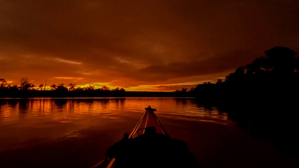
A slight breeze had already started and just after sunrise a large cloud drifted over and it started to rain properly. This rain continued for about an hour but then it quickly cleared up and all of a sudden it was lovely blue skies.
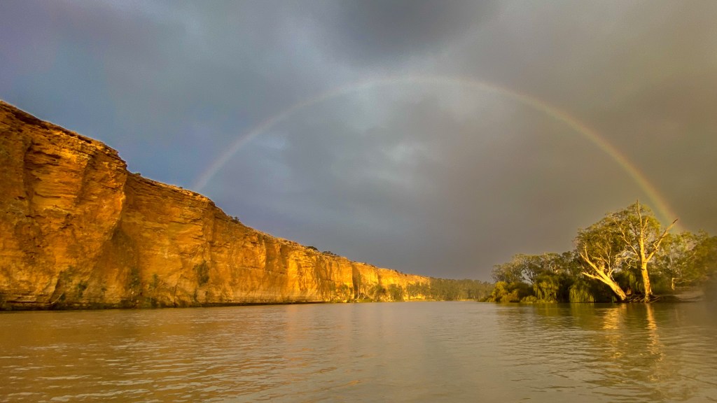
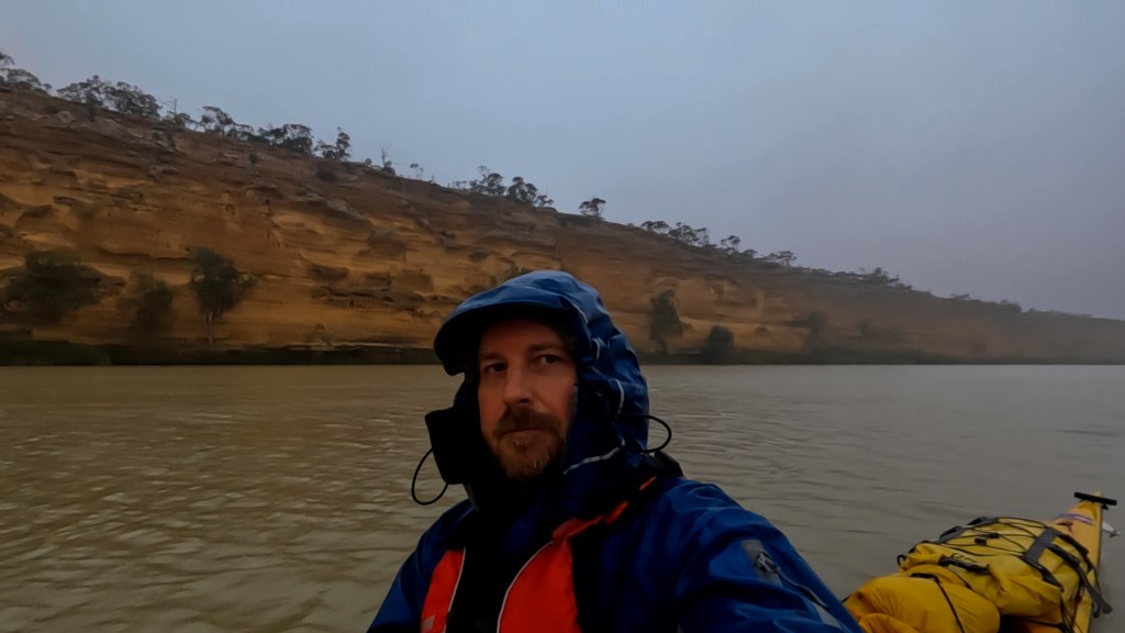
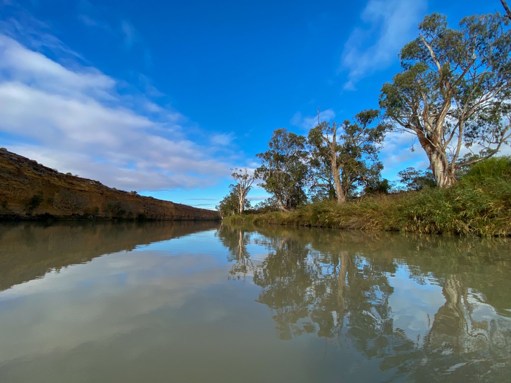
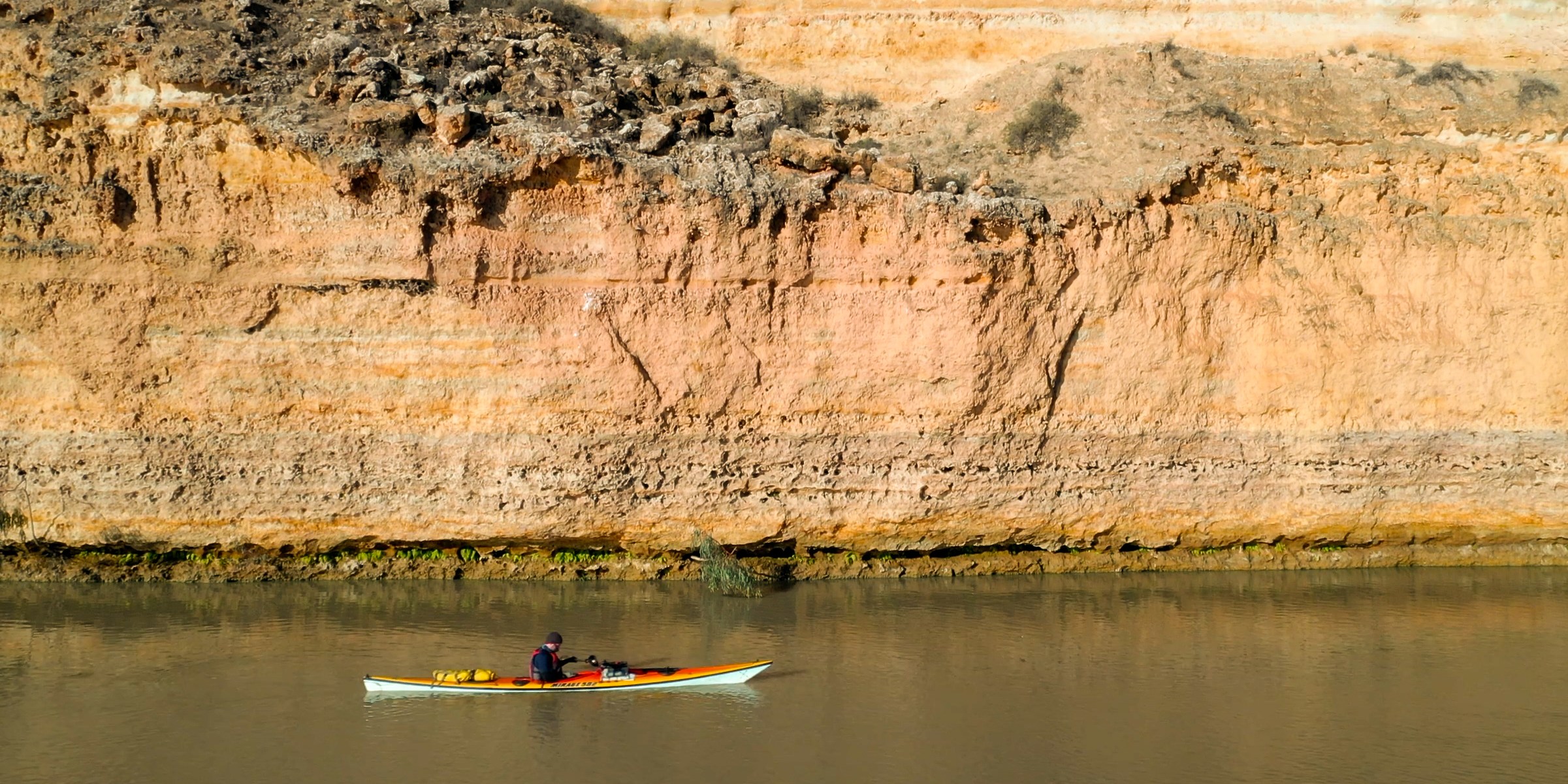
The wind then started to really pick up. It was a North Westerly and because I was heading West for the majority of today, it became a bit of a pain. I hugged the side of the river to get as much shelter from the long reeds or the cliffs as I could.
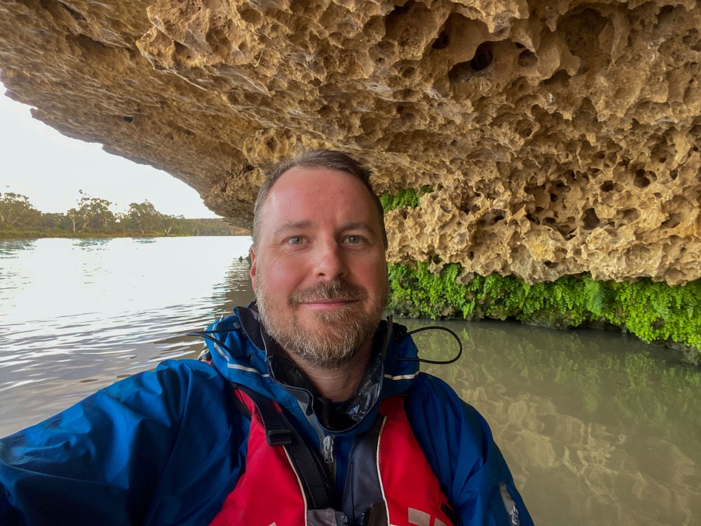
In the late morning, just after I had put another coat of sunscreen on, another big cloud moved across and it started raining again. So I put my Goretex jacket on again and 15 minutes later it was blue sky again. I just couldn’t win.
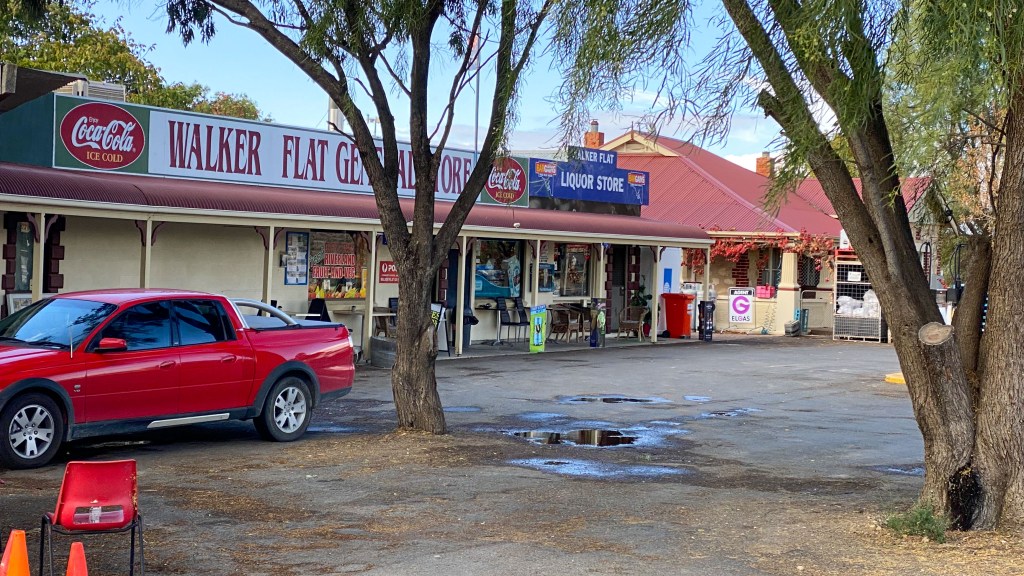
Around lunch time, after about 6 hours of paddling, I came to my planned campsite at Hettner Landing. It is a free camping site on the bank of the river. It has a very clean, flushing toilet and the Walker Flat General Store is about 400m away.
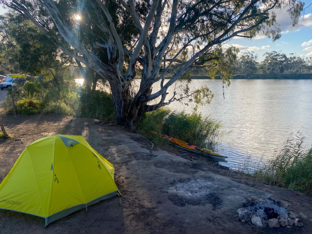
As I was setting up camp the wind really picked up. It was probably gusting around 50kmh. For the first time on this entire trip (including last year), I had to use the guy ropes on my tent to stop it collapsing or blowing away.
Once the tent was satisfactorily secure, I walked up to the shop to get a burger with the lot (food of athletes) from the store. I then sat on the waters edge, below the bank to protect myself from the wind.
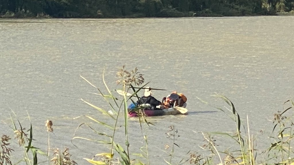
The other interesting thing that happened during the afternoon was that I happened to look at the river and I saw a kayaker going by. He was loaded with gear and fighting with the wind. It was a guy, named Ghislain, who is also paddling the Murray River. I have not met him before, but I saw on the Murray River Expeditioners Facebook page that he was just behind me. He did not see me and I was a bit late to call out to him, plus he looked very focussed on dealing with the wind. I am sure I will leapfrog him tomorrow.
I only have 5 more paddle days to go now. It really is starting to feel like this adventure is nearly over. I have been keeping an eye on the forecast for the final Lake Alexandrina crossing (in 5 days time, on Saturday and Sunday) and it is looking pretty good. I plan to do it over 2 days, sticking to the East coast of the lake and camping half way near the Nerang Ferry. The forecast is for not very strong Easterlies and North Easterlies which is perfect for this route. So fingers crossed it remains that way.
Tomorrow is a really big day. I have 56km to do down to Mannum. It is looking like I will have headwinds again, but not as strong. My plan is to get up around 4am and do the first couple of hours in the dark while the wind is calmer.
However, for now I will probably head back up to the store shortly to get myself some dinner. I am just not in the mood to cook tonight.
Day 65 – Morgan to Blanchetown
From: Morgan
To: Blanchetown
Distance: 44km
Time in Boat: 8hrs
Total Distance Travelled: 2106km
Distance to Go: 274km
Well that was an interesting night. I got into my tent around 7pm and promptly put my ear plugs in. There was a 4wd club having social drinks at one of the caravan parks near me, so I needed to block them out. They fortunately disbanded pretty soon after I got in my tent. However the couple in the caravan next to my tent, had settled in for the night under their awning and were sitting about 2.5m from my tent. I let them know that I would have my ear plugs in and they said they would try to keep it down. However over a bottle of bourbon and a couple of bottles of wine, they slowly got louder and had a very long chat. I did fall asleep for a while but woke up around 10.30pm and they were starting to discuss some pretty intimate aspects of their relationship. It was hard not to listen, but eventually I went back to sleep.
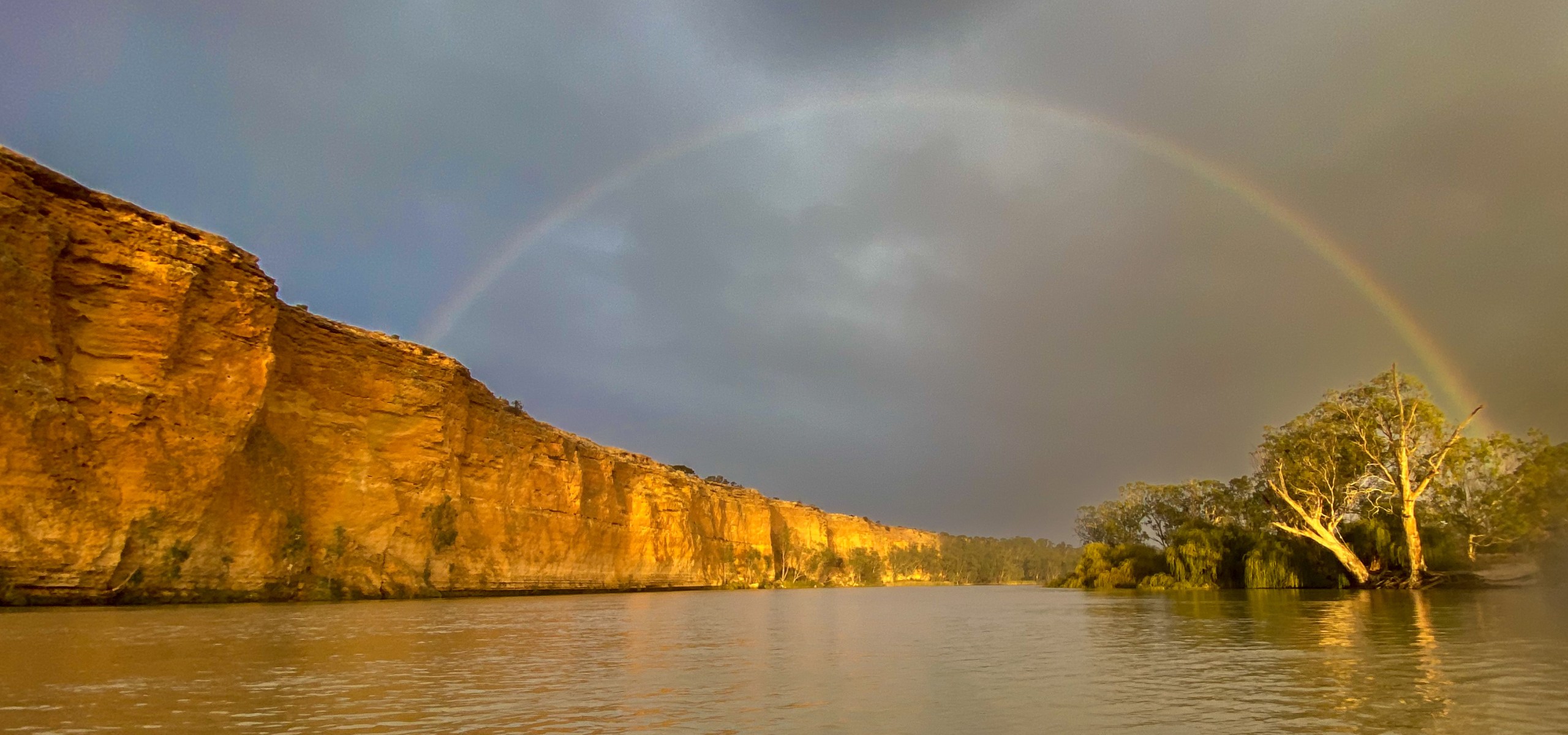
I woke up around 4.30am and just as it started to rain. I realised I had left all my wet weather gear in my kayak on the side of the river. So at around 5.30am, there was a break in the the rain and I quickly packed everything up and got into my kayak. It was a lovely morning paddling in the dark and I was treated to a nice sunrise (I haven’t had one for a few days) and a rainbow.
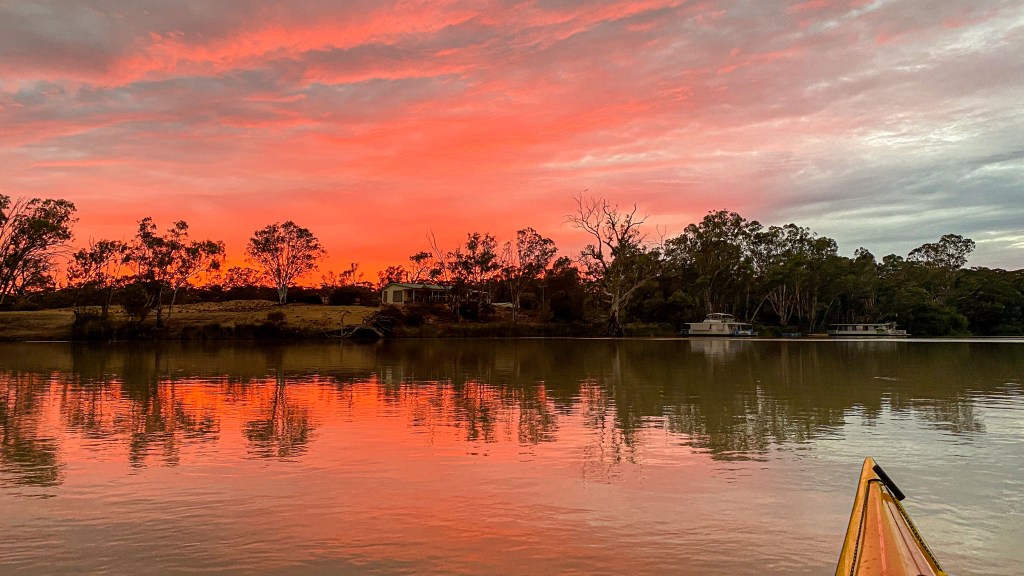
Paddling out of Morgan was a bit like paddling through suburbia. There were so many houses lining the river. In these parts, the South Australians call their river side holiday houses “shacks”. When I heard about these shacks I imagined run down little sheds by the river. How wrong was I. A lot of these shacks where modern, multi-story mansions. They looked like beach houses you would find in Palm Beach or Sorrento.
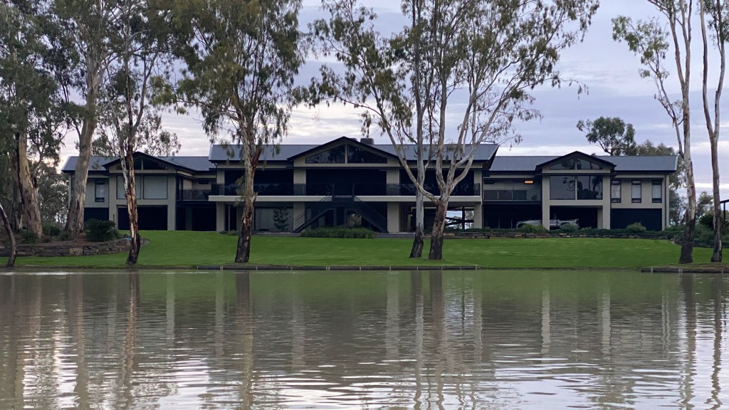
As the morning progressed, the sun came out and the weather started fining up, turning into a lovely day.
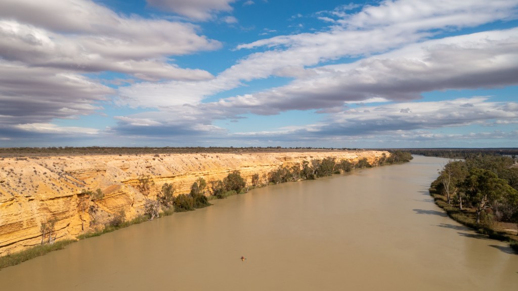
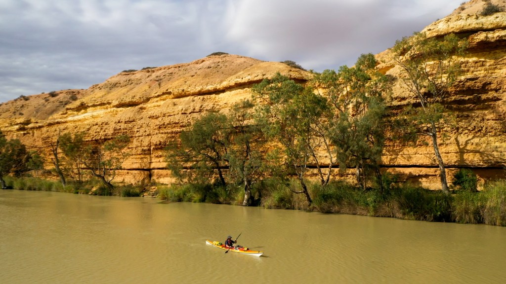
At around 1.45pm, I was on the outskirts of Blanchetown (my destination for the day) and just after I had called the Lock 1 (my last lock) lock keeper to tell him I was approaching, a small drone started buzzing around me. I saw some people on the bank who were fishing and I figured it was one of them operating it. It then started following me and started buzzing around me from all angles.
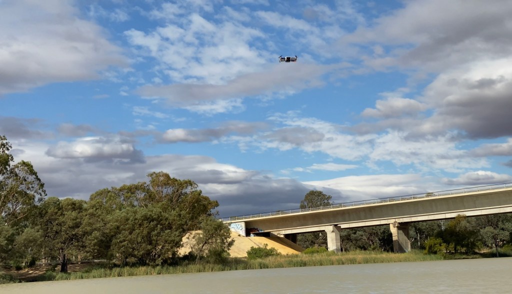
It was a bit confusing because I would have expected they would fly over, have a look and then fly away again, However this one was persistent. As I paddled under the Blanchetown bridge, just before the lock, the drone finally flew away.
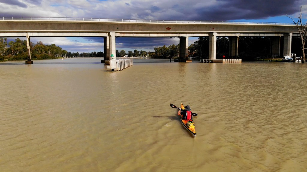
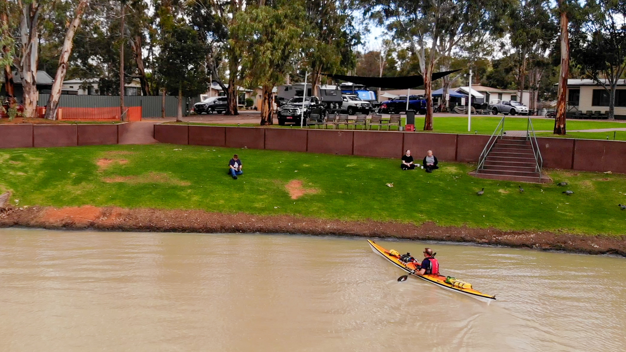
The lock was only a couple of hundred metres before the caravan park that I was staying at. As I exited the lock, the drone came back. I paddled towards the river bank at the caravan park and I saw the drone operator and I thought “gosh, that guy looks a lot like Sean” (my mate from Sydney). I then recognised his t-shirt and realised it actually was him.
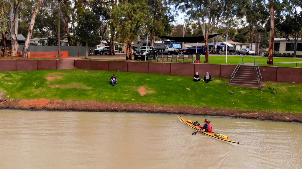
A couple of days before, Sean had the idea of coming down to meet up with me and to give me a beer on my arrival. He called Kath and between them they worked out that Blanchetown was the only place I would be in a caravan park on a weekend. So this morning, he took a flight from Sydney to Adelaide (2 hour flight), hired a car and drove the 1.5 hours to Blanchetown. He was watching my track on my tracker and quickly rushed to the river because he saw I was hooking along at 10kmh and didn’t want to miss me.
As I shook off some of my shock, he grabbed a couple of beers and we drank them on the bank of the river. I am still deeply touched that he did this. We chatted about it and I realised I would probably do exactly the same thing if he was on such and adventure too.
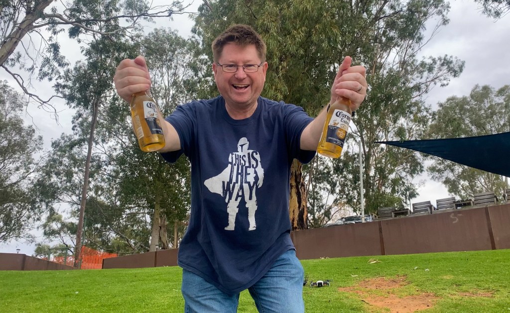
We had a couple of more beers and then headed up (a very big hill) to the Blanchetown Hotel for dinner. Afterwards we sat by the fire at the caravan park for a bit and then both retired to our beds… well he had a cabin, so he had bed, I retired to my tent, sleeping mat and sleeping bag.
Day 66 – Blanchetown to Punyelroo
From: Blanchetown
To: Punyelroo
Distance: 34km
Time in Boat: 6.5hrs
Total Distance Travelled: 2140km
Distance to Go: 241km
After a good (beer induced) sleep, I got up around 6am and slowly packed my gear while drinking a cup of coffee. Today was going to be a big day because I had planned to paddle 47km to a potential campsite I had seen on Google Earth. Campsites are a bit more scarce in these parts because there are so many shacks lining the river and a lot of private property.
The forecast had predicted strong North Westerly winds, but the morning was fairly still as I departed from the caravan park. Sean got up to wave me off before heading back to Adelaide to catch an 11am flight back to Sydney.
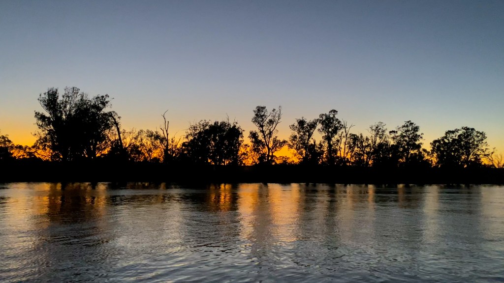
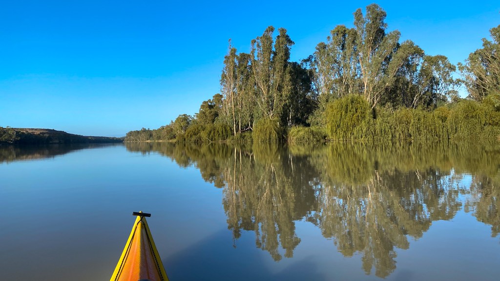
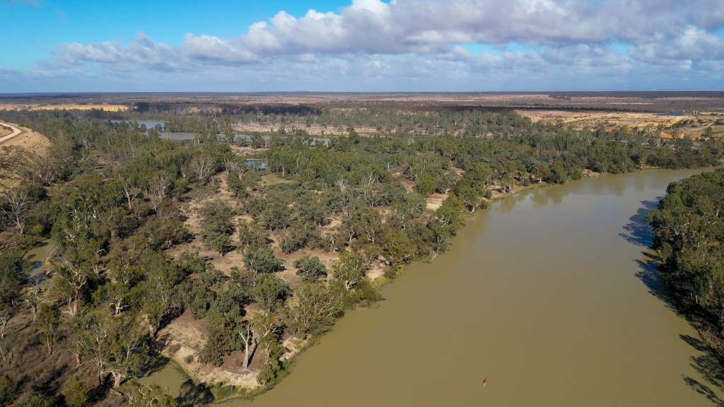
I was sort of dreading today because looking at the map it looked like it was going to be pretty much a full day of paddling due South. I thought it would not be very interesting, but after all the shacks I had passed yesterday, I was soon surrounded by cliffs and bush. It was actually quite pleasant.
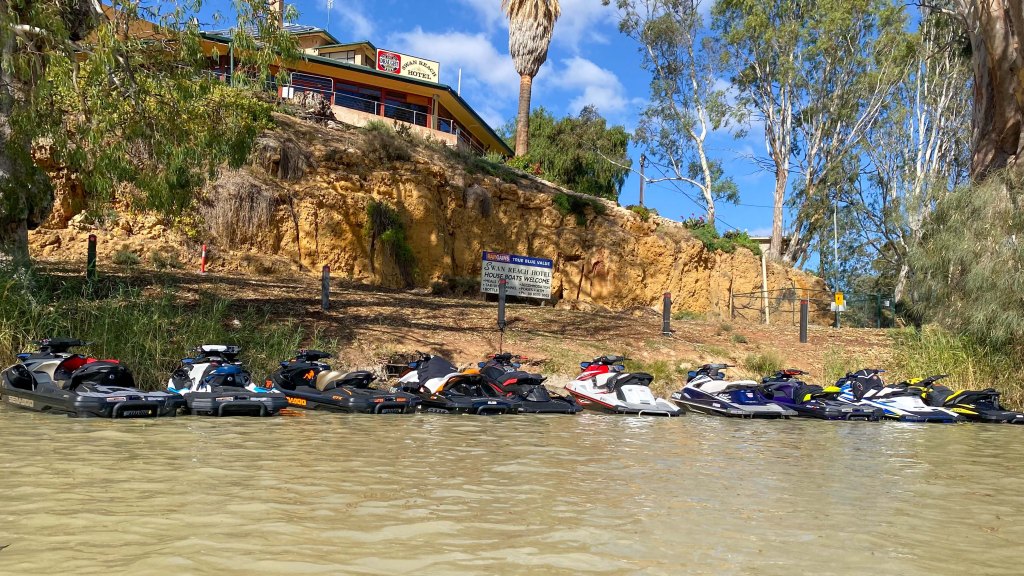
The wind started picking up and soon got very strong. Fortunately, it was generally a tailwind and I was able to sit on a steady 9kmh with putting a lot of effort in. At around 12pm I reached the small town of Swan Reach. I saw that it had cafe near the river, so I parked my kayak near the ferry and walked up to the shop to get a coffee and a pie for lunch. As I was sitting on the bank next to my kayak, about dozen jet skis ridden by a group of blokes that looked like big bearded bikers, pulled up right next to where I was sitting. They promptly walked up to the Swan Reach pub.
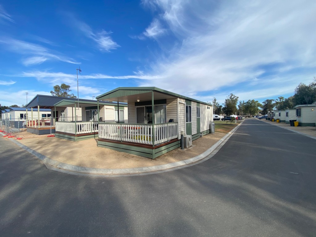
With still 20km of my planned paddle to go, I got back on the water and continued on my way. The wind got a lot stronger and started to swing around to be more of a Westerly, which meant I had a fairly uncomfortable cross wind. After about an hour of pushing along I came across a the Punyelroo Caravan Park on the side of the river. It looked like it was fairly quiet and had nice grassy areas on the side of the river. I quickly got out my map and did some rough calculations of distances and worked out that I could stop now and have a couple of longer days over the next 2 days down to Mannum. Plus, the wind is forecasted to be a lot less over the next couple of days, so it made sense to make today a shorter one. Also I really have no idea what my planned campsite was going to be like (I’ll see tomorrow), but it definitely wasn’t going be as good as this spot. So I walked up to the office and got myself a nice piece of grass on the river.
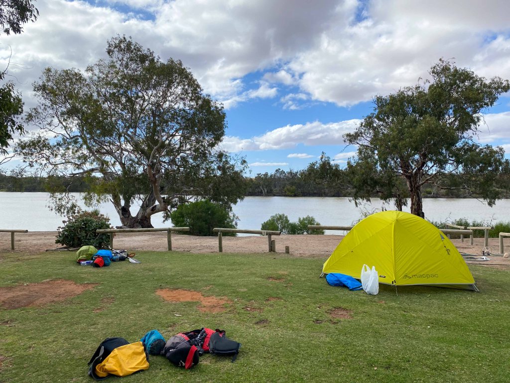
Just as I was unpacking my kayak, I could hear the jet skis coming back down the river. Knowing what many (not all but many) jet skiers are like (i.e. dickheads… the kayakers and jet skiers venn diagram circles don’t generally overlap), I quickly pulled my kayak out of the water and up onto the beach. As all 12 of them approached, as predicted, a couple broke off from the group and decided to do a fly by the beach. This caused large waves to wash onto the shore and would have flooded my kayak if I hadn’t moved it. So yes… confirmed… they were dickheads.
The weather this afternoon has started to get a bit greyer and colder. There looks like there is some rain coming in the next few hours so I have put my trusty tarp up over my tent for some extra protection and this time I have my wet weather gear ready.
This caravan park doesn’t have a camp kitchen, so I will be cooking myself some pasta on my stove tonight and probably heading into the tent pretty early to hide from the cold and potential rain.
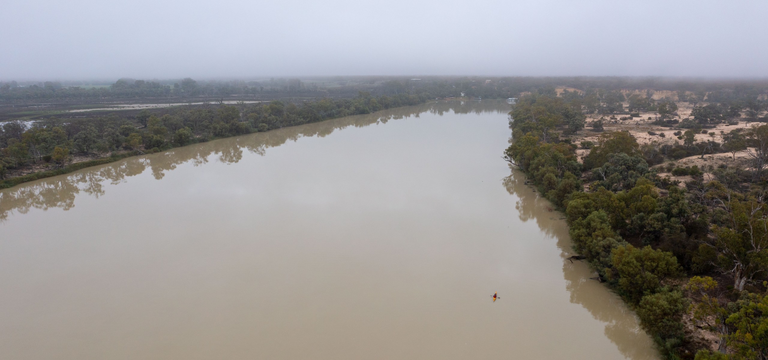
Day 63 – Waikerie to Graeme Claxton Reserve
From: Waikerie
To: Graeme Claxton Reserve
Distance: 50km
Time in Boat: 8hrs
Total Distance Travelled: 2050km
Distance to Go: 432km
I had a nice rest day in Waikerie yesterday. Apart from a visit to the supermarket and bakery in the morning, I really didn’t do much in town. I spent the day pretty much finishing the weekly video, planning out the final 10 days of this journey and having an actual rest.
This morning I woke up around 5am and slowly packed all the gear while eating my breakfast. I started trollying everything down to the river (about 400m from my cabin) just before sunrise. It had rained a bit over night but it was only a light drizzle by the time I was on the water.
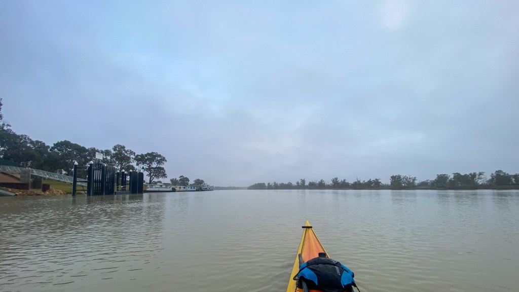
The day was pretty straight forward. My shoulders were feeling good and I quickly got in the paddling rhythm.
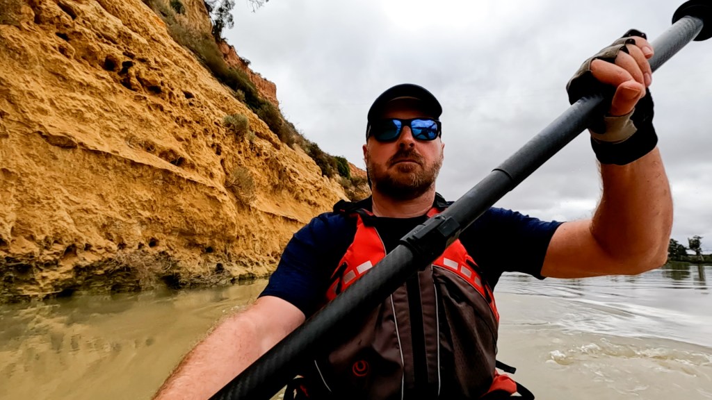
After a couple of hours I happened to look down at my gps and saw a waypoint on the screen. It was a lock. I had completely forgot that I was going through Lock 2 today. Fortunately I was 2km out (about 15 minutes) so I could call the lock keeper and warn him I was coming.
Barry, the lock keeper, was great. All the lock keepers have been very friendly, but Barry was the friendliest. We had a good chat and he kept chatting after the gates were open, ready for me to leave.
It was great paddling weather today. It was grey and cloudy but there was no wind. Plus, Barry told me he had just started letting out more water today so the pace picked up to 9kmh (1kmh more that I had been doing). It doesn’t sound like much but over 8 hours of paddling it makes difference.
At around 1pm I arrived at my planned campsite after 36km of paddling. Unfortunately there was a “private property” sign on the bank so I couldn’t stop there.
I knew that there was a big reserve, called Graeme Claxton Reserve, about 14km away and since it was such a nice day for paddling, I decided to push on.
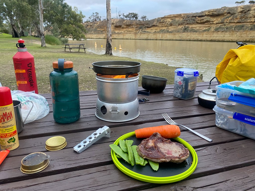
I arrived at the reserve just after 3pm and found a good spot for the tent and a picnic table to set up my kitchen.
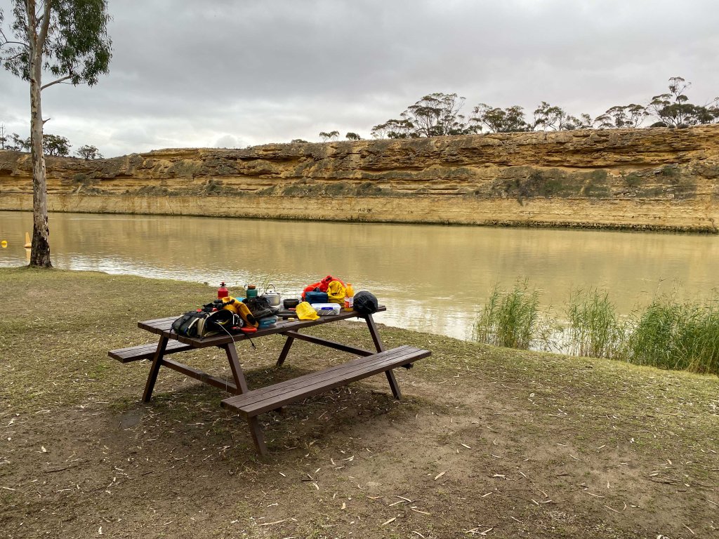
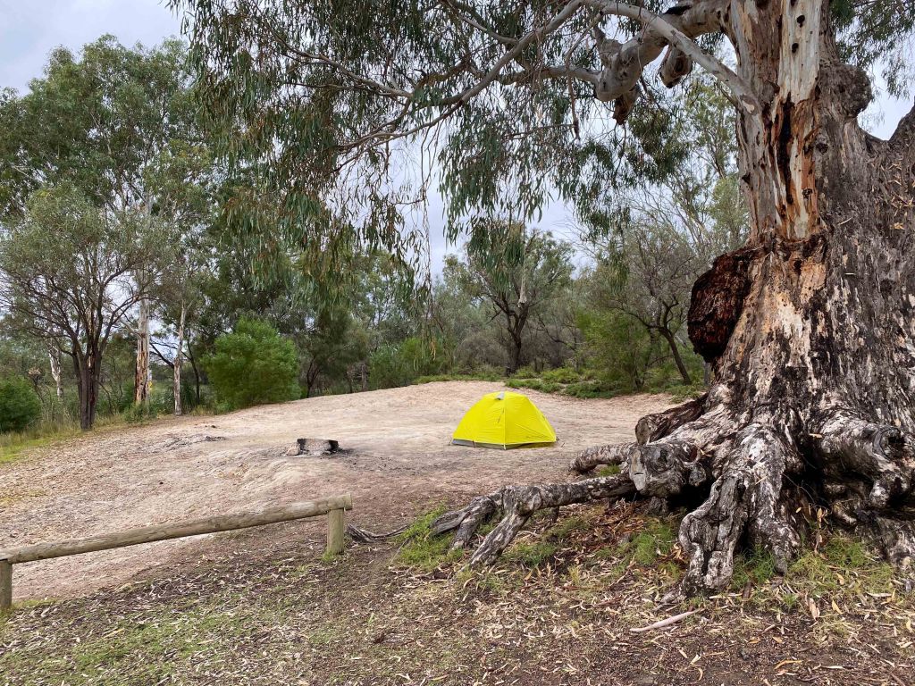
There are a couple of caravans here and they have all been very friendly. Darryl and Veronica, from Orange, had their friendly kelpie dog with them, so I got my playing with a puppy fix. They also gave me a beer that went straight to my head after 8 hours of paddling and little food.
Just after sunset, once I finished my steak and salad, it started to drizzle lightly which was my cue to get into the tent. I am sure that it won’t take me long to fall asleep after I finish writing this.
Tomorrow was always going to be a short day of 25km to the town of Morgan, where I am camping in the caravan park. Now that I have knocked off 14km of that distance today, it means they tomorrow is only going to be about 2hrs of paddling. I have a few longer days (45km plus) after tomorrow, so I figure I can justify having a lazy easy day. After all, there is no rush to finish this.
Day 64 – Graeme Claxton Reserve to Morgan
From: Graeme Claxton Reserve
To: Morgan
Distance: 12km
Time in Boat: 2hrs
Total Distance Travelled: 2062km
Distance to Go: 416km
Last night was a pretty rough night. The ferry, which was about 300m upstream, would occasionally do a crossing in the night. Not only was the moan of the engine loud, but the clanging of the gates were very loud. Then at midnight, it sounded like a huge downpour of rain started, but it was weird because there was no rain falling on my tent. What I worked out was there were automatic sprinklers on the green grass area that kicked in at midnight and went for an hour. About every 2 minutes the water would blast against the tree trunk next to my tent and this also made a huge amount of noise.
At about 6am I got up and quietly made myself a coffee as not to wake up the caravan folks. I was then the water around 7.30am. I only had 11km to paddle to get to Morgan (which is a bit ridiculous) so I tried to take my time, with lots of drifting and zig zagging down the river.
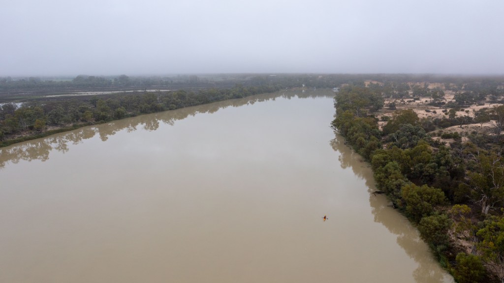
I then arrived in Morgan at about 9.30am. That’s right, my paddling day was done at 9.30am.
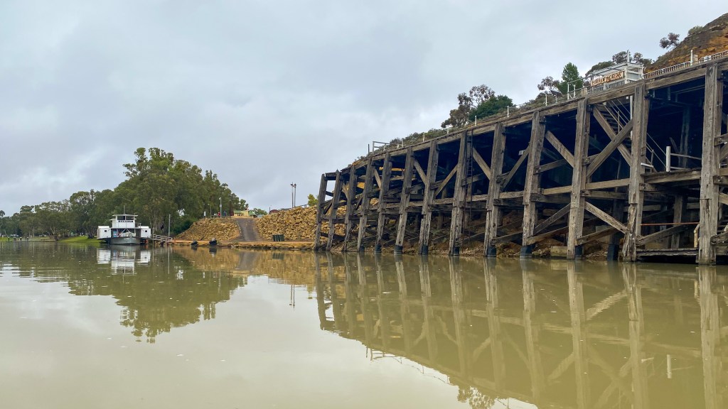
So I had a plan. I was going to go to the Morgan cafe and get myself a coffee and an egg and bacon roll. I would then sit in the lovely park on the foreshore and have a nice morning in the sun (which was forecasted). This plan, like many of my plans, did not quite work out that way.
I first walked up to the one cafe in town and on the door it said “closed for an indefinite period”. Great. Then I saw on Google Maps there was a bakery on the other side of the town (and up a big hill). So I walked up there and found it too was closed. So I walked back again and to the Friendly Grocer store and bought a loaf of bread. Toast on my stove was my new plan. One of the locals told me the Bakery owners retired 3 weeks ago and that the had no idea what was going on with the cafe.
Oh did I mention that the forecasted sun never showed itself either.
I then walked over to the caravan park to see if, on the off chance, I could check into my campsite really early so I could use the camp kitchen and showers. I finally had success with something and was able to eat toast in the camp kitchen.
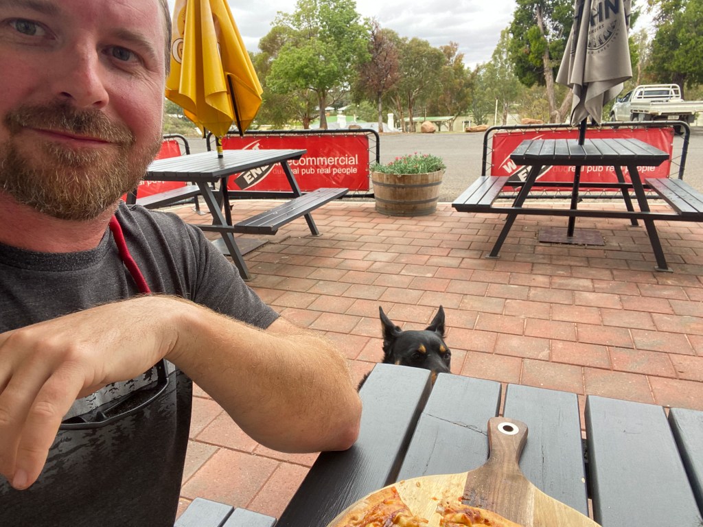
The only 2 other places (other than the grocer) that are open in town are the 2 pubs. So I decided to head back into town and go to the pub for lunch. I had a nice pizza and was accompanied by the pub dog (actually belonged to one of the regular patrons), Sheba, who like our dog just sat there and watched me take every mouthful.
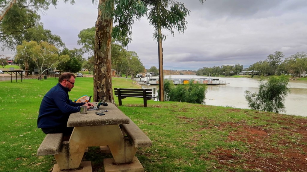
The rest of the day involved sitting by the river, at a very solid concrete table, catching up on a whole lot of emails and socials.
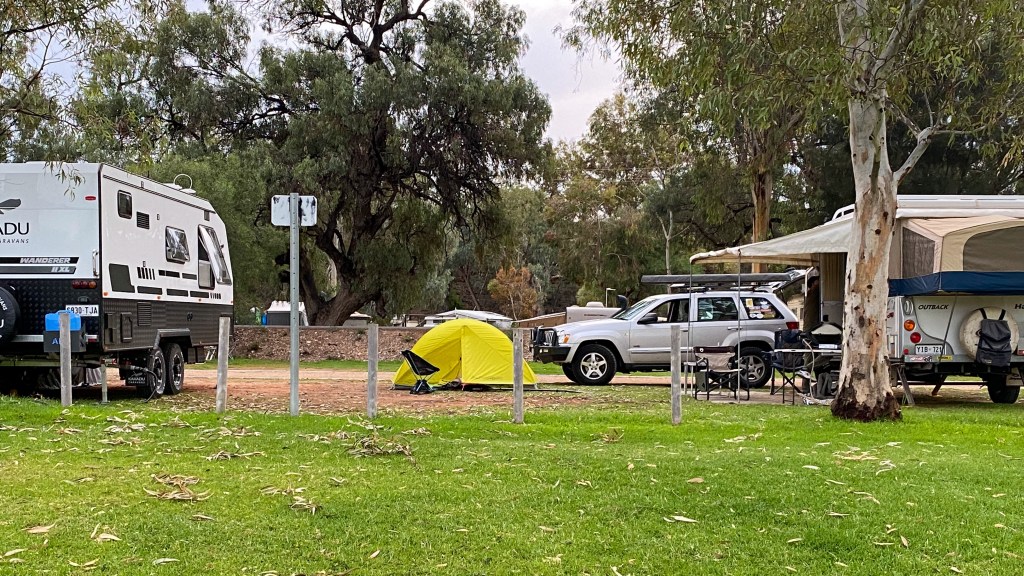
Plus meeting and chatting to the neighbouring caravan folks. And when I say neighbouring, I am not kidding. We are all very close.
I am now heading back to the pub for an early dinner because it is Friday night and they are going to be busy.
It will be an early start tomorrow because I have 45km down to Blanchetown.
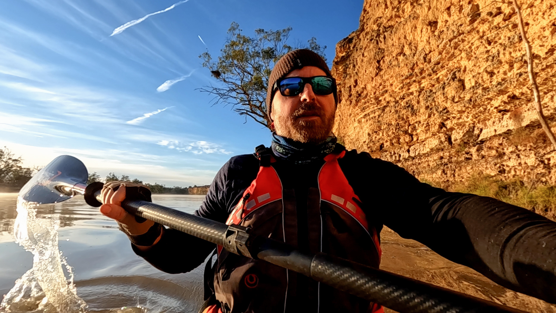
Sorry this post is a few day late.
Day 60 – Moorook to Somewhere
From: Near Moorook
To: Somewhere in the Bush
Distance: 32km
Time in Boat: 5.5hrs
Total Distance Travelled: 1968km
Distance to Go: 422km
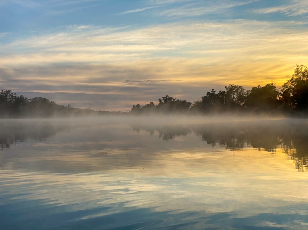
I woke up to a gorgeous morning. It was about 1 degree and there was a pretty mist floating on the glassy water. My shoulders felt a lot better after a good night sleep and a good dose of anti-inflammatories.
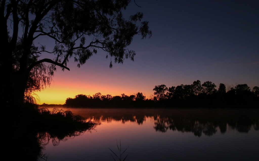
Over the next 2 days I have 70km to cover until I get to Waikerie, so my plan for today was to paddle at least 30km and then find somewhere nice to camp. I didn’t really want to push my shoulders and there was no point in getting to Waikerie tomorrow too early because I wouldn’t be able to check into my cabin.
The paddling was very easy today because there was no wind and I reached Lock 3 after a couple of hours paddling.
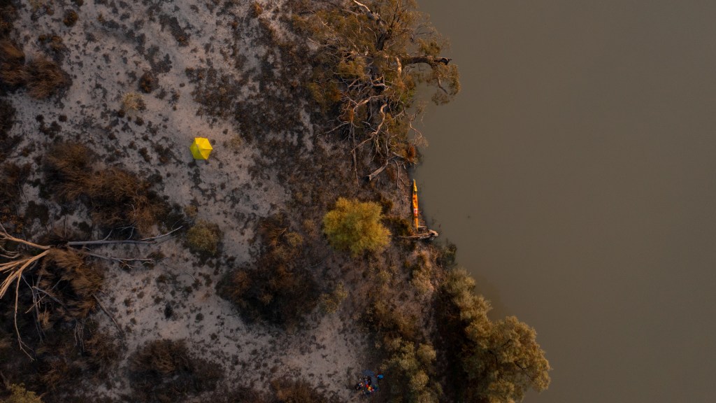
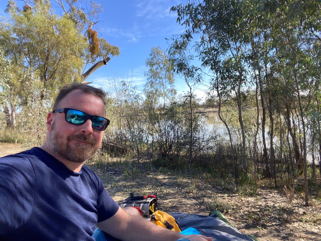
As planned, after 30km I started looking for a campsite and I soon found one in a quiet spot. It was only 1pm, so I was able to have a very relaxing afternoon on the bank, watching the birds and reading my book.
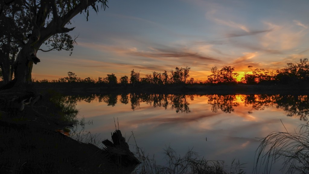
Once again I was treated to a lovely sunset.
Day 61 – Somewhere to Waikerie
From: Near Moorook
To: Somewhere in the Bush
Distance: 38km
Time in Boat: 6hrs
Total Distance Travelled: 2000km
Distance to Go: 482km
This morning I was on the water just on sunrise. It was pretty cold again (0 degrees) and for the first time (this year) I had to put on the neoprene paddle gloves to keep my hands warm.
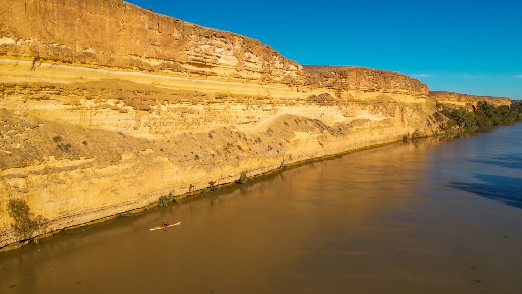
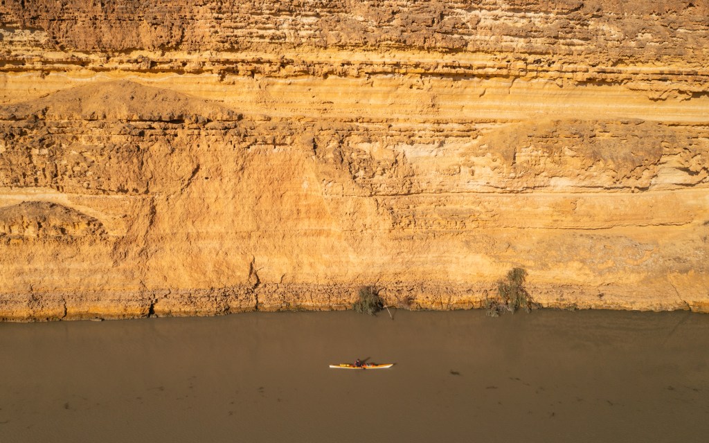
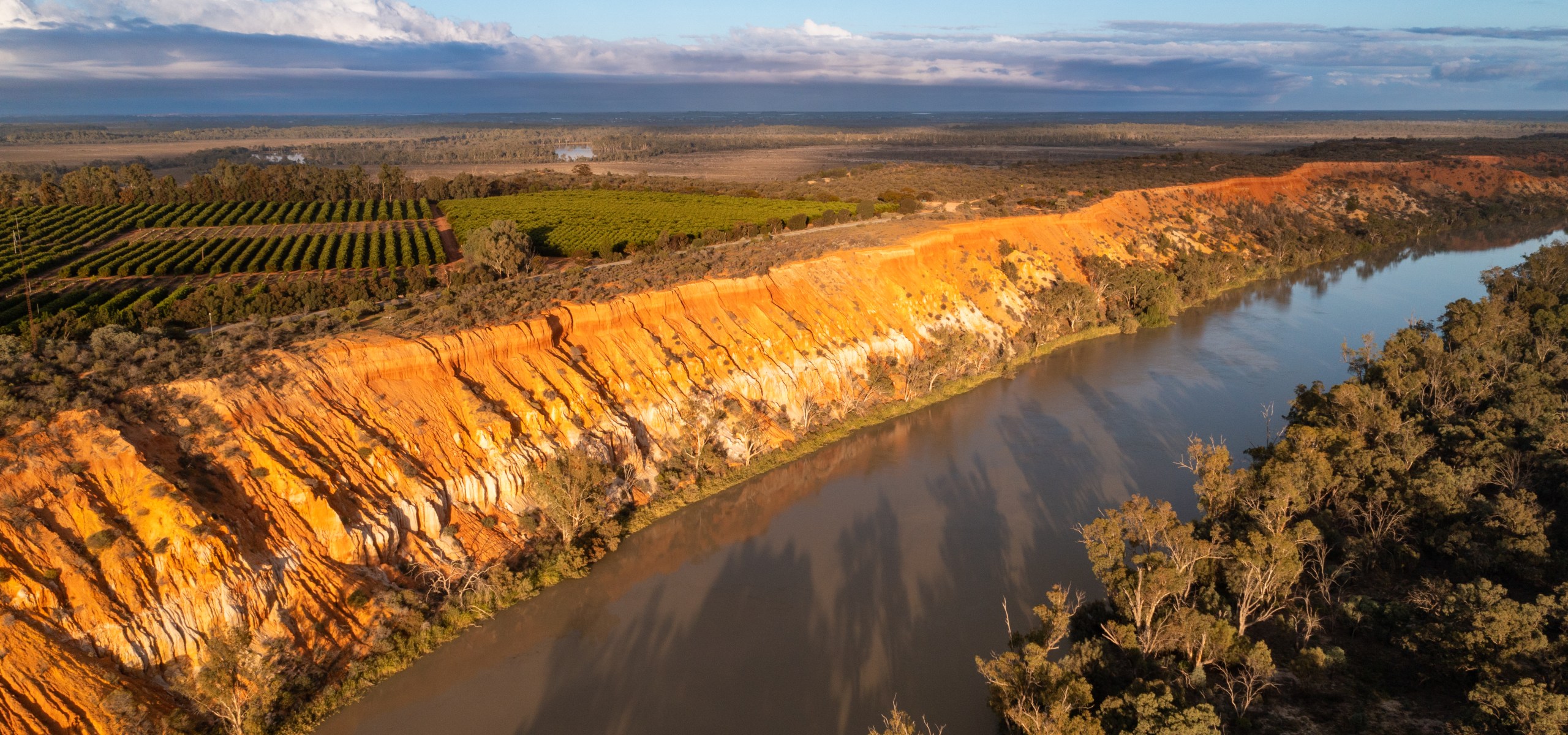
About 10 minutes after leaving camp I camp across some more spectacular cliffs called Telegraph Cliffs. The rising sun was shining on them making it perfect for photos and videos. I am glad I had not paddled past them yesterday because the lighting would have been nowhere as good.
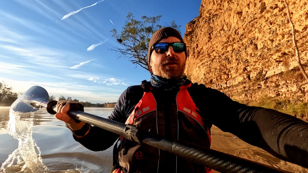
The weather today was absolutely perfect. Sunny, but not too hot, and no wind at all. I cruised my way down to the river and arrived in Waikerie just after lunch.
The big milestone was as I paddled into Waikerie I reached the 2000km mark. That is 2000km travelled since leaving the top of Mount Kosciuszko almost exactly a year ago. So that is a pretty big milestone.
The kind folks at the caravan park allowed me to check in to my cabin early, so I was able to have a shower and head into town to get a late lunch at the bakery.
I have a rest day in Waikerie tomorrow and then I will start the penultimate leg of the trip, down to Murray Bridge. There is only about 10 more paddle days left of this adventure. It is starting to feel like it is coming to an end.
Here is the video of the eighth paddle leg of the Summit to Sea journey down the Murray River from Renmark to Waikerie.
Day 57 – 41km – Renmark to Berri
Day 58 – 40km – Berri to Loxton
Day 59 – 39km – Loxton to Moorook
Day 60 – 30km – Moorook to somewhere
Day 61 – 38km – Somewhere to Waikerie
Total Distance for the leg: 188km
Distance: 39km
Time in Boat: 7hrs
Happy Mother’s Day to all the mums.
Today was a hard one.
I got up early and was on the water by 7am. Something I have discovered is that the first paddle stroke you take is a pretty good indicator of how your day is going to be. Today it felt like I was pulling the blade through wet cement. I knew right away it was going to be tough.
My shoulders were really achy and for the first hour I pretty much only did half strokes as not to extent my shoulder muscles too much. The morning was also really grey and overcast, so this didn’t help with the mood too much.
After 3 hrs I had only covered about 16km, which is a lot less than I normally do (I average about 7.5km an hour). My shoulders felt like they were grinding in the sockets.
After a short break on the side of the river I decided to snap out of my grey mood and suck up the pain. The sun also started breaking through which also helped. I increased my pace a bit and got in with the job.
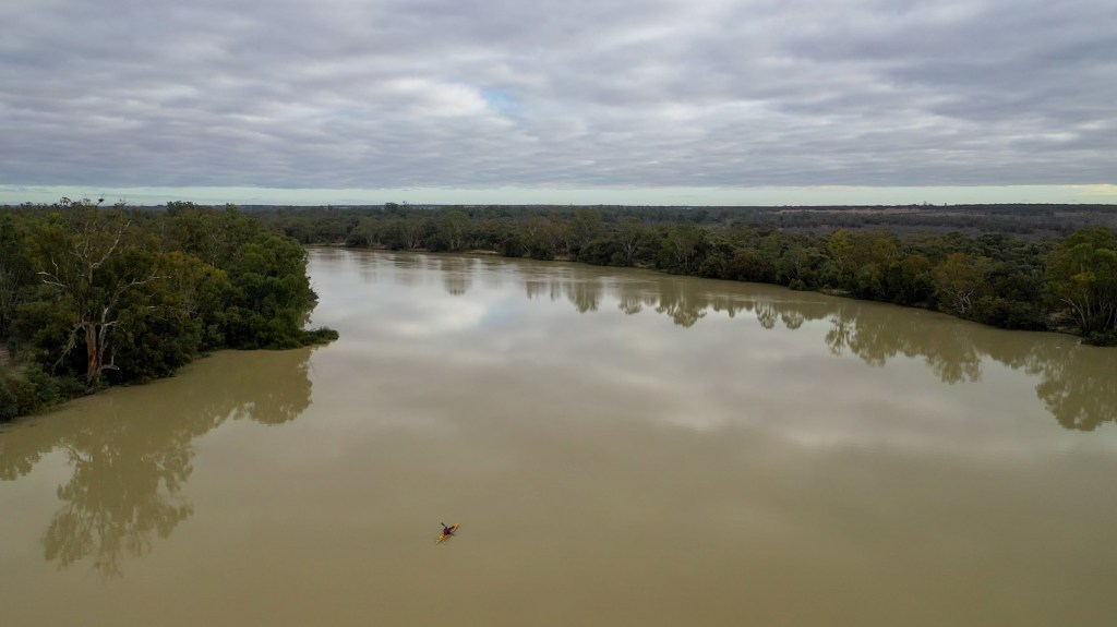
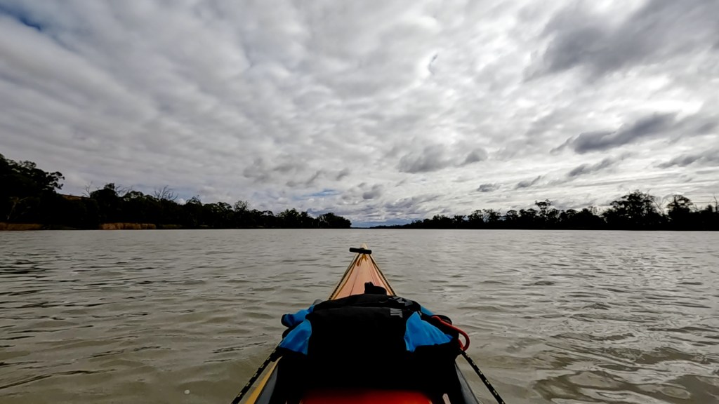
Today was one of the first long straight days. Before now a long stretch of river before you get to a bend would be about 2km. Today there was one stretch of the river that was 8km long and even the bend at the end was very minimal. Paddling long stretches can get pretty boring. I decided to put the Hamilton soundtrack on and distract myself a bit. The fact that I listened to almost the entire soundtrack before getting to the end of the straight bit shows how long it was.
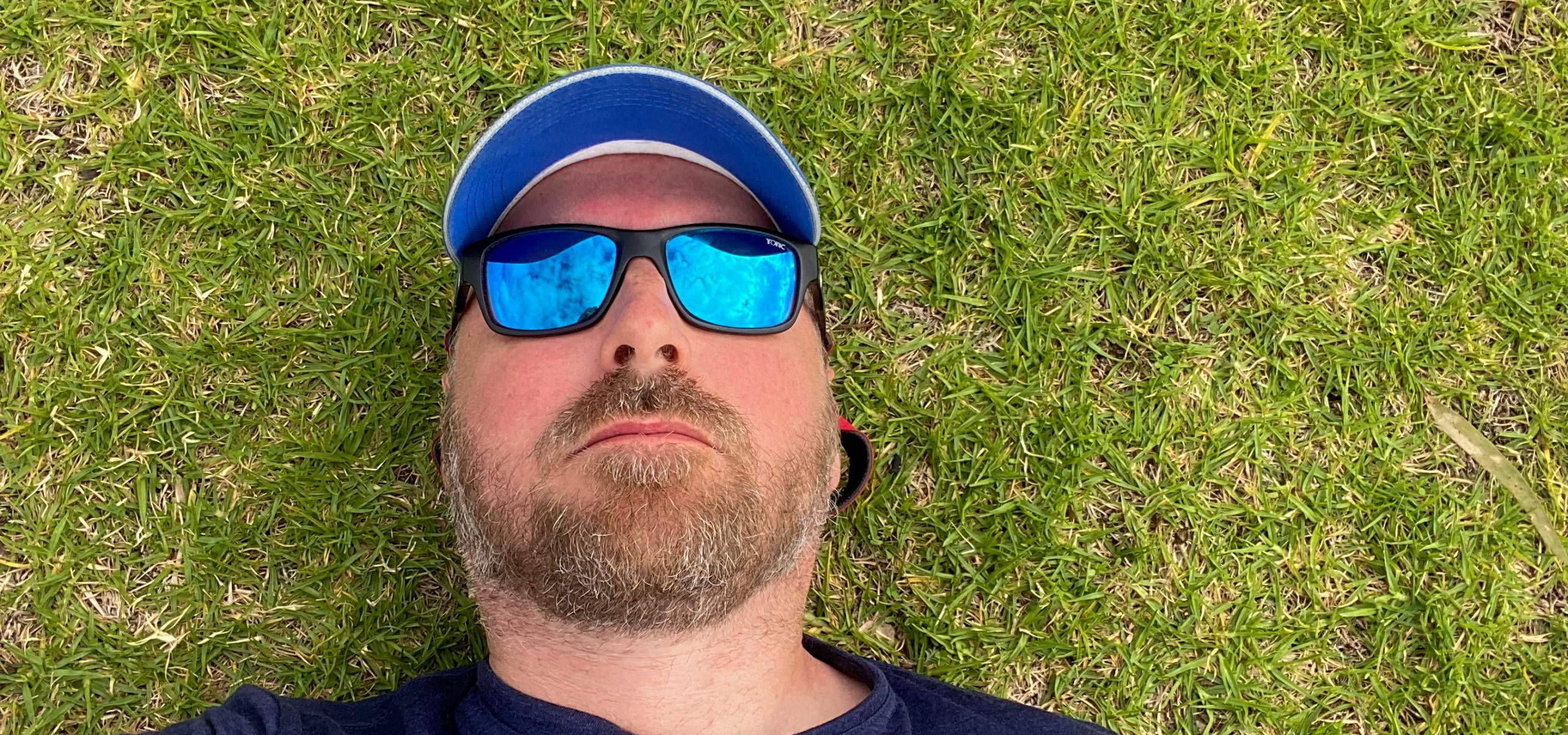
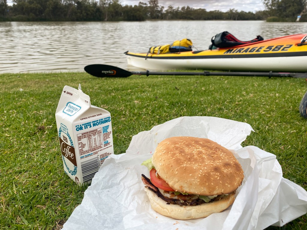
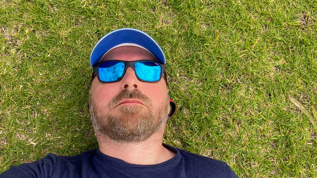
About 2km before my planned campsite, I reached the small town of Moorook South. It has a lovely park on the riverfront but more importantly it has a general store just across the road. If ever I needed a reward at the end of the paddle, today was the day. I treated myself to a burger with the lot and ate in about 5 mouthfuls. I then spent some time lying on the grass l, digesting and procrastinating getting back in my boat to paddle the last 15 mins.
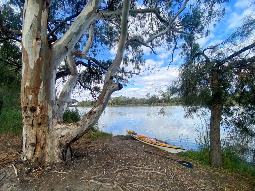
My campsite tonight is at a place called Campsite 6 (very imaginative) in the Moorook Game Reserve. It is a lovely spot with easy water access and very peaceful (of course two 4wds drove past as I wrote that). Being that it is a Sunday night, hopefully all the weekend campers will have gone home.
I have 36km planned for tomorrow and then 30km to Waikerie the following day. Depending on how my shoulders are tomorrow, I may switch those distances and make tomorrow a bit shorter.
Time to go and sit by the river and drink a cup of tea.
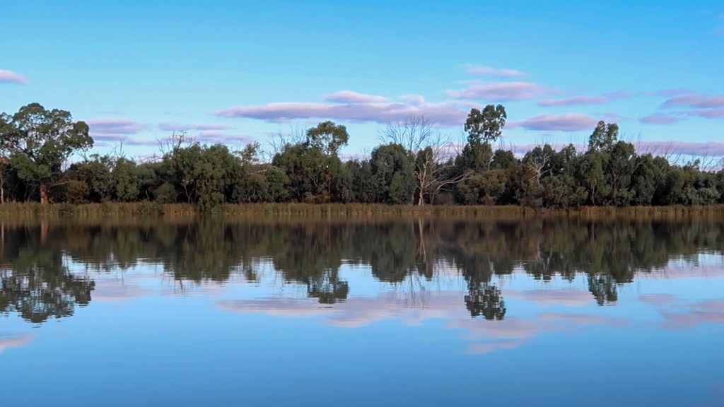
Day 57 – Renmark to Berri
Distance: 41km
Time in kayak: 7.5 hours
I had a relatively late start today because I had to wait for Lock 5, which was only 3km away, to open at 8am.
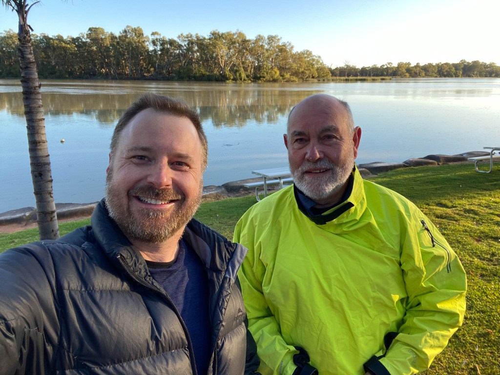
As I was bringing gear down to the river from my cabin, I found a car with a kayak on the roof parked next to my gear. It belonged to a gentleman named Eric (Eric the Red) who was staying in the caravan park. He introduced himself and said he had just watched my latest video that night and has been following my journey. He was just heading up to the border to paddle back to Renmark. So we had a good chat about gear and our adventures.
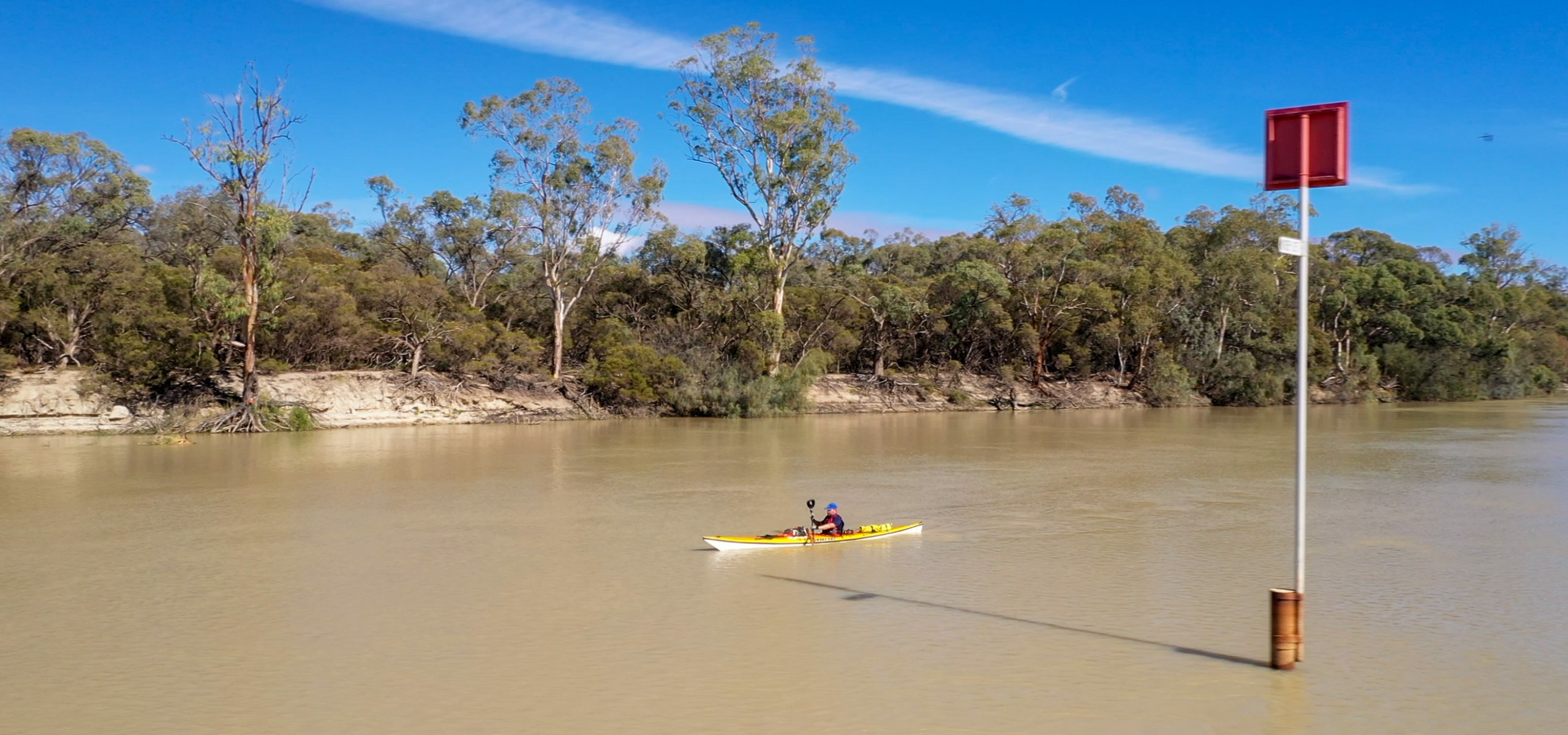
Today was a day of big head winds. It didn’t seem to matter which direction the river was going, there was still a head wind. I also found that the large cliffs would funnel the wind up the river which just added to the intensity.
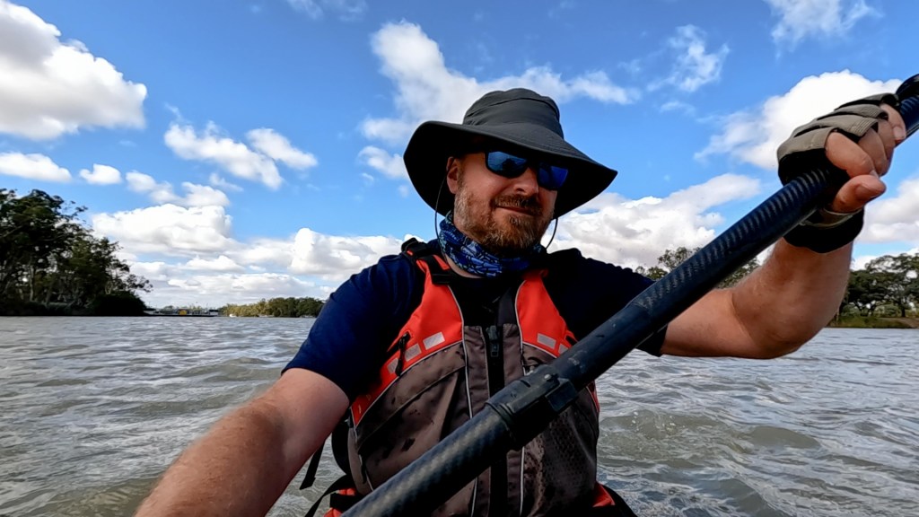
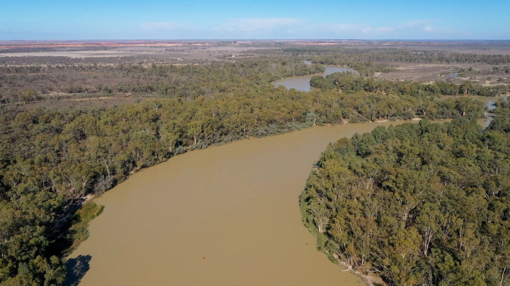
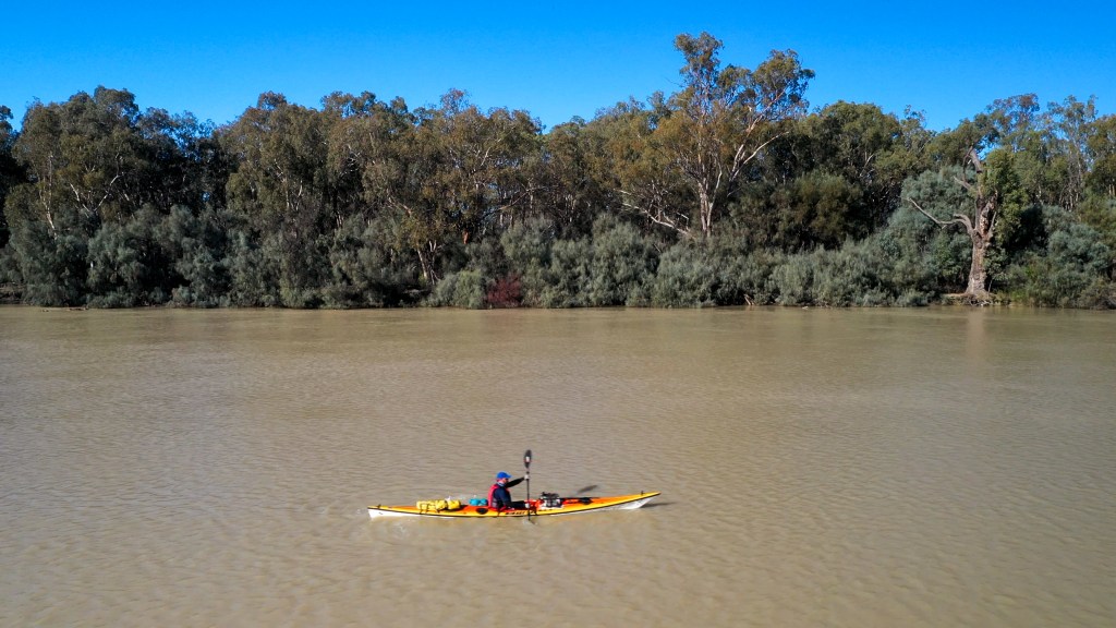
At around 2pm I arrived in Berri and trolled my gear from the Berri Marina (basically just a park with a boat ramp to the Caravan Park. I had booked a tent site for the night which ended up being right at the back to the park. This wasn’t too bad because it meant I was away from the road and the sounds of cars.
Once I had set up camp, I walked into down and did my food shopping for the next 5 days. I have to admit that I am not being very organised this time. I used make detailed lists of the meals and food that I needed. Now I just show up to the supermarket (normally hungry) and just buy stuff.
After I had sorted out my food, I then headed back into town to meet a paddling friend, Amy, for drinks and dinner at the Berri Hotel. Amy is a Berri resident and she canoed down the Murray last year around the same time as me. I caught up to her in Mildura, but she was able to continue across the SA border because she is a SA resident. Amy also has a passion for creating videos of her paddling trips and you can see them here.
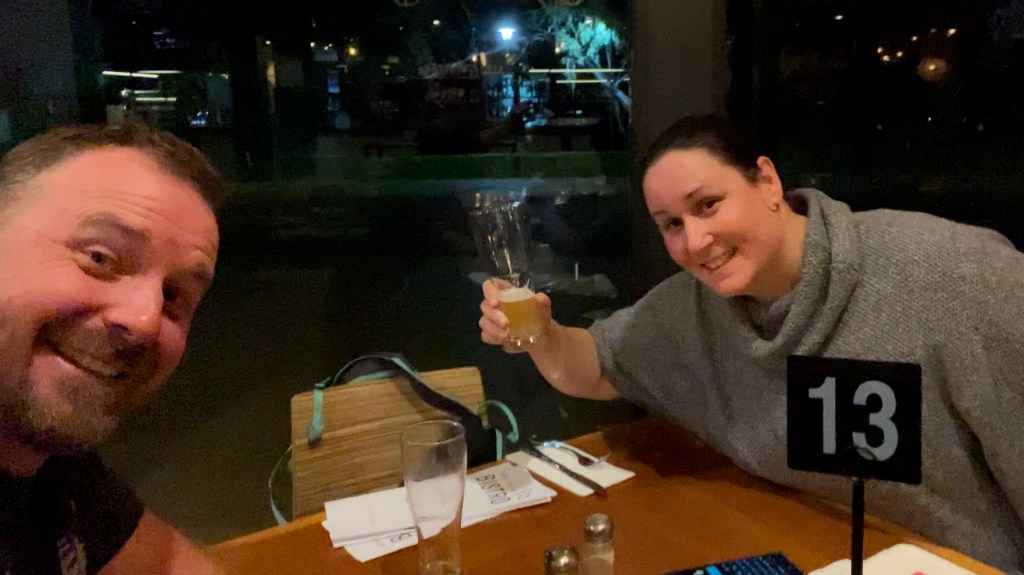
Day 58 – Berri to Loxton
Distance: 39km
Time in kayak: 6.2 hours
It was a cold morning this morning. When I got out of the tent at about 6am the weather said it was 4 degrees with wind chill of 1 degree. It looks like I will have similar cold mornings for the next week at least.
At around 7am I packed all my gear up and walked (trollied) all the gear from the caravan park down to the water. On the way I got to pat one of the caravan folk’s golden retriever, which made me realise how much I miss Chloe.
I started paddling at exactly 7.50am because I had a well timed plan. There is a really good cafe on the foreshore of Berri (River Jacks Cafe) that opens at 8am and I wanted a good breakfast and coffee before head off down the river. Breakfast was great and it was nice just taking my time and not rushing down the river.
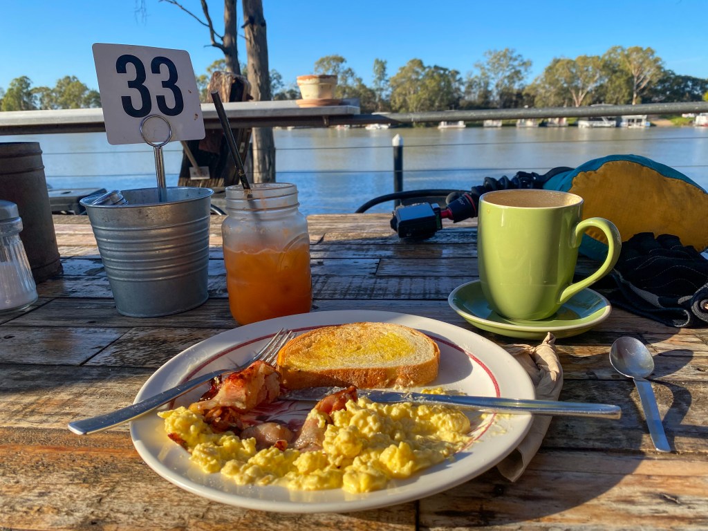
The paddle was pretty straight forward today. I went through Lock 5 about an hour after leaving Renmark. There was a bit of a mix of narrower and wide sections. The head wind was not as bad as it was yesterday.
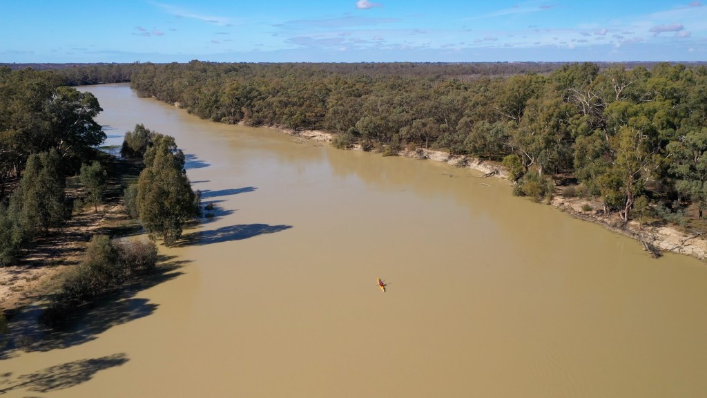
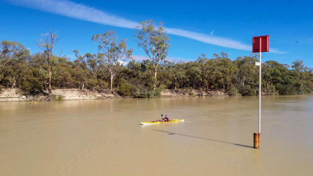
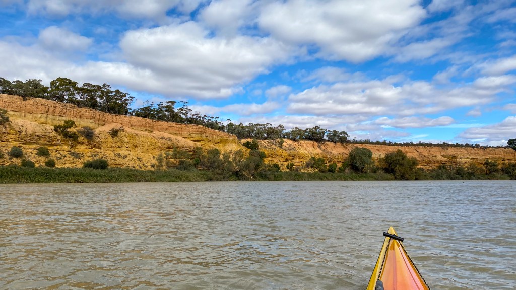
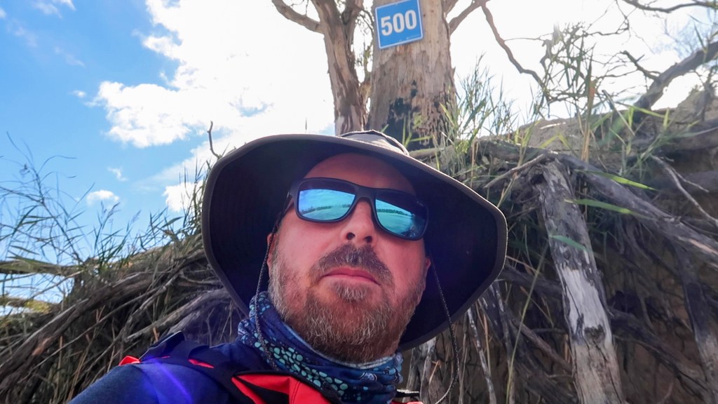
I achieved another milestone today (well I am calling it a milestone), I got to the 500km marker sign. So that means I only have 500km left until I get the sea.
About an hour out of Loxton, a houseboat caught up to me while I was drifting down the river eating an apple. I paddled next to them for a while and found we were doing exactly the same speed (9kmh). So I decided that I would sit behind them and use their wake to make my paddling a lot easier. I ended up doing this for about 30 minutes, which was a great way to finish a long day.
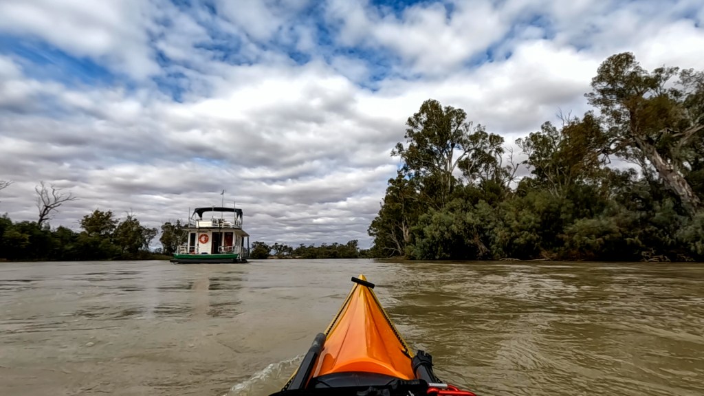
I arrived at the Loxton caravan park (which is about 2km past Loxton) at around 2.30pm. The caravan park is located on a huge bend in the river. Fortunately I booked a riverside site and they told me in advance which spot was mine, so I could just pull straight up to it and set up camp. I eventually got around to walking up to reception which is about 800m away and checked in.
I then spent the afternoon catching up on blog posts and cooked (another) lovely steak for dinner in the camp kitchen.
I am finally catching up on my blogging. This is a mega post because I didn’t really have internet access for this leg of the trip. Sorry if it is a bit rough, writing this many posts is a lot of work, especially when you are tired.
Day 50 – Wentworth to Remote
Distance: 38km
Time in kayak: 7.5 hours
It hasn’t taken me long to get back into living “river hours”, when you go to bed just after sunset and wake up incredibly early. Even though I was in a comfy motel room I still woke up around 4.30am. Fortunately the bakery opens early so I was able to go down there and get some breakfast and a coffee (the last proper one for 6 days).
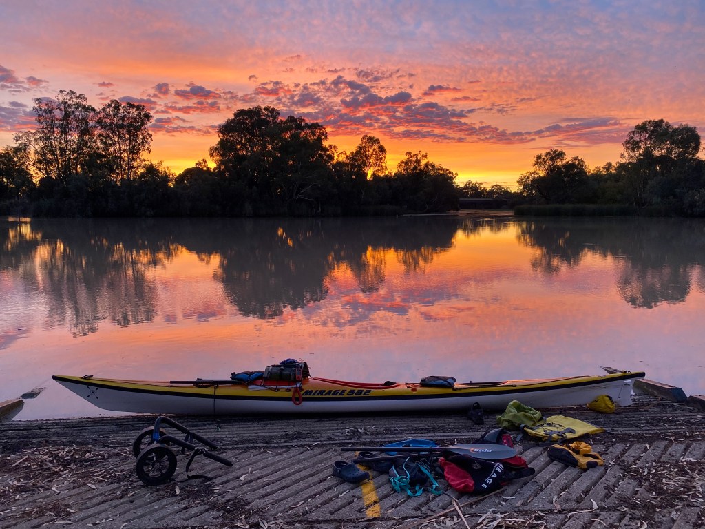
Once I was all packed up, I trollied (yes that is now a word) my kayak back down to the boat ramp before sunrise. Once again I was treated to a pretty amazing sky of colour. However, based on the forecast I was treating this as a bit of a “red in the morning, farmers warning”.
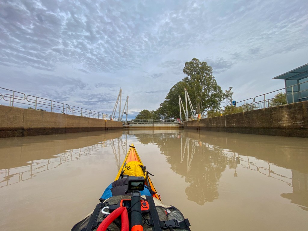
The first point of call was Lock 8, which was about 2km down the river. It doesn’t open until 8am, but I was pretty keen to get down there so I could get down the river before the weather set in. Arriving at the lock at about 7.40am, the lock keeper was quite happy to let me through early so he could get back to his coffee.
The highlight of the day was when I had the drone up to get some photos I spotted an emu swimming across the river. I didn’t know they did this, but apparently they are pretty good swimmers. I later saw 2 more doing the same thing. They look a lot like the Loch Ness Monster from a distance.
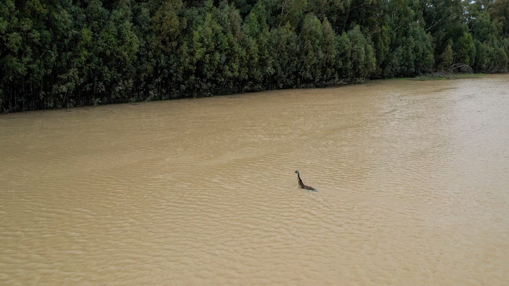
After a lunch of cheese and crackers, the clouds got darker and thunder started to rumble in the distance. I ended up getting one big shower and then patches of drizzle. Fortunately, as I approached my planned campsite, the bulk of the heavy rain slipped away to the south and missed me.
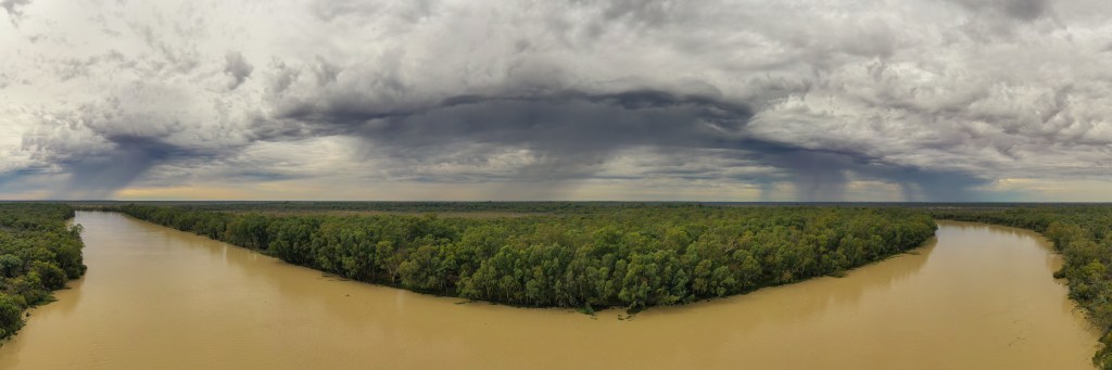
This campsite, which I found as a clearing on Google Earth, was great and I was able to set up my tarp ready for the rain. I then settled in and spent a leisurely afternoon under my tarp, reading a book.
The steady rain started around 3pm so I decided to put my tent up under the tarp and cooked an early dinner. Dinner was a lovely piece of steak with cucumbers, cherry tomatoes and snow peas on the side. It was the first time I have cooked steak on a Trangia stove and it was great (if I don’t say so myself).
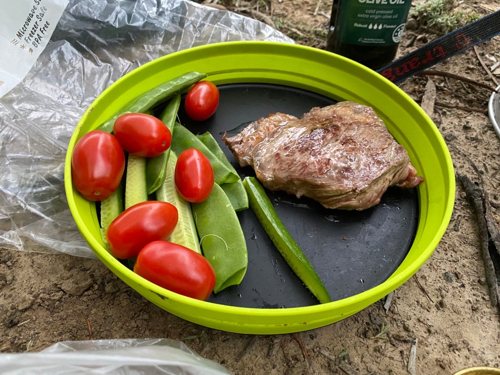
The temperature very mild so was able to sit outside the tent under the tarp after dark. No signs of mozzies yet.
Day 51 – Remote to Ned’s Corner
Distance: 43km
Time in boat: 7.75 hours
Well it rained a lot last night, until about 11am. Once again I woke up early (4am) after a pretty good sleep. I knew there were going to be strong headwinds so decided to leave before sunrise and get a lot of kilometres done before the wind picked up.
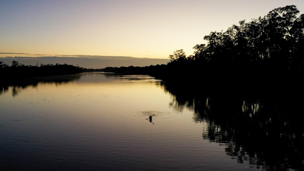
It was a gorgeous morning and the water was very glassy. The wind didn’t really pick up until about 10am, around when I arrived at Lock 9.
The river has got very wide, but I am still doing around 8kmh. This has been pretty much my average speed since Mildura.
It was a fairly uneventful day overall. I listened to an audiobook, which is one of Lee Child’s Jack Reacher books… perfect trash for a long paddle. I have been trying to paddle in the shade of the trees on the bank because it has been pretty hot and helps give a little bit of protection from the head winds.
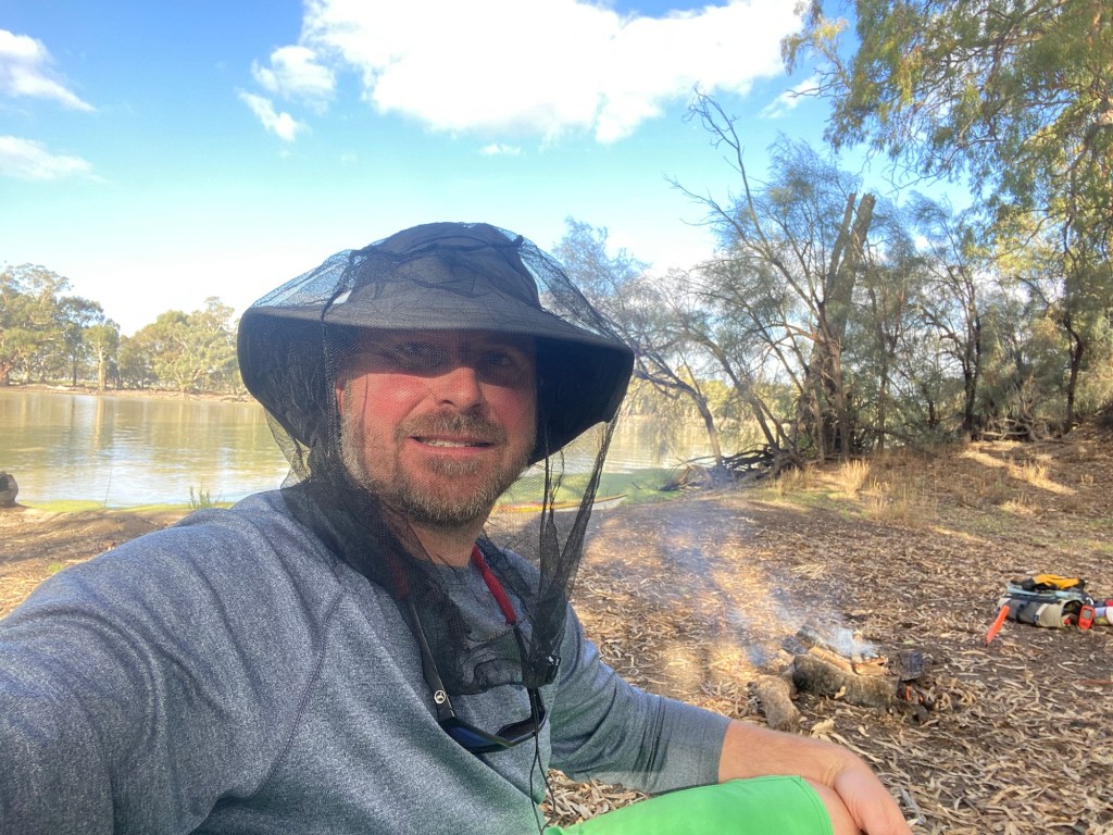
I arrived at my campsite (Ned’s Corner) at around 2.30pm. I had a lovely a good afternoon drying the gear in the wind, sorting out my food supplies and even lit my first fire for this leg of the trip.
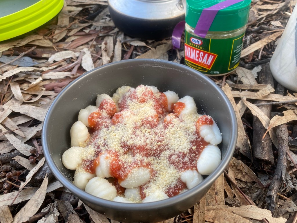
Dinner tonight was gnocchi with red sauce and parmesan cheese. Very easy and very palatable.
I decided to have another early night because the mozzies have finally found me.
Day 52 – Ned’s Corner to near Lock 7
Distance: 46km
Time in boat: 7.5 hours
I slept in a bit (6am) after a fairly rough night. I have developed a bit of a cold. First thing I did was a rapid antigen test (RAT or in this case Bush RAT) to check it wasn’t COVID. It wasn’t thankfully, but I guess if I had to isolate, this was a pretty good way to do it.
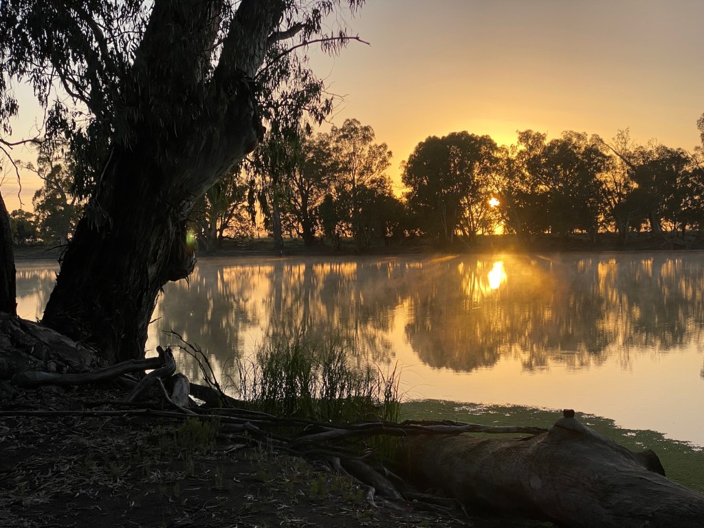
It was a lovely misty morning and I was on the water at around 7.30am.
Despite my cold (which seemed to be worst when lying down) I paddled hard for the first 17kms and arrived at Lock 8 at 10am. I had rung the lock keeper yesterday and told him I would be there at 10am and he was very impressed I arrived right on time. We had a good chat while the lock lowered me down the 2 metres.
It was a very warm day and there was no wind, so I spent a lot of the day baking under the sun.
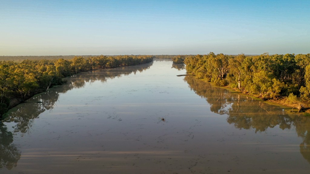
The birdlife on this section of the river is very different from above Mildura. There are hardly any cockatoos, galahs or corollas. There are a lot more herons, spoonbills, quite a few emus and plenty of Mum’s nemesis, the ibis.
Today ended up being a 2 lock day. I rocked up to Lock 7 at 2.30pm. This one was a bit disappointing because it only dropped about 20cm. I was surprised when he pretty much shut the upstream gates and then opened up the downstream gates. I could have almost just paddled over the weir.
I had planned to camp on a beach just near the lock, however I saw a table symbol on the map a couple of kilometres further on. The small luxuries in life become pretty important when you are living out of a kayak. So I pushed on and found a nice shady spot with a table.
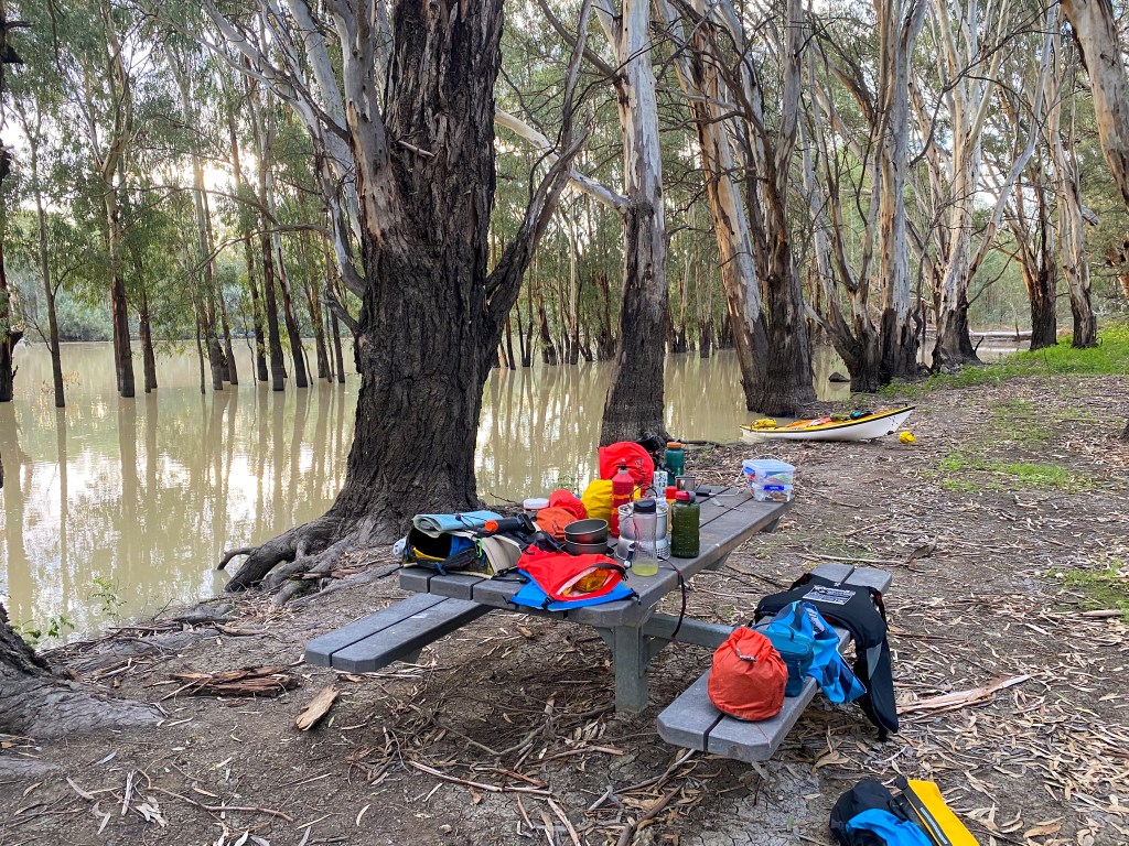
My cold was feeling a bit better today but I was really tired and hungry. I soon felt better after a dinner of pesto flavoured instant pasta.
Day 53 – Near Lock 7 to SA/NSW Border
Distance: 49km
Time in boat: 9.5 hours
I woke up really early again (4am) after a moderately better sleep. I decided to get up and get on the water before sunrise.
I really love paddling in dark (with a head torch). Looking up at the stars and listening to the birds all waking up. There was another lovely sunrise with a mist sitting on water. I was also able to see the aligned planets (Venus, Jupiter, Mars and Saturn).
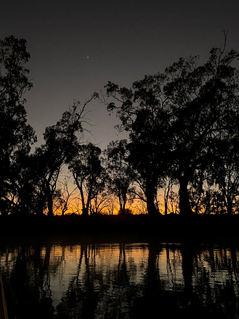
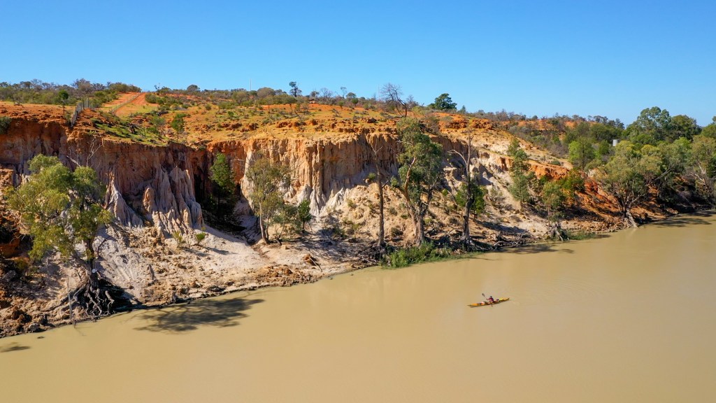
There were some amazing cliffs with great geology at Devils Elbow. This spot is a very sharp 90 degree bend and apparently (according to my source of all river knowledge, Peter Phillips) the paddle steamers used to have to go backwards around the bend because it was so sharp.
There were lots of amazing cliffs all along this stretch of the river.
This section of the river also became a lot narrower and was more reminiscent of the river above Mildura. There were a lot more bends and willow trees.
It was so pretty and such nice weather, I even stopped on side of river for and got my stove out to have a coffee break.
I had originally planned to camp well before getting to the SA border, but I ended up getting to my planned campsite at around 1pm. So I decided to keep going because I was very keen to get into South Australia. I got to the SA/NSW border at around 3pm and found a campsite (on the Victorian side) soon afterwards. The New South Wales, Victorian and South Australian borders are pretty confusing because when they originally surveyed them, they planned to have them follow the 141 degree longitude line but the NSW and Victorian survey teams ended up missing each other by about 6km (due to the inaccuracies of clocks and sextants in the 1800s). There is an interesting article about this here.
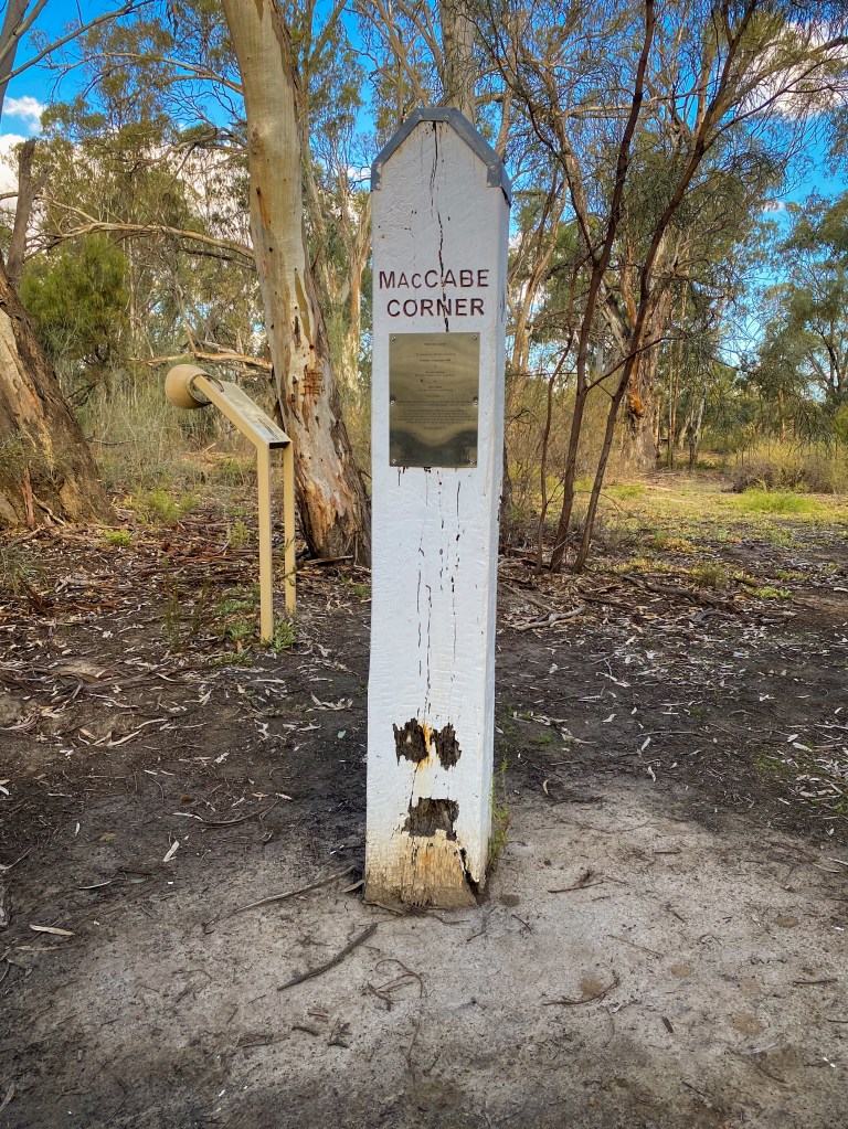
Once I got to camp, I was totally knackered after spending 9.5 hours on the water. So I ate my dinner and went straight to bed as soon as the sunset.
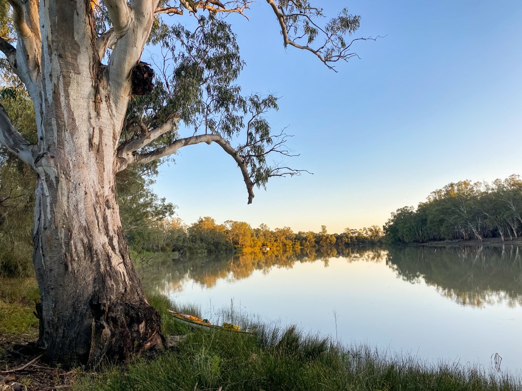
Dinner was an instant Pumpkin Risotto. It was really bland and I didn’t eat much of it.
Day 54 – SA/NSW Border to near Wilkinson’s Cutting
Distance: 44km
Time in boat: 8 hours
Another early morning and once again I was on the water around sunrise. I totally forgot about the fact that SA is in a different time zone and once I got on the water (crossing from Victoria to SA) it went from 7am to 6.30am.
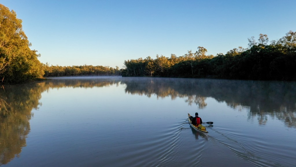
It was another lovely day, with a just a gentle breeze. I pushed pretty hard in the morning to do the 26km to Lock 6 because it closes between 11.30am and 1pm and I didn’t want to miss that window. I got there around 11am and once through the lock (a much more impressive 2.5m drop than Lock 7) I pulled over for a cup of coffee on the bank.
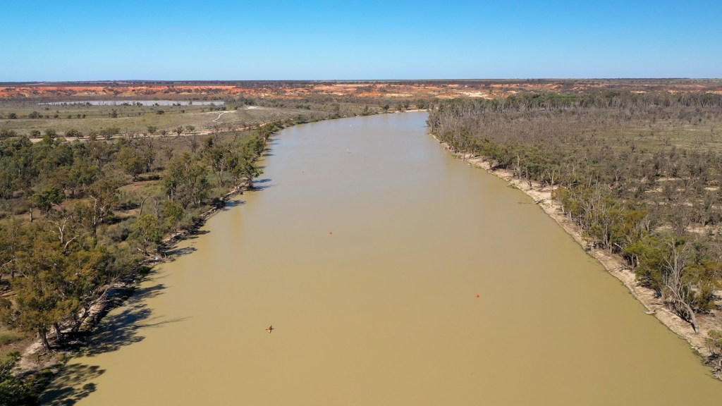
My body was very tired today and my cold was getting to me a bit.
I had originally planned to camp just past the lock but it was only 12.30pm when I got to that campsite. Plus I had already decided I would go further today to make tomorrow’s trip to Renmark (and it’s shops full of treats) a bit shorter.
I ended up paddling about 8km further and camped just past the Woolshed Brewery. A lot of people have told me I have to go to the brewery and due to some pretty bad planning I have got here on a Tuesday, which is one of the only days it is closed.
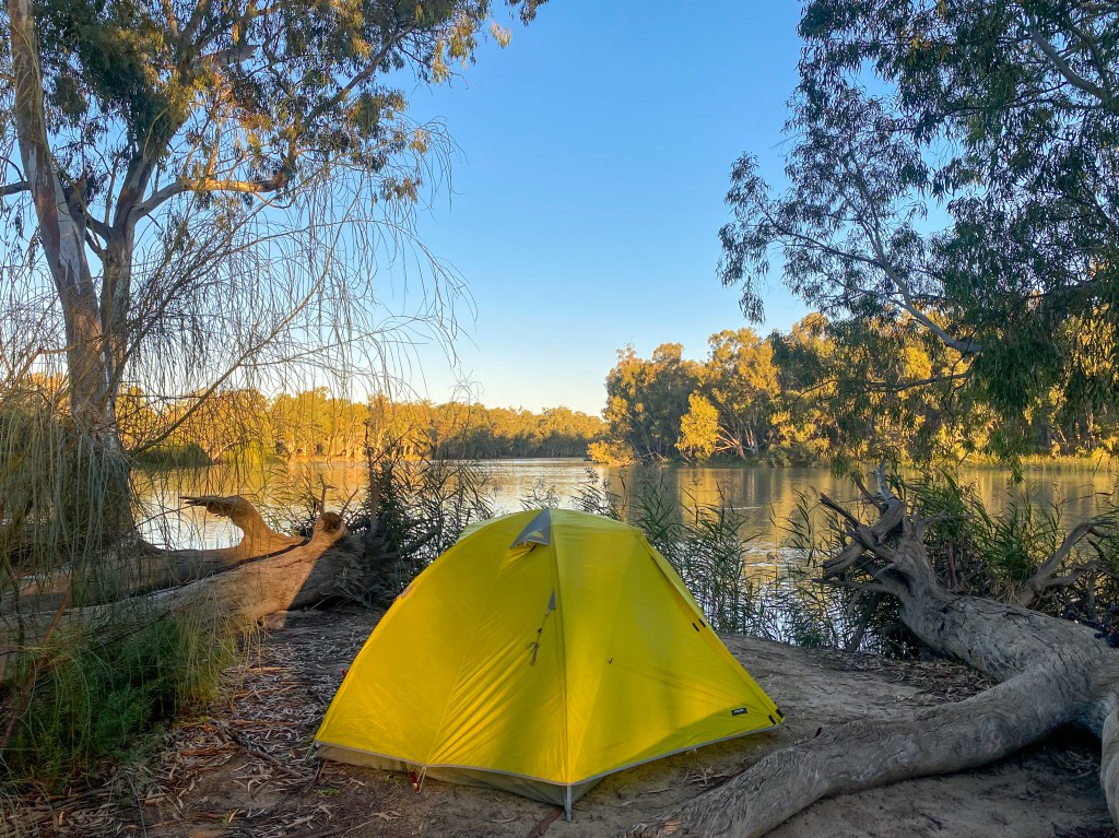
I was too tired to cook dinner tonight so I just snacked on all the various things in my food bags. The night before a food resupply is always good for being able to eat leftovers and all your snacks.
Day 55 – Wilkinson’s Cutting to Renmark
Distance: 35km
Time in boat: 6 hours
Today I started paddling just after sunrise. I wanted to get to Renmark as early as possible to get lunch and to begin my 2 night my rest period.
Once again I had a lovely sunrise and the water was very glassy.
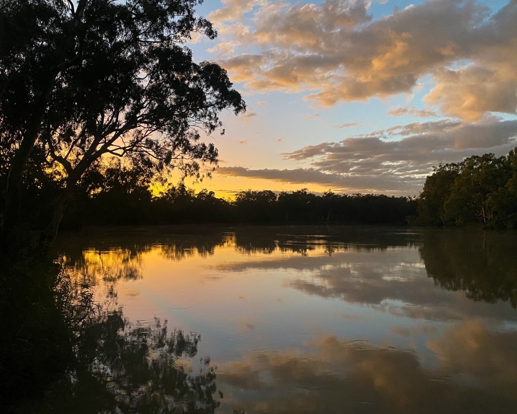
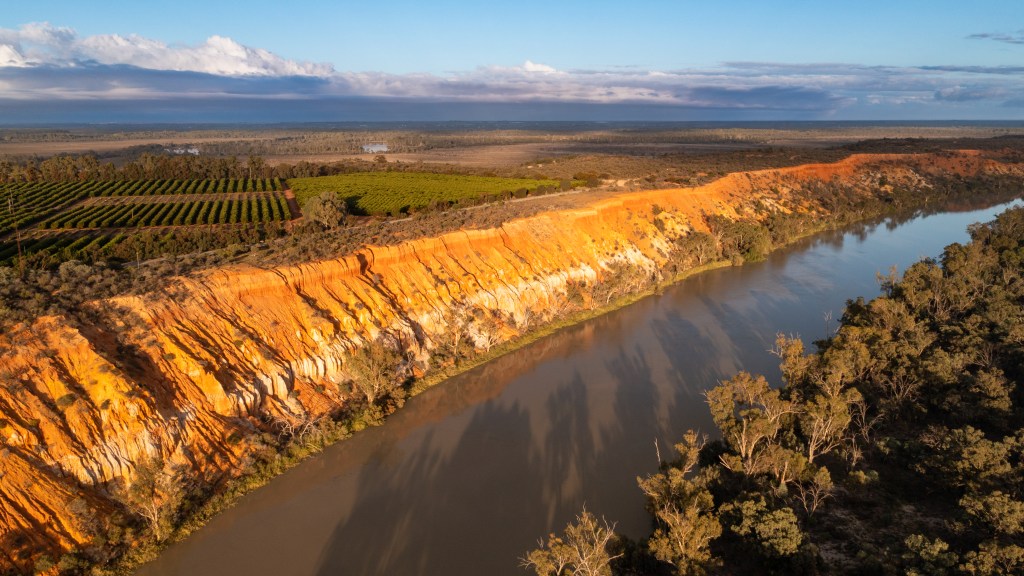
After about an hour of paddling I got to Heading Cliffs, which are truly spectacular. I timed it really well because it was blue skies and no wind. There were incredible reflections on the water which made it perfect for photos and video. I just drifted down the river marvelling at the cliffs.
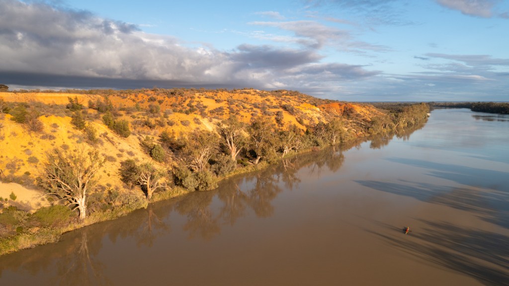
Just 20 minutes later, the weather suddenly turned. It became overcast, drizzling and windy. I then had to fight against the headwind for a couple of hours.
I finally got to Renmark just after 2pm. Renmark has a beautiful foreshore, but it is designed for houseboats with a wharf that is about a foot high, so there was nowhere to get my kayak out of the water to go to the shops. So I had to paddle the extra 2km to the caravan park where I was staying.
Fortunately I was able check into my cabin early and I could have a quick shower before walking the 30 minutes back into town.
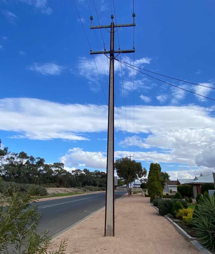
I realised that this is the first time I have been back to SA (where I was born and lived my first 8 years) since 1990… 32 years ago. I started getting a bit nostalgic about things that are very South Australian, like stobie poles and YoYo biscuits.
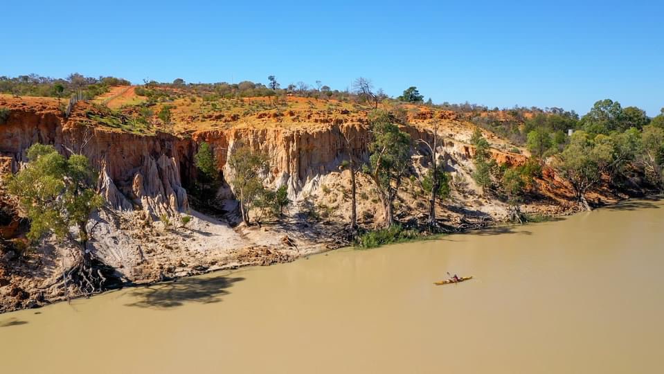
Here is the video of the seventh paddle leg of the Summit to Sea journey down the Murray River from Mildura to Renmark.
Day 48 – 13km – Mildura to Merbein Common
Day 49 – 36km – Merbein Common to Wentworth
Day 50 – 38km – Wentworth to Remote
Day 51 – 43km – Remote to Ned’s Corner
Day 52 – 46km – Ned’s Corner to Lock 7
Day 53 – 49km – Lock 7 to SA/NSW Border
Day 54 – 43km – SA/NSW Border to Wilkinsons Cutting
Day 55 – 35km – Wilkinsons Cutting to Renmark
Total Distance for the leg: 303km
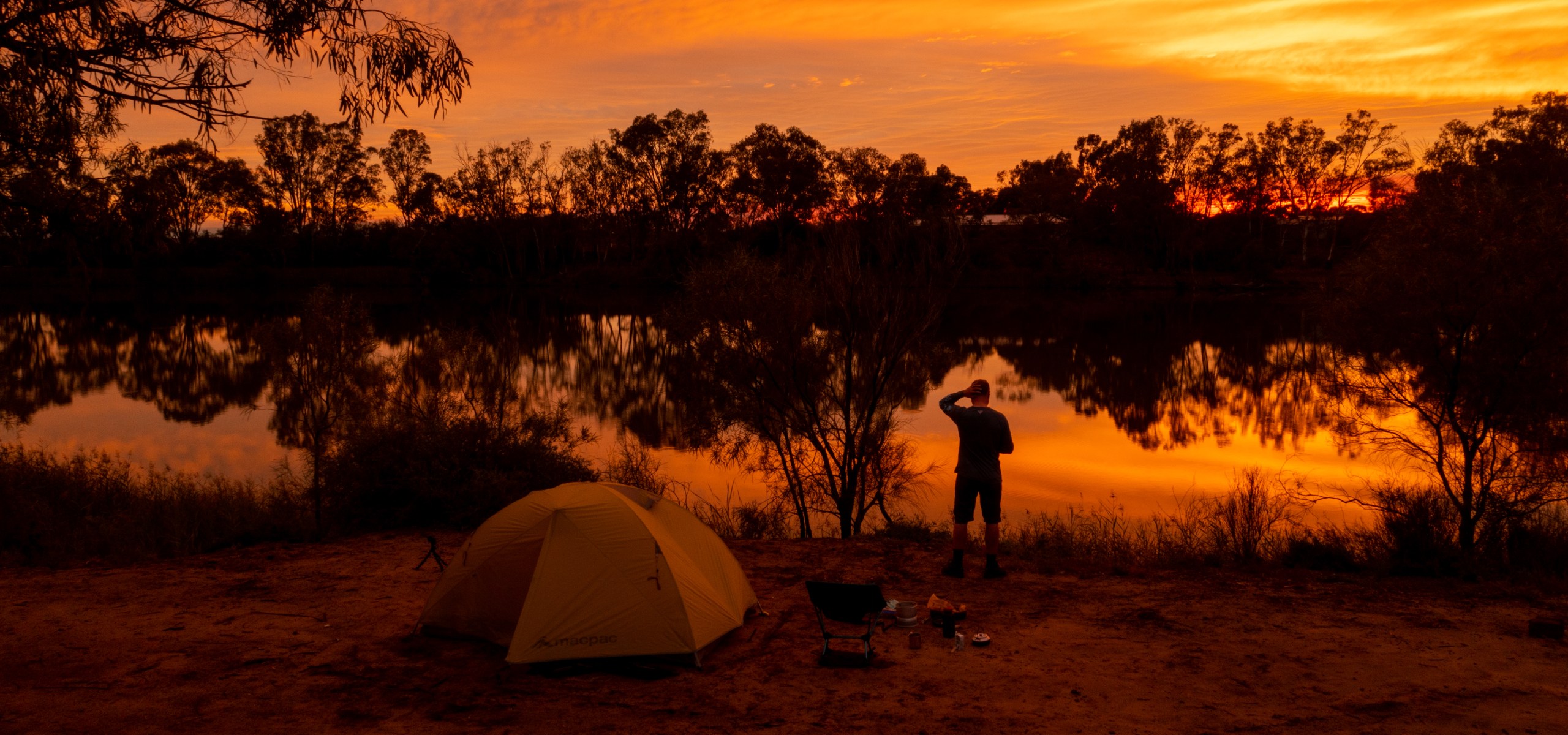
Day 48 – Mildura to Merbein
From: Mildura
To: Merbein
Distance: 13km
Total Distance Travelled: 1623km
Distance to Go: 851km
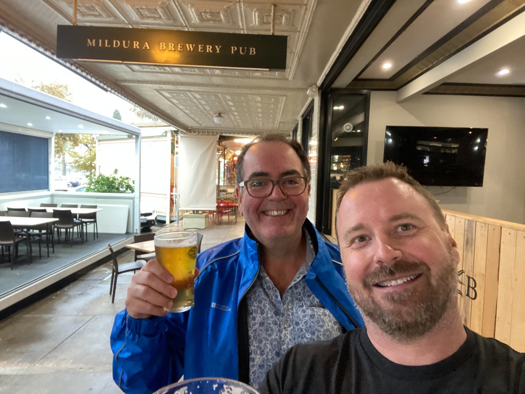
After a ten month break, I have finally got back on to the Murray River. A few days ago I drove to Mildura and spent two nights in town. This gave me a day to buy all my food and get everything ready for the paddle. A good friend of mine, Doug, kindly flew up from Melbourne to spend 24 hours with me and it was great opportunity to hang out in the various drinking establishments that Mildura has to offer. We also caught up with some local ballooning friends (Kerry, Robyn, Ian and Carol) for dinner.
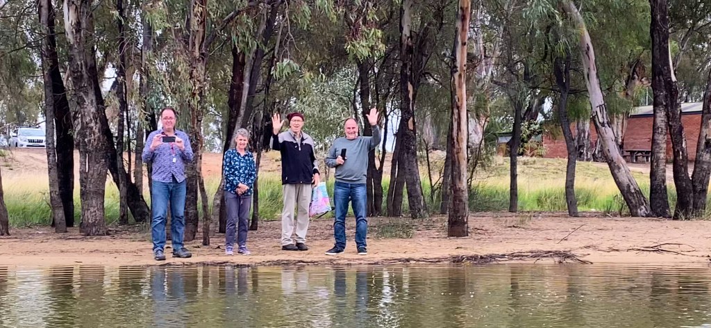
On Wednesday morning, Doug and I headed down to the Mildura District Canoe Club on the outskirts of Mildura to launch my kayak. I had originally planned to start in the centre of town (at the Ornamental Lakes) and go through the Mildura Lock (Lock 11), however I rang the lock keeper the day before and he told me the lock would be closed for the day due to maintenance. I am glad I called, because I would have packed all my gear in the boat, paddled 15 minutes and then would have had to unpack all the gear again and carry it all around the lock. We were soon joined by the farewell committee of Kerry, Carol and Ian. It was lovely to have some friendly faces wave me off.
The paddle on Wednesday was really short (only about 14km) which took only a few hours. My original plan (last year) was to paddle the 50km from Mildura to Wentworth in one day. However, since I had not paddled my full loaded boat from 10 months and I am less fit than I was back then, I decided to split the first day into two.
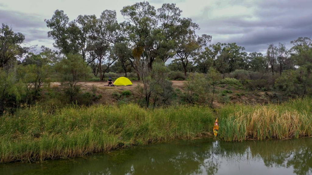
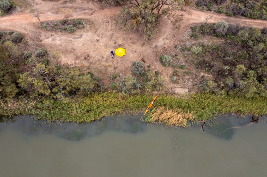
I didn’t really get back into the rhythm of paddling for most of the paddle. I did a lot of drifting and took my time to just enjoy being on the river again. At around lunchtime I found a great camping site on the Merbein Common, which was quiet and gave me lovely views of the river, so I decided to grab it. With an afternoon to kill, I decided to go for a walk around town (about 30 mins away) and some of the local parklands.
Day 49 – Merbein to Wentworth
From: Merbein
To: Wentworth
Distance: 36km
Total Distance Travelled: 1636km
Distance to Go: 838km
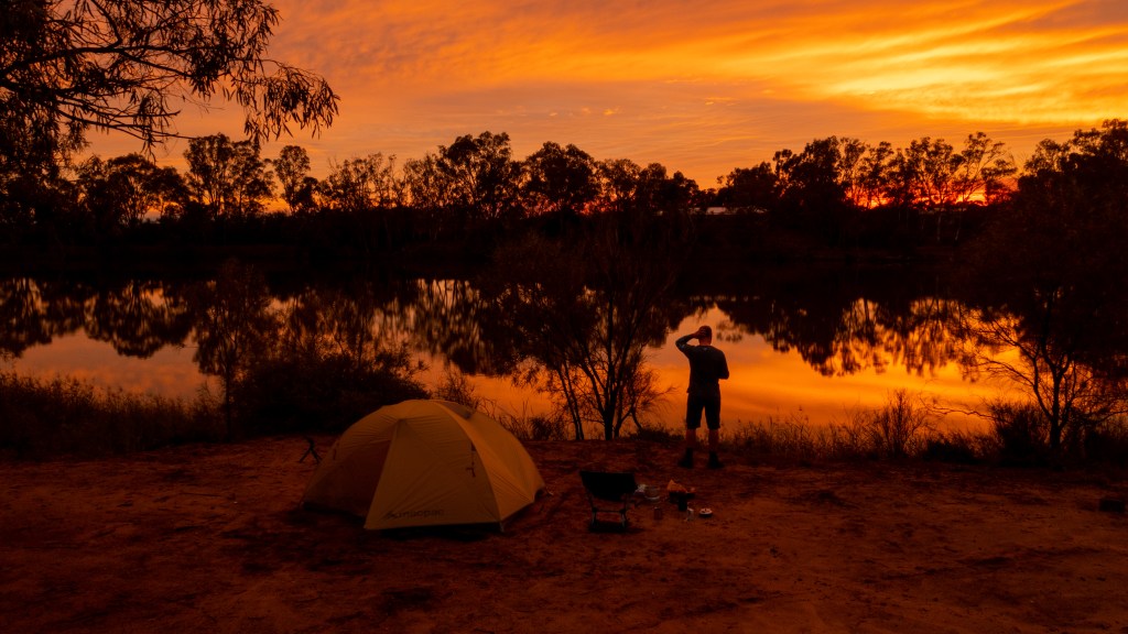
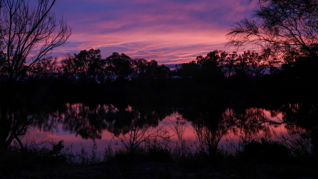
After a fairly uneventful evening and pretty good sleep, at around 6.30am I opened the tent flap to check the weather and saw that there was a pretty amazing sunrise forming. So I quickly grabbed the cameras and the drone and went to work capturing the beauty of the morning.
I was packed up and on the water by about 8.30am and started making my way down to Wentworth. The river is a lot wider and slower than I remember it being above the weir in Mildura. I quickly realised that I have lost a lot of my paddle fitness but I eventually got into the groove.
After a couple of hours I came to a spot where there was a shortcut, that would mean I could skip about 8km of the river (near Dareton). I sat there for a while struggling with the moral dilemma of whether I should be lazy and take the shortcut or if I should continue along the main part of the river. Since it was such a nice sunny day, I decided to stick to the river and do the extra hour of paddling.

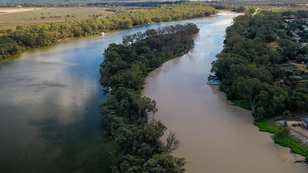
At around 3pm I finally reached the town of Wentworth. Wentworth sits on the junction of the Murray and Darling Rivers. The Darling is Australia’s third longest river (Murray 2508km, Murrumbidgee 1485km, Darling 1472) and is famous for having all sorts of ecology and environmental issues. It has a lot of issues with salinity, lack of water, mass native fish deaths and major issues with carp. The water is the colour of chocolate milk because (as was explained to me by a paddle steamer captain in Bourke last year) the carp have eaten all the grasses on the river bed and as a result all the silt just flows down the river.

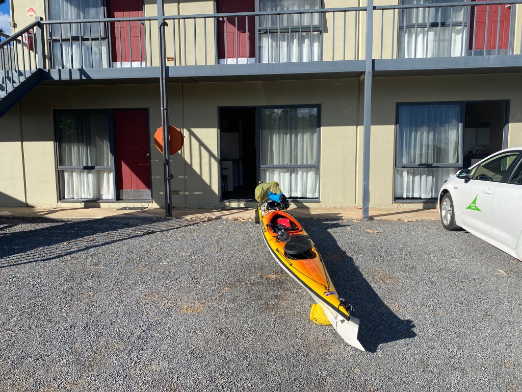
I had originally planned to stay at the caravan on the river bank, but it is closed for renovations. So instead, I had to put the wheels on the kayak and walk up to the town’s one motel.
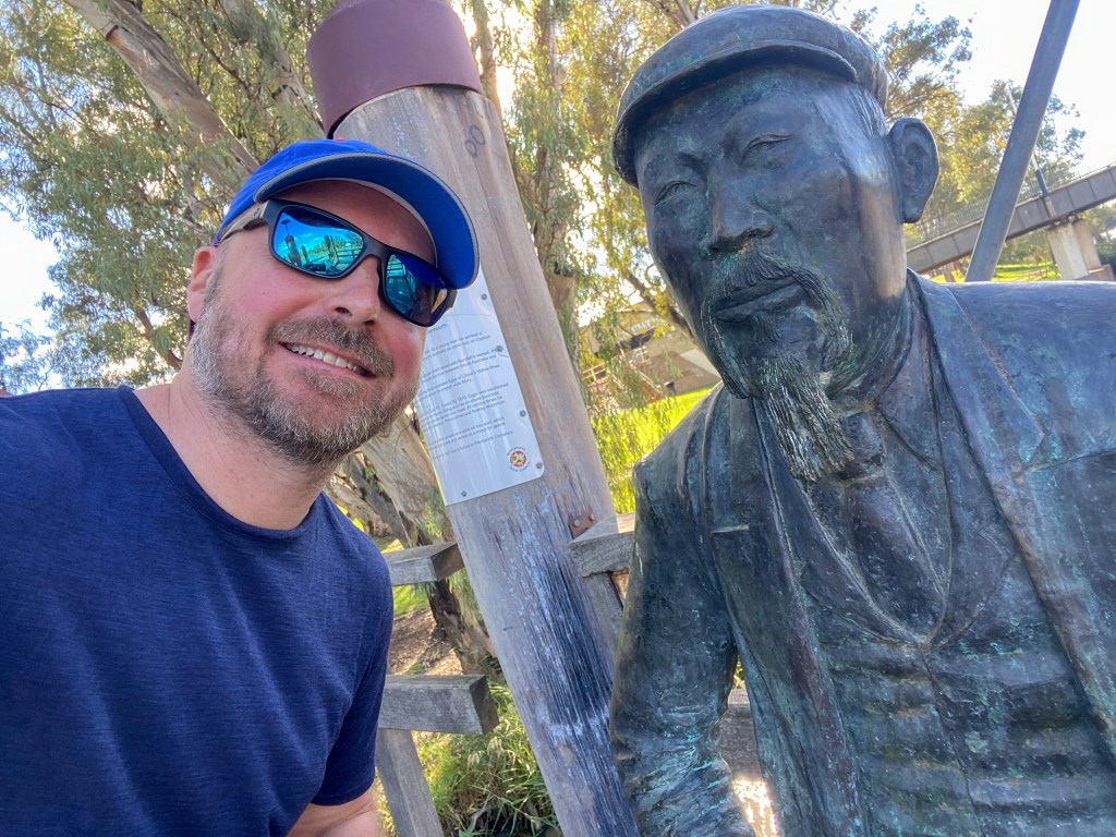
One of the highlights of Wentworth was that I got to see the statue of Captain John Egge. He came out from China in the mid 1800s to be a cook on a paddle steamer. He then purchased a lot of land and started a paddle steamer company, making him a very powerful person in the region. He also (somewhat scandalously) married an English woman and had 8 children. Apparently half the town is related to Captain Egge. The reason this is so significant is because a good friend of ours in Sydney, Colin, discovered a couple of years ago that Captain Egge was his great great grandfather. He didn’t even know that he had Chinese blood. So it was great to be able to meet Colin’s ancestor and get some photos for him. If you want to read more about Captain Egge you can go here.
Tomorrow morning is going to be an early start because I have to walk back to the river and paddle down to the Wentworth lock (Lock 10) by 8am. I have 6 days of being remote coming up, so I have done my last shop for supplies and am now enjoying my last beer and pub meal before going bush.
So there probably won’t be any posts or photos for the next week because I don’t think I will have much in the way of mobile service. So see you in a week.
P.S. Sorry if this blog post is a bit rough. Been a while since I have written one.

